Old Maps of Greens Gap, New Mexico for Hiking & Exploration
Hike through history with 12 historic maps of Greens Gap. Explore old trails, ghost towns, and forgotten backroads — perfect for outdoor adventurers and local explorers.
- Rediscover forgotten places: Map out old mining camps, roads, and footpaths that no longer exist on modern maps.
- Layer with modern tools: Combine with LiDAR or satellite views to plan hikes through historical terrain.
- Made for exploration: Popular among hikers, overlanders, and local history lovers.
Use these maps to find adventure and explore the hidden past of Greens Gap.
Greens Gap, NM maps
(12)- 1954 Map of Saint Johns, 1968 Print
 1954 Saint Johns1968 Print · USGSThe high plateau of the Arizona-New Mexico border is captured here in the mid-1950s, showing the intersection of tribal lands and national forests. Researchers can trace the cattle country and mountain outposts from Saint Johns to Pie Town and McNary.3 unique versions available
 - 1957 Map of Saint Johns
 1957 Saint Johns1957 Print · USGSThe Arizona-New Mexico borderlands are captured here in the mid-fifties, showing the high-country settlements and federal lands before modern development. Genealogists and historians can trace old homesteads and landmarks like the Red Hill Post Office, Lyman Reservoir, and the mountain communities of Eagar and Springerville.
 - 1958 Map of Saint Johns
 1958 Saint Johns1958 Print · USGSEastern Arizona and western New Mexico appear here in the late fifties, showcasing the high plateau and forest landscapes along the Continental Divide. Researchers can trace early ranching routes and water systems like Lyman Reservoir or locate remote settlements such as Fence Lake and Atarque.2 unique versions available
 - 1962 Map of Saint Johns
 1962 Saint Johns1962 Print · USGSEastern Arizona and the New Mexico borderlands come alive in the early sixties, showing a landscape of high-plateau ranching and early national monuments. Trace the path of the Atchison Topeka and Santa Fe or locate old water sources like Salado Springs and Lyman Reservoir.
 - 1981 Map of Wallace Mesa
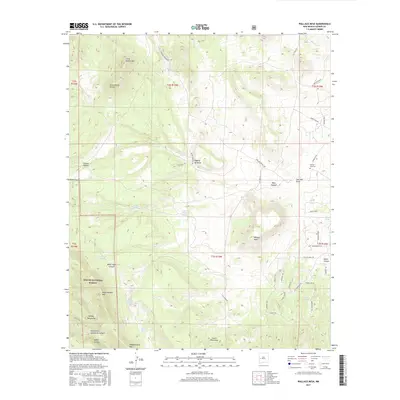
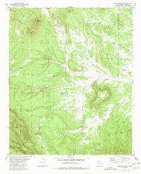 1981 Wallace Mesa1981 Print · USGSCatron County ranching and forest lands are captured in the early eighties as the Continental Divide winds through the high mesas. Researchers can locate the settlement of Collinsville, the isolated Greens Gap Cem, and vital water sources like Nance Windmill.
 - 1983 Map of Quemado
 1983 Quemado1983 Print · USGSCatron County ranching and forest lands are captured in the early eighties as the Continental Divide winds through these high-altitude mesas. Genealogists and local historians can trace the remote outposts of Pie Town and Red Hill or locate landmarks like Adams Diggings.2 unique versions available
 - 1999 Map of Wallace Mesa, 2002 Print
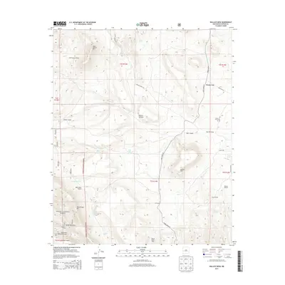
 1999 Wallace Mesa2002 Print · USGSCatron County's high-mesa country is captured here at the close of the twentieth century, where the Continental Divide cuts through the forest. Researchers can locate remote ranching landmarks and water sources like the Nance Windmill, Collinsville, and the Greens Gap Cemetery.
 - 2011 Map of Wallace Mesa, 2011 Print
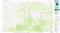
 2011 Wallace Mesa2011 Print · USGSCovers Greens Gap, including Catron County, United States, and other nearby areas
 - 2013 Map of Wallace Mesa, 2013 Print
 2013 Wallace Mesa2013 Print · USGSCovers Greens Gap, including Catron County, United States, and other nearby areas
 - 2017 Map of Wallace Mesa, 2017 Print
 2017 Wallace Mesa2017 Print · USGSCovers Greens Gap, including Catron County, United States, and other nearby areas
 - 2020 Map of Wallace Mesa, 2020 Print
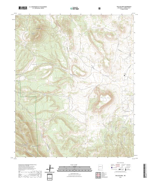
 2020 Wallace Mesa2020 Print · USGSCovers Greens Gap, including Catron County, United States, and other nearby areas
 - 2023 Map of Wallace Mesa, 2023 Print
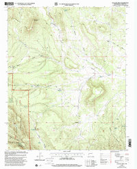
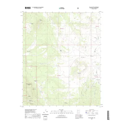
 2023 Wallace Mesa2023 Print · USGSHigh desert ranching and rugged mountain peaks dominate this Catron County landscape at the Continental Divide. Genealogists and local historians can locate the Greens Gap Cem and trace remote paths like Wallace Mesa Trl and Last Frontier Trl.
End of results
Showing maps 1-12 of 12
Top cities near Greens Gap
Frequently asked questions
- What are the different types of historical maps available for Greens Gap?
- What is the oldest map of Greens Gap?
- Where can I purchase historical maps of Greens Gap for my home or office?
- Where can I download high-res historical maps of Greens Gap?
- Are there historical topographic maps available for Greens Gap?
- Is there historical aerial imagery available for Greens Gap?
- Where are historical maps of Greens Gap sourced from?