Old Maps of Manuelito Place, New Mexico for Metal Detecting
Plan your next treasure hunt with 12 historic maps of Manuelito Place. Find old homesites, ghost towns, trails, and gathering spots that may be lost to time — perfect for identifying promising metal detecting locations.
- Locate forgotten sites: Uncover places like long-lost settlements, abandoned rail lines, or gathering spots.
- Plan better hunts: Use map overlays combined with LiDAR or satellite views to narrow in on historically rich areas.
- Made for detectorists: Thousands of hobbyists use these maps to discover relics, coins, and hidden history.
Use these historic maps to boost your research and find new opportunities beneath the surface of Manuelito Place.
Manuelito Place, NM maps
(12)- 1954 Map of Saint Johns, 1968 Print
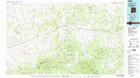
 1954 Saint Johns1968 Print · USGSThe high plateau of the Arizona-New Mexico border is captured here in the mid-1950s, showing the intersection of tribal lands and national forests. Researchers can trace the cattle country and mountain outposts from Saint Johns to Pie Town and McNary.3 unique versions available
 - 1955 Map of Red Hill, 1956 Print
 1955 Red Hill1956 Print · USGSSoutheast New Mexico's booming petroleum landscape is captured here during the mid-fifties expansion. Researchers can trace the extensive network of the Red Lake Oil Field and Empire Oil Field alongside the historic Diamond A Ranch.
 - 1957 Map of Saint Johns
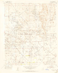
 1957 Saint Johns1957 Print · USGSThe Arizona-New Mexico borderlands are captured here in the mid-fifties, showing the high-country settlements and federal lands before modern development. Genealogists and historians can trace old homesteads and landmarks like the Red Hill Post Office, Lyman Reservoir, and the mountain communities of Eagar and Springerville.
 - 1958 Map of Saint Johns
 1958 Saint Johns1958 Print · USGSEastern Arizona and western New Mexico appear here in the late fifties, showcasing the high plateau and forest landscapes along the Continental Divide. Researchers can trace early ranching routes and water systems like Lyman Reservoir or locate remote settlements such as Fence Lake and Atarque.2 unique versions available
 - 1962 Map of Saint Johns
 1962 Saint Johns1962 Print · USGSEastern Arizona and the New Mexico borderlands come alive in the early sixties, showing a landscape of high-plateau ranching and early national monuments. Trace the path of the Atchison Topeka and Santa Fe or locate old water sources like Salado Springs and Lyman Reservoir.
 - 1972 Map of Red Hill, 1976 Print
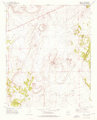 1972 Red Hill1976 Print · USGSCatron County ranching country is captured in the early seventies, centered around the settlement at Red Hill. Researchers can trace family homesteads and vital water sources like Davies Place, Mardelito Place, and Gatlin Lake.
 - 1983 Map of Quemado
 1983 Quemado1983 Print · USGSCatron County ranching and forest lands are captured in the early eighties as the Continental Divide winds through these high-altitude mesas. Genealogists and local historians can trace the remote outposts of Pie Town and Red Hill or locate landmarks like Adams Diggings.2 unique versions available
 - 2011 Map of Red Hill, 2011 Print
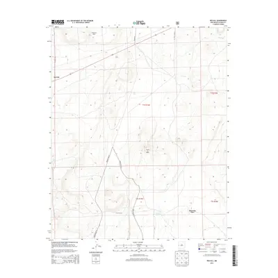
 2011 Red Hill2011 Print · USGSCovers Manuelito Place, including Red Hill, Catron County, and other nearby areas
 - 2013 Map of Red Hill, 2013 Print
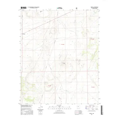
 2013 Red Hill2013 Print · USGSCovers Manuelito Place, including Red Hill, Catron County, and other nearby areas
 - 2017 Map of Red Hill, 2017 Print
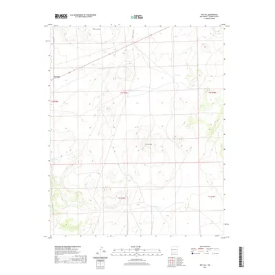
 2017 Red Hill2017 Print · USGSCovers Manuelito Place, including Red Hill, Catron County, and other nearby areas
 - 2020 Map of Red Hill, 2020 Print
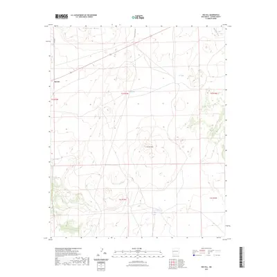
 2020 Red Hill2020 Print · USGSCovers Manuelito Place, including Red Hill, Catron County, and other nearby areas
 - 2023 Map of Red Hill, 2023 Print
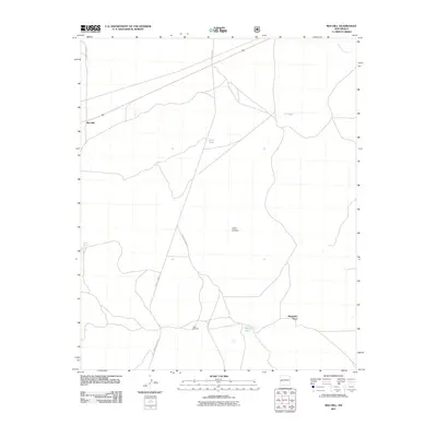
 2023 Red Hill2023 Print · USGSRed Hill and the surrounding Catron County high desert are captured here in the early twenty-first century. Researchers can trace land use patterns through features like Cimarron Mesa, Gatlin Lake, and ranching infrastructure such as Luna Tank.
End of results
Showing maps 1-12 of 12
Top cities near Manuelito Place
Frequently asked questions
- What are the different types of historical maps available for Manuelito Place?
- What is the oldest map of Manuelito Place?
- Where can I purchase historical maps of Manuelito Place for my home or office?
- Where can I download high-res historical maps of Manuelito Place?
- Are there historical topographic maps available for Manuelito Place?
- Is there historical aerial imagery available for Manuelito Place?
- Where are historical maps of Manuelito Place sourced from?