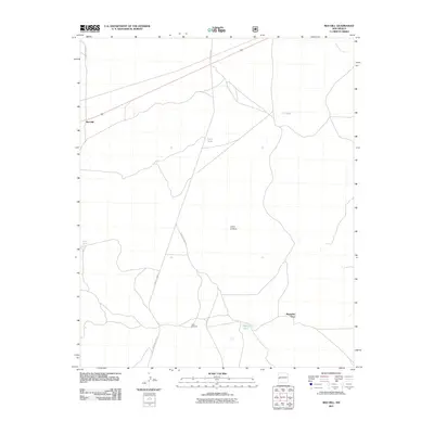
2011 Map of Red Hill
USGS Topo · Published 2011About this map
Red Hill serves as a remote western New Mexico settlement along U.S. Route 60, an area defined by its high-desert ranching heritage. The landscape is dotted with vital water sources such as Gatlin Lake, Luna Tank, and Loco Tank, which underscore the importance of water management in this arid territory. Ranching history is further evidenced by landmarks like the Lujan Windmill and the naming of Manuelito Place in the southern portion of the quadrangle.
Find a feature on this map
14 named features on this map. Tap any name to fly to it.
Don’t see what you’re looking for? This feature index may not catch every label — zoom into the map to look around manually.
Map Details
Editions of this 2011 Red Hill Map
This is the sole edition of this map. No revisions or reprints were ever made.
Other maps of this area

1954 · Saint Johns
USGS Topo · 1:250,000
1955 · Red Hill
USGS Topo · 1:24,000

1957 · Saint Johns
USGS Topo · 1:250,000

1958 · Saint Johns
USGS Topo · 1:250,000

1962 · Saint Johns
USGS Topo · 1:250,000
1972 · Red Hill
USGS Topo · 1:24,000
1972 · Blaines Lake
USGS Topo · 1:24,000
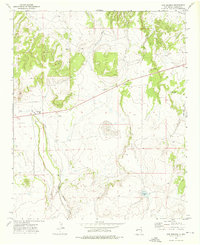
1972 · Cow Springs
USGS Topo · 1:24,000
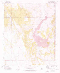
1972 · Goat Spring
USGS Topo · 1:24,000
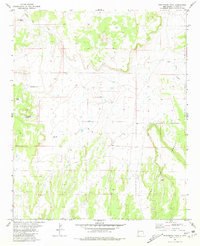
1981 · Ponderosa Tank
USGS Topo · 1:24,000