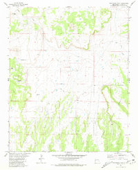
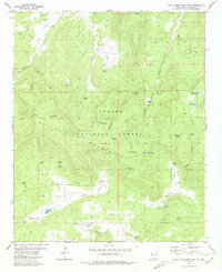
1981 Map of Ponderosa Tank
USGS Topo · Published 1981About this map
Apache National Forest dominates the southern landscape of this New Mexico quadrangle, where the high desert terrain is defined by its water management and grazing history. The settlement of Sanchez stands as a focal point in a region characterized by sparse but essential water sources like Agua Fria Creek. Ranching infrastructure is evident through named landmarks such as North Windmill, South Well, and several catchment areas including Antelope Tank, Year Long Tank, and the eponymous Ponderosa Tank. These features suggest a landscape managed for livestock and resilience in a semi-arid climate, connected by a network of primitive routes like the Jeep Trail that cut through the undulating contours. The transition from open range to protected forest land highlights the dual nature of land use in Catron County during the early 1980s.
Find a feature on this map
9 named features on this map. Tap any name to fly to it.
Don’t see what you’re looking for? This feature index may not catch every label — zoom into the map to look around manually.
Map Details
Editions of this 1981 Ponderosa Tank Map
This is the sole edition of this map. No revisions or reprints were ever made.
Other maps of this area

1954 · Saint Johns
USGS Topo · 1:250,000

1955 · Red Hill
USGS Topo · 1:24,000

1957 · Saint Johns
USGS Topo · 1:250,000

1958 · Saint Johns
USGS Topo · 1:250,000

1962 · Saint Johns
USGS Topo · 1:250,000
1972 · Red Hill
USGS Topo · 1:24,000

1972 · Blaines Lake
USGS Topo · 1:24,000
1972 · Armstrong Canyon
USGS Topo · 1:24,000
1981 · Largo Mesa
USGS Topo · 1:24,000
1981 · Gallo Mountains East
USGS Topo · 1:24,000