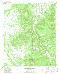
1981 Map of Largo Mesa
USGS Topo · Published 1981About this map
Apache National Forest dominates this landscape in Catron County, defined by the expansive high-ground formations of Largo Mesa and Escondido Mesa. The terrain is deeply incised by drainages such as French Canyon and Leon Canyon, which feed into the central arterial of Largo Creek. A network of water management features, including Leon Tank, Telephone Tank, and North Boundary Tank, highlights the importance of water storage in this arid upland environment during the early 1980s.
Find a feature on this map
26 named features on this map. Tap any name to fly to it.
Don’t see what you’re looking for? This feature index may not catch every label — zoom into the map to look around manually.
Map Details
Editions of this 1981 Largo Mesa Map
This is the sole edition of this map. No revisions or reprints were ever made.
Other maps of this area

1954 · Saint Johns
USGS Topo · 1:250,000

1957 · Saint Johns
USGS Topo · 1:250,000

1958 · Saint Johns
USGS Topo · 1:250,000

1962 · Saint Johns
USGS Topo · 1:250,000

1967 · Quemado
USGS Topo · 1:24,000
1972 · Armstrong Canyon
USGS Topo · 1:24,000
1981 · Ponderosa Tank
USGS Topo · 1:24,000
1981 · Gallo Mountains East
USGS Topo · 1:24,000
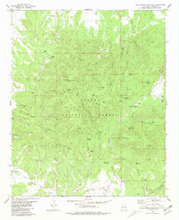
1981 · Gallo Mountains West
USGS Topo · 1:24,000
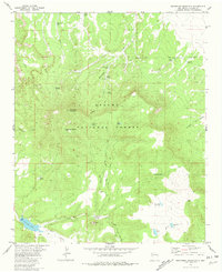
1981 · Escondido Mountain
USGS Topo · 1:24,000