
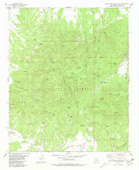
1955 Map of Red Hill
USGS Topo · Published 1956About this map
Red Lake Oil Field and the Empire Oil Field dominate this mid-century landscape of Eddy County, revealing an intensive network of energy infrastructure. The map documents a complex system of pipelines, pumping stations, and a Gas Compressor Sta that serviced the region's productive strata. This industrial footprint sits alongside traditional ranching land, most notably the Diamond A Ranch (Turkey Track) in the northeastern corner.
Find a feature on this map
21 named features on this map. Tap any name to fly to it.
Don’t see what you’re looking for? This feature index may not catch every label — zoom into the map to look around manually.
Map Details
Editions of this 1955 Red Hill Map
This is the sole edition of this map. No revisions or reprints were ever made.
Other maps of this area

1954 · Saint Johns
USGS Topo · 1:250,000

1957 · Saint Johns
USGS Topo · 1:250,000

1958 · Saint Johns
USGS Topo · 1:250,000

1962 · Saint Johns
USGS Topo · 1:250,000
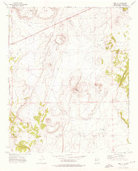
1972 · Red Hill
USGS Topo · 1:24,000

1972 · Blaines Lake
USGS Topo · 1:24,000
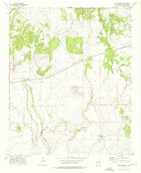
1972 · Cow Springs
USGS Topo · 1:24,000
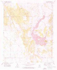
1972 · Goat Spring
USGS Topo · 1:24,000
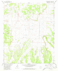
1981 · Ponderosa Tank
USGS Topo · 1:24,000
1981 · Gallo Mountains West
USGS Topo · 1:24,000