Old Maps of Dunken, New Mexico for Metal Detecting
Plan your next treasure hunt with 10 historic maps of Dunken. Find old homesites, ghost towns, trails, and gathering spots that may be lost to time — perfect for identifying promising metal detecting locations.
- Locate forgotten sites: Uncover places like long-lost settlements, abandoned rail lines, or gathering spots.
- Plan better hunts: Use map overlays combined with LiDAR or satellite views to narrow in on historically rich areas.
- Made for detectorists: Thousands of hobbyists use these maps to discover relics, coins, and hidden history.
Use these historic maps to boost your research and find new opportunities beneath the surface of Dunken.
Dunken, NM maps
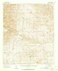
(10)- 1954 Map of Carlsbad, 1963 Print
 1954 Carlsbad1963 Print · USGSSoutheastern New Mexico's desert peaks and river valleys appear in this mid-century study of the borderlands. Researchers can locate vanished sites like Sacramento City, trace the Pecos River reservoirs, and explore Carlsbad Caverns.3 unique versions available
 - 1958 Map of Carlsbad
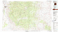
 1958 Carlsbad1958 Print · USGSSoutheastern New Mexico in the mid-1950s shows a landscape of deep desert basins and high forest ranges during a period of steady ranching and early tourism. Researchers can trace the path of the Atchison Topeka and Santa Fe railroad or find vanished locales like Sacramento City (abandoned) and Whites City.2 unique versions available
 - 1962 Map of Dunken, 1964 Print
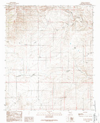
 1962 Dunken1964 Print · USGSDunken and the surrounding Chaves County ranchlands are captured here in the early sixties, as the Rio Peñasco sustained a network of remote family homesteads. Genealogists can trace property roots at the Old Higginbotham Ranch or find the community heart at Peñasco Sch and the Dunken PO.3 unique versions available
 - 1979 Map of Alamogordo
 1979 Alamogordo1979 Print · USGSThe high Sacramento Mountains and the Tularosa Valley floor meet in the late seventies, showing the region's unique mix of scientific research and military land use. Genealogists and historians can trace routes to Cloudcroft, the Solar Observatory, and the McGregor Range.
 - 1989 Map of Dunken
 1989 Dunken1989 Print · USGSIn the Chaves County high desert during the late eighties, life centered around the vital water sources of the Peñasco River valley. Genealogists and historians can trace local landmarks like Dunken, the Cem near Bluewater Creek, and the Dunken Windmill.
 - 2010 Map of Dunken, 2010 Print
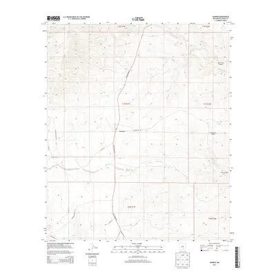
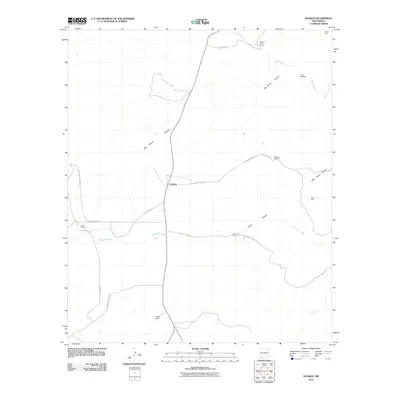 2010 Dunken2010 Print · USGSCovers Dunken, including Chaves County, United States, and other nearby areas
 - 2013 Map of Dunken, 2013 Print
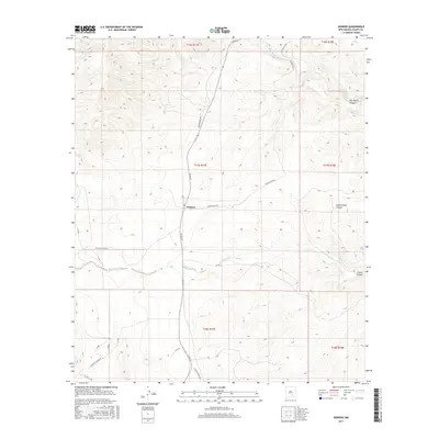
 2013 Dunken2013 Print · USGSCovers Dunken, including Chaves County, United States, and other nearby areas
 - 2017 Map of Dunken, 2017 Print
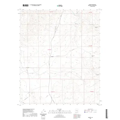
 2017 Dunken2017 Print · USGSCovers Dunken, including Chaves County, United States, and other nearby areas
 - 2020 Map of Dunken, 2020 Print
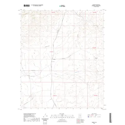
 2020 Dunken2020 Print · USGSCovers Dunken, including Chaves County, United States, and other nearby areas
 - 2023 Map of Dunken, 2023 Print
 2023 Dunken2023 Print · USGSThe ranchlands of Chaves County are mapped here in the early twenty-first century, showing a landscape defined by deep canyons and remote outposts. Genealogists and local historians can trace the geography around Dunken, the Dunken Cem, and natural landmarks like Big Cherry Canyon.
End of results
Showing maps 1-10 of 10
Frequently asked questions
- What are the different types of historical maps available for Dunken?
- What is the oldest map of Dunken?
- Where can I purchase historical maps of Dunken for my home or office?
- Where can I download high-res historical maps of Dunken?
- Are there historical topographic maps available for Dunken?
- Is there historical aerial imagery available for Dunken?
- Where are historical maps of Dunken sourced from?