Old Maps of Roswell, New Mexico
Explore 32 old maps of Roswell, spanning from 1949 to today. These high-resolution historic maps reveal how streets, neighborhoods, landmarks, and natural features evolved over time — perfect for genealogy, metal detecting, research, and local history exploration.
What you can do with these maps:
- See how Roswell changed over time: Compare historical maps to modern-day views to trace roads, homesites, rail lines & more.
- View detailed metadata: Each map includes creators, publishers, year, scale, and archive source.
- Overlay maps with satellite & LiDAR: Visualize the past alongside modern tools to explore terrain & human change.
- Trusted historical sources: Maps sourced from the USGS, Library of Congress, and other archives.
- Access maps your way: View online, download high-res files, or order prints for personal or research use.
Start exploring old maps of Roswell to uncover forgotten places, hidden landmarks, and the deep history beneath your feet.
Roswell, NM maps
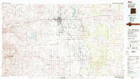
(32)- 1949 Map of Roswell North
 1949 Roswell North1949 Print · USGSPost-war Roswell was a growing aviation and educational hub at the edge of the Pecos Valley. Genealogists and local historians can trace the foundations of the city through the New Mexico Military Institute, the Poor Clares Monastery, and outlying family sites like the Forsite Homestead.
 - 1949 Map of Roswell South
 1949 Roswell South1949 Print · USGSThe southern periphery of Roswell is captured here in the late 1940s, showcasing a landscape shaped by the Rio Hondo and early ranching. Genealogists and historians can trace family landmarks like Mayes Ranch and schools like Mountain View Sch.
 - 1950 Map of South Spring
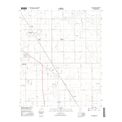
 1950 South Spring1950 Print · USGSThe Pecos River valley in the early 1950s shows a landscape transformed by the Hagerman Canal and the railroad. Genealogists can trace the rural communities of Orchard Park and Oasis, including the local Oasis Sch.
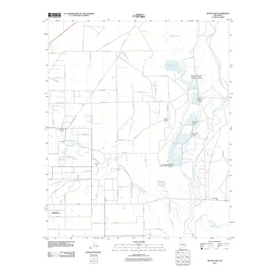
 - 1950 Map of Bitter Lake
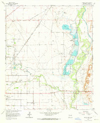
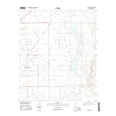
 1950 Bitter Lake1950 Print · USGSMid-century Chaves County comes to life in this survey of the Pecos River valley and its surrounding high plains. Researchers can locate the St Marys Cem, trace the Atchison Topeka and Santa Fe rail line, or explore the early grounds of the Roswell Country Club.
 - 1955 Map of Roswell, 1974 Print
 1955 Roswell1974 Print · USGSSoutheastern New Mexico is shown in transition during the mid-fifties, from the Pecos Valley ranching hubs to the high timber of the Sacramento Mountains. Researchers can trace the Atchison Topeka and Santa Fe RR through Roswell and Hagerman or locate the old barracks at Ft Stanton.3 unique versions available
 - 1958 Map of Roswell
 1958 Roswell1958 Print · USGSThe High Plains and mountain peaks of New Mexico are captured here during the mid-fifties, showing the region before the closure of Walker Air Force Base. Researchers can trace the ranching and rail landscape from Lincoln to the Pecos River valley through Hagerman and Lake Arthur.
 - 1962 Map of Roswell
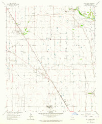
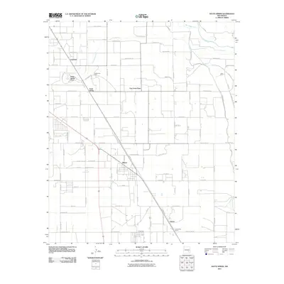
 1962 Roswell1962 Print · USGSSoutheastern New Mexico in the early sixties shows a landscape defined by high mountain peaks and a growing military presence at Roswell. Genealogists and historians can trace the roads connecting Fort Stanton, Capitan, and the Mescalero Apache Indian Reservation.
 - 1962 Map of Roswell South, 1964 Print
 1962 Roswell South1964 Print · USGSSouthern New Mexico in the early sixties reveals a landscape shaped by military aviation and family-owned ranching. Genealogists and historians can trace property boundaries of the Sacra Farm and Kerr Ranch alongside the sprawling Walker Air Force Base.2 unique versions available
 - 1962 Map of Roswell North, 1964 Print
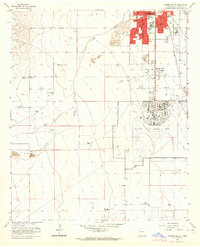
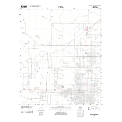
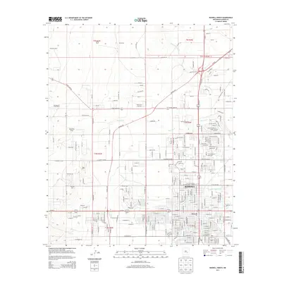
 1962 Roswell North1964 Print · USGSRoswell was evolving from a ranching hub into a modern city in the early 1960s. Genealogists and local historians can trace family-named lands like Marley Farm or locate institutional landmarks including the New Mexico Military Institute and St Marys Hospital.3 unique versions available
 - 1962 Map of South Spring, 1964 Print
 1962 South Spring1964 Print · USGSChaves County in the early sixties is captured here as a landscape of irrigation canals, military aviation, and riverside ranching. Genealogists and historians can trace the foundations of South Spring Ranch, the rail stop at Orchard Park Station, and the footprint of Walker Air Force Base.2 unique versions available
 - 1962 Map of Bitter Lake, 1964 Print
 1962 Bitter Lake1964 Print · USGSEastern Chaves County is shown in the early 1960s as the suburbs of Roswell reached toward the Pecos River wetlands. Researchers can trace the Atchison Topeka and Santa Fe rail line, the St Marys Cem, and the early South Bitter Lake Oil Field.4 unique versions available
 - 1979 Map of Roswell
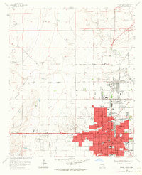
 1979 Roswell1979 Print · USGSThe Pecos River valley and the city of Roswell are shown here in the late seventies as the region balanced aviation growth with agricultural heritage. Trace the transition of local sites like Roswell Industrial Air Center and the Atchison Topeka and Santa Fe rail line.
 - 2010 Map of Bitter Lake, 2010 Print
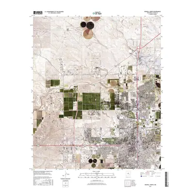
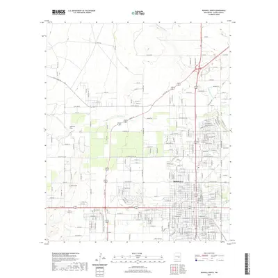
 2010 Bitter Lake2010 Print · USGSCovers Roswell, including Chaves County, United States, and other nearby areas
 - 2010 Map of Roswell North, 2010 Print
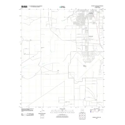
 2010 Roswell North2010 Print · USGSCovers Roswell, including Chaves County, United States, and other nearby areas
 - 2010 Map of South Spring, 2010 Print
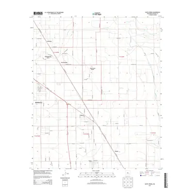
 2010 South Spring2010 Print · USGSCovers Roswell, including East Grand Plains, South Spring Acres, and other nearby areas
 - 2010 Map of Roswell South, 2010 Print
 2010 Roswell South2010 Print · USGSCovers Roswell, including Mountain View, Chaves County, and other nearby areas
 - 2013 Map of South Spring, 2013 Print
 2013 South Spring2013 Print · USGSCovers Roswell, including East Grand Plains, South Spring Acres, and other nearby areas
 - 2013 Map of Roswell South, 2013 Print
 2013 Roswell South2013 Print · USGSCovers Roswell, including Mountain View, Chaves County, and other nearby areas
 - 2013 Map of Bitter Lake, 2013 Print
 2013 Bitter Lake2013 Print · USGSCovers Roswell, including Chaves County, United States, and other nearby areas
 - 2013 Map of Roswell North, 2013 Print
 2013 Roswell North2013 Print · USGSCovers Roswell, including Chaves County, United States, and other nearby areas
 - 2017 Map of Roswell South, 2017 Print
 2017 Roswell South2017 Print · USGSCovers Roswell, including Mountain View, Chaves County, and other nearby areas
 - 2017 Map of South Spring, 2017 Print
 2017 South Spring2017 Print · USGSCovers Roswell, including East Grand Plains, South Spring Acres, and other nearby areas
 - 2017 Map of Roswell North, 2017 Print
 2017 Roswell North2017 Print · USGSCovers Roswell, including Chaves County, United States, and other nearby areas
 - 2017 Map of Bitter Lake, 2017 Print
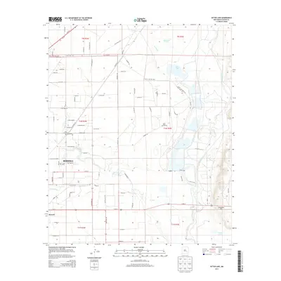
 2017 Bitter Lake2017 Print · USGSCovers Roswell, including Chaves County, United States, and other nearby areas
 - 2020 Map of Roswell North, 2020 Print
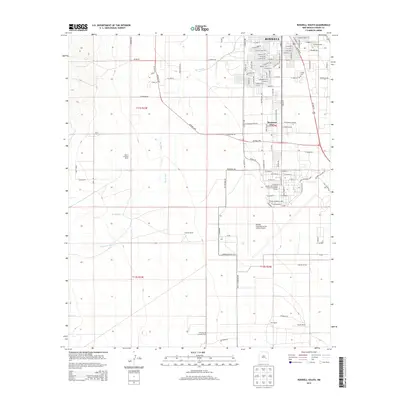
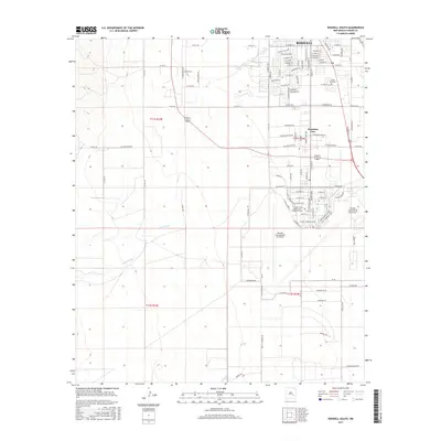
 2020 Roswell North2020 Print · USGSCovers Roswell, including Chaves County, United States, and other nearby areas
Showing maps 1-25 of 32
Top cities near Roswell
Top neighborhoods of Roswell
Frequently asked questions
- What are the different types of historical maps available for Roswell?
- What is the oldest map of Roswell?
- Where can I purchase historical maps of Roswell for my home or office?
- Where can I download high-res historical maps of Roswell?
- Are there historical topographic maps available for Roswell?
- Is there historical aerial imagery available for Roswell?
- Where are historical maps of Roswell sourced from?