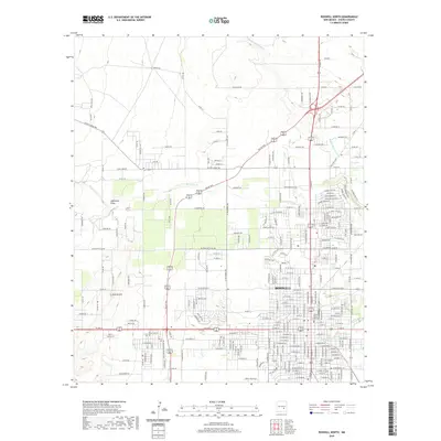
2020 Map of Roswell North
USGS Topo · Published 2020About this map
Roswell serves as the focal point of this 2020 landscape, where the urban grid meets the high plains of Chaves County. The city center is anchored by the Chaves County Courthouse and a cluster of historic congregations including St Peters Church, the First Baptist Church, and First Presbyterian Church. Education infrastructure is well-defined, with Goddard High Sch and Missouri Ave Sch serving the community.
Find a feature on this map
202 named features on this map. Tap any name to fly to it.
Don’t see what you’re looking for? This feature index may not catch every label — zoom into the map to look around manually.
Map Details
Editions of this 2020 Roswell North Map
This is the sole edition of this map. No revisions or reprints were ever made.
Other maps of this area
1949 · Hondo Reservoir
USGS Topo · 1:24,000
1949 · Roswell North
USGS Topo · 1:24,000
1949 · Roswell South
USGS Topo · 1:24,000
1949 · Corn Ranch
USGS Topo · 1:24,000
1950 · Corn Ranch
USGS Topo · 1:24,000
1950 · South Spring
USGS Topo · 1:24,000
1950 · Bitter Lake
USGS Topo · 1:24,000
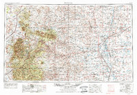
1955 · Roswell
USGS Topo · 1:250,000
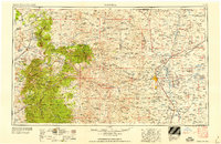
1958 · Roswell
USGS Topo · 1:250,000
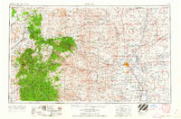
1962 · Roswell
USGS Topo · 1:250,000