
1950 Map of Bitter Lake
USGS Topo · Published 1950About this map
Bitter Lake National Wildlife Refuge serves as the focal point of this 1950 survey, where the arid New Mexico landscape meets a complex system of hydrology and conservation. The eastern portion of the map is dominated by the Pecos River and its associated alkali flats, including Bitter Lake and Lake St Francis. This area reveals a transition from natural river meanders to managed water resources, evidenced by numerous Gaging Stations, the Hondo Canal, and Garrod Dam.
Find a feature on this map
33 named features on this map. Tap any name to fly to it.
Don’t see what you’re looking for? This feature index may not catch every label — zoom into the map to look around manually.
Map Details
Editions of this 1950 Bitter Lake Map
This is the sole edition of this map. No revisions or reprints were ever made.
Other maps of this area

1949 · Roswell North
USGS Topo · 1:24,000

1949 · Roswell South
USGS Topo · 1:24,000

1950 · Comanche Spring
USGS Topo · 1:24,000

1950 · Bottomless Lakes
USGS Topo · 1:24,000

1950 · South Spring
USGS Topo · 1:24,000

1955 · Roswell
USGS Topo · 1:250,000

1958 · Roswell
USGS Topo · 1:250,000

1962 · Roswell
USGS Topo · 1:250,000
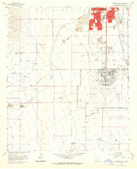
1962 · Roswell South
USGS Topo · 1:24,000
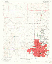
1962 · Roswell North
USGS Topo · 1:24,000