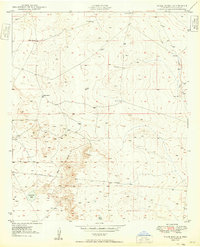
1950 Map of Bottomless Lakes
USGS Topo · Published 1950About this map
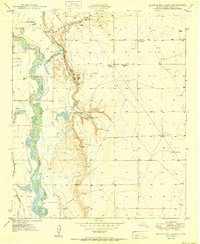
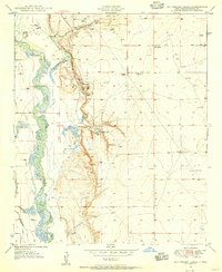
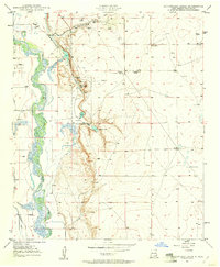
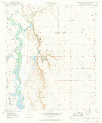
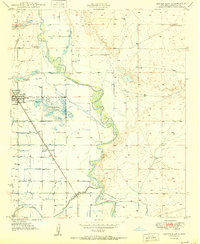
Bottomless Lakes State Park anchors this 1950 survey, showcasing a rare series of sinkhole lakes east of the Pecos River. These deep natural formations, including Mirror Lake, Inkwell Lake, and Lea Lake, were formed by the dissolution of gypsum and salt deposits by underground water, creating a stark contrast to the surrounding arid landscape. The map details the local recreational infrastructure of the era, such as the Fin and Feather Club and various springs that fed these unique water bodies.
Find a feature on this map
22 named features on this map. Tap any name to fly to it.
Don’t see what you’re looking for? This feature index may not catch every label — zoom into the map to look around manually.
Map Details
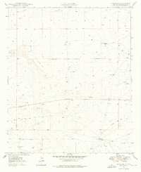
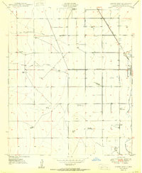
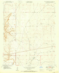
Editions of this 1950 Bottomless Lakes Map
4 editions found
Other maps of this area
1949 · Wade Ranch
USGS Topo · 1:24,000
1949 · L-E Ranch
USGS Topo · 1:24,000
1950 · Dexter West
USGS Topo · 1:24,000
1950 · Comanche Spring
USGS Topo · 1:24,000

1950 · South Spring
USGS Topo · 1:24,000

1950 · Bitter Lake
USGS Topo · 1:24,000
1950 · Dexter East
USGS Topo · 1:24,000
1952 · Bar C Bar Ranch
USGS Topo · 1:24,000

1955 · Roswell
USGS Topo · 1:250,000

1958 · Roswell
USGS Topo · 1:250,000