
1950 Map of Dexter West
USGS Topo · Published 1950About this map
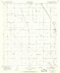
The agrarian landscape of Chaves County at the midpoint of the twentieth century is defined by its sophisticated water management and specialized aviation. Hagerman Canal and features like the Greenfield Artesian Recorder Well illustrate the vital role of irrigation in this arid environment. The presence of Bogies Cotton Gin and Twin Wells Stock Pens signals a robust ranching and agricultural economy, supported by the Atchison Topeka and Santa Fe railroad corridor passing through Dexter.
Find a feature on this map
20 named features on this map. Tap any name to fly to it.
Don’t see what you’re looking for? This feature index may not catch every label — zoom into the map to look around manually.
Map Details
Editions of this 1950 Dexter West Map
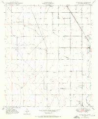
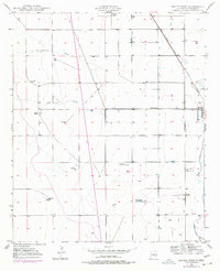
4 editions found
Other maps of this area

1949 · Peters Lake
USGS Topo · 1:24,000

1949 · Roswell South
USGS Topo · 1:24,000

1950 · Bottomless Lakes
USGS Topo · 1:24,000

1950 · South Spring
USGS Topo · 1:24,000

1950 · Dexter East
USGS Topo · 1:24,000

1951 · Hagerman
USGS Topo · 1:24,000

1952 · Hagerman SW
USGS Topo · 1:24,000

1955 · Hackberry Ranch
USGS Topo · 1:24,000

1955 · Roswell
USGS Topo · 1:250,000

1958 · Roswell
USGS Topo · 1:250,000