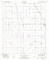
1950 Map of Dexter West
USGS Topo · Published 1977About this map
Arid grazing lands and agricultural developments define this portion of Chaves County, centered around the western outskirts of Dexter. The landscape is etched by seasonal watercourses such as Thirteenmile Draw and Zubi Draw, which historically dictated the placement of early ranching outposts. Family-held properties including the Williams Ranch, Lowe Ranch, and Kerr Bros South Ranch dominate the geography, illustrating the transition from open range to established livestock operations.
Find a feature on this map
19 named features on this map. Tap any name to fly to it.
Don’t see what you’re looking for? This feature index may not catch every label — zoom into the map to look around manually.
Map Details
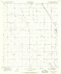
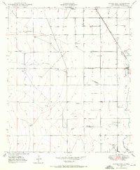
Editions of this 1950 Dexter West Map
4 editions found
Other maps of this area

1949 · Peters Lake
USGS Topo · 1:24,000

1949 · Roswell South
USGS Topo · 1:24,000

1950 · Dexter West
USGS Topo · 1:24,000

1950 · Bottomless Lakes
USGS Topo · 1:24,000

1950 · South Spring
USGS Topo · 1:24,000

1950 · Dexter East
USGS Topo · 1:24,000

1951 · Hagerman
USGS Topo · 1:24,000

1952 · Hagerman SW
USGS Topo · 1:24,000

1955 · Hackberry Ranch
USGS Topo · 1:24,000

1955 · Roswell
USGS Topo · 1:250,000