
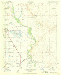
1950 Map of Dexter East
USGS Topo · Published 1950About this map
The Pecos River carves a winding path through this corner of New Mexico, defining a landscape of irrigation and agriculture at the midpoint of the century. To the west, the Hagerman Canal and an intricate network of ditches support the communities of Dexter and Greenfield. This area is characterized by its early water management infrastructure, evidenced by the Durand Reservoir (Abandoned) and the Dexter Federal Fish Hatchery, which sits adjacent to Lake Van.
Find a feature on this map
14 named features on this map. Tap any name to fly to it.
Don’t see what you’re looking for? This feature index may not catch every label — zoom into the map to look around manually.
Map Details
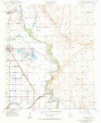
Editions of this 1950 Dexter East Map
3 editions found
Other maps of this area

1949 · Wade Ranch
USGS Topo · 1:24,000

1950 · Dexter West
USGS Topo · 1:24,000

1950 · Bottomless Lakes
USGS Topo · 1:24,000

1950 · South Spring
USGS Topo · 1:24,000

1951 · Ninemile Well
USGS Topo · 1:24,000

1951 · Hagerman
USGS Topo · 1:24,000

1952 · Bar C Bar Ranch
USGS Topo · 1:24,000

1952 · Hagerman SW
USGS Topo · 1:24,000

1955 · Roswell
USGS Topo · 1:250,000

1958 · Roswell
USGS Topo · 1:250,000