
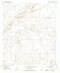
1951 Map of Ninemile Well
USGS Topo · Published 1953About this map
Isolated ranching operations and water infrastructure define this mid-century portrait of the New Mexico plains. The landscape is marked by essential landmarks for survival and livestock management, such as the namesake Ninemile Well and numerous family-named outposts including Greer Ranch, King Ranch, and Derrick Ranch. Water management is the primary human imprint on the land, evidenced by the scattered network of named wind-powered pumps like the Rattlesnake Windmill, Walker Windmill, and Haynes Windmill.
Find a feature on this map
17 named features on this map. Tap any name to fly to it.
Don’t see what you’re looking for? This feature index may not catch every label — zoom into the map to look around manually.
Map Details
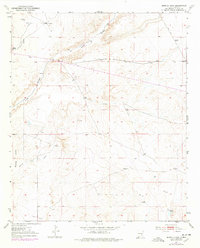
Editions of this 1951 Ninemile Well Map
3 editions found
Other maps of this area

1950 · Dexter East
USGS Topo · 1:24,000

1951 · King Camp
USGS Topo · 1:24,000

1951 · Diamond Mound
USGS Topo · 1:24,000

1951 · Hagerman
USGS Topo · 1:24,000

1952 · Connor Well
USGS Topo · 1:24,000

1952 · Bar C Bar Ranch
USGS Topo · 1:24,000

1953 · Basin Well
USGS Topo · 1:24,000

1954 · Carlsbad
USGS Topo · 1:250,000

1955 · Artesia NE
USGS Topo · 1:24,000

1955 · Roswell
USGS Topo · 1:250,000