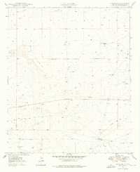
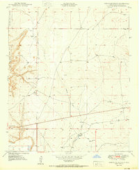
1949 Map of L-E Ranch
USGS Topo · Published 1976About this map
Mesa Diablo dominates this high-plains landscape, where the El Camino Del Diablo geologic feature cuts a prominent path through the terrain. This 1949 survey documents a sparse ranching economy in Chaves County, centered on the L-E Ranch and the nearby L-N Ranch. The distribution of water sources, from the Red Lake Tank to named landmarks like the Causy Windmill and Petty Windmill, reveals the critical infrastructure required for survival in this arid environment. Surveyed before the widespread modernization of many rural southwestern holdings, the map shows a landscape primarily defined by natural drainage systems like Arroyo Long and small-scale developments such as a Gravel Pit. The map captures the interface between geologic features and mid-century land use in a region where water management dictated the placement of every settlement and outbuilding.
Find a feature on this map
18 named features on this map. Tap any name to fly to it.
Don’t see what you’re looking for? This feature index may not catch every label — zoom into the map to look around manually.
Map Details
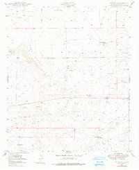
Editions of this 1949 L-E Ranch Map
2 editions found
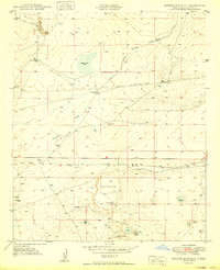
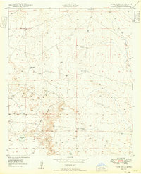
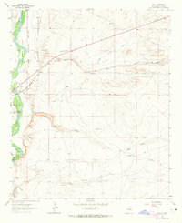
Other maps of this area
1949 · Sardine Mountain
USGS Topo · 1:24,000
1949 · Wade Ranch
USGS Topo · 1:24,000

1949 · Malstrom Ranch
USGS Topo · 1:24,000
1950 · Comanche Spring
USGS Topo · 1:24,000
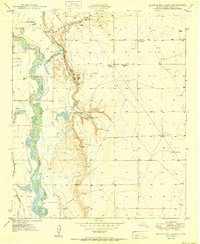
1950 · Bottomless Lakes
USGS Topo · 1:24,000

1955 · Roswell
USGS Topo · 1:250,000

1958 · Roswell
USGS Topo · 1:250,000

1962 · Roswell
USGS Topo · 1:250,000
1962 · Acme
USGS Topo · 1:24,000
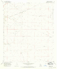
1967 · Campbell
USGS Topo · 1:24,000