
1949 Map of Sardine Mountain
USGS Topo · Published 1949About this map
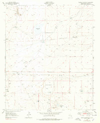
Sardine Mountain and the surrounding high desert of Chaves County are defined by a network of water improvements essential for ranching in the late 1940s. The landscape is punctuated by numerous named basins and tanks, such as the Armstrong Basin and Morning Glory Tank, which supported livestock across the L-E Ranch and Wade Ranch holdings. One of the most striking features is the Devils Race Track, a linear formation associated with a Diabase Dike that cuts across the northern terrain.
Find a feature on this map
32 named features on this map. Tap any name to fly to it.
Don’t see what you’re looking for? This feature index may not catch every label — zoom into the map to look around manually.
Map Details
Editions of this 1949 Sardine Mountain Map
2 editions found
Other maps of this area

1949 · Wade Ranch
USGS Topo · 1:24,000

1949 · Malstrom Ranch
USGS Topo · 1:24,000

1949 · L-E Ranch
USGS Topo · 1:24,000

1954 · Brownfield
USGS Topo · 1:250,000

1955 · Roswell
USGS Topo · 1:250,000

1958 · Brownfield
USGS Topo · 1:250,000

1958 · Roswell
USGS Topo · 1:250,000

1962 · Roswell
USGS Topo · 1:250,000

1962 · Brownfield
USGS Topo · 1:250,000
1967 · Campbell
USGS Topo · 1:24,000