
1950 Map of Comanche Spring
USGS Topo · Published 1950About this map
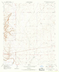
Comanche Spring and the surrounding high plains of Chaves County are documented here following a 1950 survey. The landscape is defined by the gradual descent toward the Pecos River valley to the west, visible in the western boundary of the Bitter Lake National Wildlife Refuge. This map illustrates the vital role of water management in a semi-arid environment, marked by numerous Windmills scattered across the range to support livestock. The eastern portion of the quadrangle is largely open terrain, while the topography becomes more complex around Comanche Hill. Infrastructure of the era is represented by a prominent Pipe Line cutting through the southern sections, and the drainage patterns of Comanche Draw provide a clear view of the natural hydrology that shaped local ranching routes.
Find a feature on this map
11 named features on this map. Tap any name to fly to it.
Don’t see what you’re looking for? This feature index may not catch every label — zoom into the map to look around manually.
Map Details
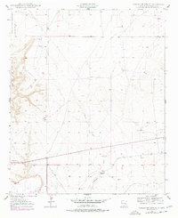
Editions of this 1950 Comanche Spring Map
Other maps of this area

1949 · Wade Ranch
USGS Topo · 1:24,000

1949 · L-E Ranch
USGS Topo · 1:24,000

1950 · Bottomless Lakes
USGS Topo · 1:24,000

1950 · South Spring
USGS Topo · 1:24,000

1950 · Bitter Lake
USGS Topo · 1:24,000

1955 · Roswell
USGS Topo · 1:250,000

1958 · Roswell
USGS Topo · 1:250,000

1962 · Roswell
USGS Topo · 1:250,000
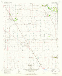
1962 · South Spring
USGS Topo · 1:24,000
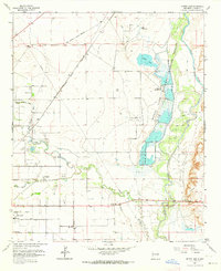
1962 · Bitter Lake
USGS Topo · 1:24,000