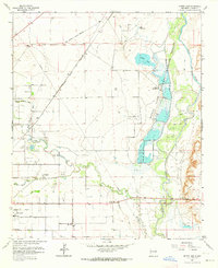
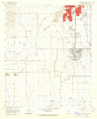
1962 Map of Bitter Lake
USGS Topo · Published 1964About this map
The Bitter Lake National Wildlife Refuge dominates this 1962 landscape, preserving a complex wetland system along the Pecos River corridor. The map details a unique intersection of conservation and industry, where the South Bitter Lake Oil Field and numerous oil wells sit adjacent to protected waters like Lake St Francis and Bitter Lake. To the west, the suburban expansion of Roswell is visible, including the Roswell Country Club and neighborhood streets such as Alameda Street and Bland Street.
Find a feature on this map
43 named features on this map. Tap any name to fly to it.
Don’t see what you’re looking for? This feature index may not catch every label — zoom into the map to look around manually.
Map Details
Editions of this 1962 Bitter Lake Map
4 editions found
Other maps of this area

1949 · Roswell North
USGS Topo · 1:24,000

1949 · Roswell South
USGS Topo · 1:24,000

1950 · Comanche Spring
USGS Topo · 1:24,000

1950 · Bottomless Lakes
USGS Topo · 1:24,000

1950 · South Spring
USGS Topo · 1:24,000

1950 · Bitter Lake
USGS Topo · 1:24,000

1955 · Roswell
USGS Topo · 1:250,000

1958 · Roswell
USGS Topo · 1:250,000

1962 · Roswell
USGS Topo · 1:250,000
1962 · Roswell South
USGS Topo · 1:24,000