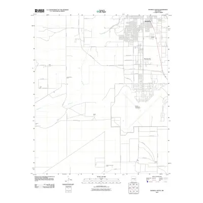
2010 Map of Roswell South
USGS Topo · Published 2010About this map
Roswell expands southward into the Chaves County plains on this 2010 topographic record, where the transition from urban streets to sprawling ranchland is clearly defined. The northern portion of the sheet is dominated by the residential grid of Mountain View and the extensive grounds of the South Park Cemetery. Further south, the landscape is shaped by the expansive Roswell Industrial Air Center Airport, a massive facility that reflects the region's aviation and economic infrastructure.
Find a feature on this map
59 named features on this map. Tap any name to fly to it.
Don’t see what you’re looking for? This feature index may not catch every label — zoom into the map to look around manually.
Map Details
Editions of this 2010 Roswell South Map
This is the sole edition of this map. No revisions or reprints were ever made.
Other maps of this area

1949 · Hondo Reservoir
USGS Topo · 1:24,000

1949 · Peters Lake
USGS Topo · 1:24,000

1949 · Roswell North
USGS Topo · 1:24,000

1949 · Roswell South
USGS Topo · 1:24,000

1949 · Juan Lake
USGS Topo · 1:24,000

1949 · Corn Ranch
USGS Topo · 1:24,000

1950 · Dexter West
USGS Topo · 1:24,000

1950 · Corn Ranch
USGS Topo · 1:24,000

1950 · South Spring
USGS Topo · 1:24,000

1950 · Bitter Lake
USGS Topo · 1:24,000