Old Maps of Yankee, New Mexico for Hiking & Exploration
Hike through history with 11 historic maps of Yankee. Explore old trails, ghost towns, and forgotten backroads — perfect for outdoor adventurers and local explorers.
- Rediscover forgotten places: Map out old mining camps, roads, and footpaths that no longer exist on modern maps.
- Layer with modern tools: Combine with LiDAR or satellite views to plan hikes through historical terrain.
- Made for exploration: Popular among hikers, overlanders, and local history lovers.
Use these maps to find adventure and explore the hidden past of Yankee.
Yankee, NM maps
(11)- 1912 Map of Raton, 1958 Print
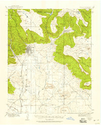 1912 Raton1958 Print · USGSRaton and the high mesas of the Colorado-New Mexico border are captured here just as the railroad era reached its peak. Researchers can trace the early industrial landscape of coal towns like Gardiner and Blossburg or locate the historic Clifton House and Raton Tunnel.2 unique versions available
 - 1914 Map of Raton
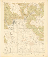 1914 Raton1914 Print · USGSRaton served as a vital mountain gateway during the early twentieth century as railroads and early highways crested the Colorado border. Researchers can trace the industrial spurs of the Wagon Mine or locate vanished stops like Blossburg, Gardiner, and Clifton House.5 unique versions available
 - 1954 Map of Raton, 1963 Print
 1954 Raton1963 Print · USGSNorthern New Mexico's high-country and plains are documented here in the early sixties, showing the region's ranching and mining infrastructure. Trace the legacy of the Maxwell Land Grant, locate remote rural sites like Tafoya School, and follow the Atchison Topeka and Santa Fe Railway through the heart of Raton.3 unique versions available
 - 1958 Map of Raton
 1958 Raton1958 Print · USGSNorthern New Mexico and the Colorado borderlands are mapped here in the late fifties, showcasing a landscape of high peaks and historic land grants. Genealogists and historians can trace families across Picuris Pueblo, find old schoolhouses like Piedra Lumbre School, or follow the Atchison Topeka and Santa Fe rail line.3 unique versions available
 - 1971 Map of Yankee, 1974 Print
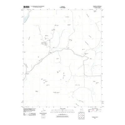
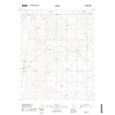
 1971 Yankee1974 Print · USGSThe high mesas of the New Mexico and Colorado border come into focus in the early 1970s, showing a landscape shaped by mining and cattle ranching. Genealogists and historians can trace the Old Railroad Grade near Carisbrook or locate the mountain settlement of Yankee.
 - 1981 Map of Raton
 1981 Raton1981 Print · USGSNorthern New Mexico's high mesas and mining corridors are preserved here as they appeared in the early eighties. Genealogists and historians can trace the transit networks of the Santa Fe Trail and find company towns like Van Houten and Koehler.
 - 2010 Map of Yankee, 2010 Print
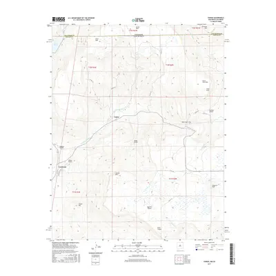
 2010 Yankee2010 Print · USGSCovers Yankee, including Carisbrook, Las Animas County, and other nearby areas
 - 2013 Map of Yankee, 2013 Print
 2013 Yankee2013 Print · USGSCovers Yankee, including Carisbrook, Las Animas County, and other nearby areas
 - 2017 Map of Yankee, 2017 Print
 2017 Yankee2017 Print · USGSCovers Yankee, including Carisbrook, Las Animas County, and other nearby areas
 - 2020 Map of Yankee, 2020 Print
 2020 Yankee2020 Print · USGSCovers Yankee, including Carisbrook, Las Animas County, and other nearby areas
 - 2023 Map of Yankee, 2023 Print
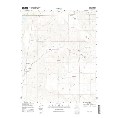
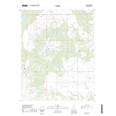 2023 Yankee2023 Print · USGSThe Colorado and New Mexico state line cuts across this high-mesa landscape near the turn of the twenty-first century. Researchers can trace the drainage of East Fork Chicorica Creek and locate historic points like Yankee, Carisbrook, and Lake Maloya.
End of results
Showing maps 1-11 of 11
Top cities near Yankee
Frequently asked questions
- What are the different types of historical maps available for Yankee?
- What is the oldest map of Yankee?
- Where can I purchase historical maps of Yankee for my home or office?
- Where can I download high-res historical maps of Yankee?
- Are there historical topographic maps available for Yankee?
- Is there historical aerial imagery available for Yankee?
- Where are historical maps of Yankee sourced from?