Old Maps of Lake Sumner, New Mexico
Explore 33 old maps of Lake Sumner, spanning from 1954 to today. These high-resolution historic maps reveal how streets, neighborhoods, landmarks, and natural features evolved over time — perfect for genealogy, metal detecting, research, and local history exploration.
What you can do with these maps:
- See how Lake Sumner changed over time: Compare historical maps to modern-day views to trace roads, homesites, rail lines & more.
- View detailed metadata: Each map includes creators, publishers, year, scale, and archive source.
- Overlay maps with satellite & LiDAR: Visualize the past alongside modern tools to explore terrain & human change.
- Trusted historical sources: Maps sourced from the USGS, Library of Congress, and other archives.
- Access maps your way: View online, download high-res files, or order prints for personal or research use.
Start exploring old maps of Lake Sumner to uncover forgotten places, hidden landmarks, and the deep history beneath your feet.
Lake Sumner, NM maps
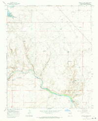
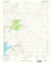
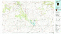
(33)- 1954 Map of Fort Sumner, 1964 Print
 1954 Fort Sumner1964 Print · USGSEast-central New Mexico's ranching and rail heartland is captured here in the mid-1950s, centered on the strategic junctions of the high plains. Researchers can trace the development of early highway networks and rail towns like Vaughn, Fort Sumner, and the copper operations at Guadalupe Mine.3 unique versions available
 - 1958 Map of Fort Sumner
 1958 Fort Sumner1958 Print · USGSEast-central New Mexico in the mid-fifties is captured here as a sprawling landscape of high mesas and cattle ranching. Researchers can trace the convergence of the Southern Pacific railroad at Vaughn and locate family landmarks like Borica School or Marquez Ranch.
 - 1965 Map of Windmill Draw, 1969 Print
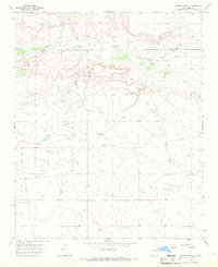
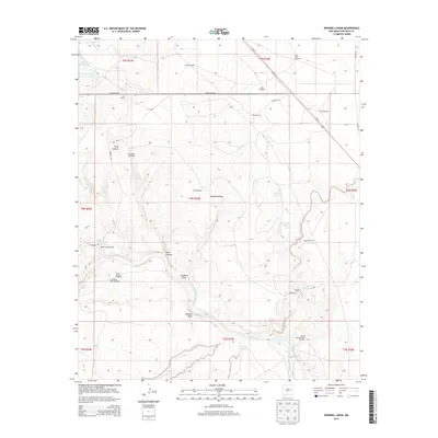
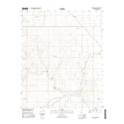
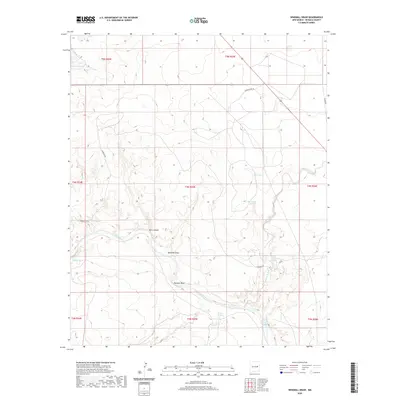
 1965 Windmill Draw1969 Print · USGSDe Baca County ranchlands and river systems are documented here in the mid-1960s, showing the critical infrastructure of the Pecos River valley. Genealogists and historians can trace family holdings like York Ranch and Brassel Ranch alongside the Fort Sumner Diversion Dam.2 unique versions available
 - 1966 Map of Gibbons Ranch, 1968 Print
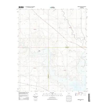
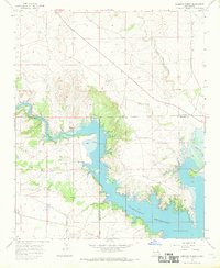 1966 Gibbons Ranch1968 Print · USGSThe Pecos River valley and the emerging Alamogordo Reservoir define the landscape of eastern New Mexico in the mid-1960s. Researchers can trace ranching history at Gibbons Ranch and Los Ojitos, or locate early habitation sites marked by ruins.2 unique versions available
 - 1966 Map of Alamogordo Dam, 1969 Print
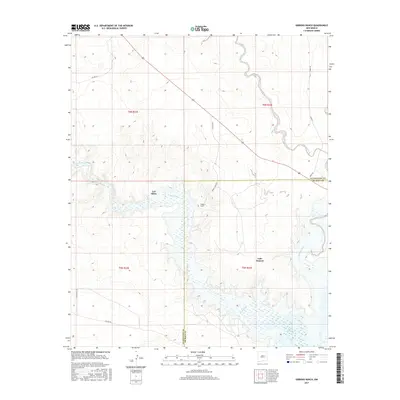
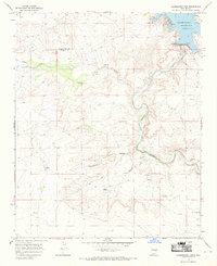 1966 Alamogordo Dam1969 Print · USGSDe Baca and Guadalupe counties are captured in the mid-1960s as the Pecos River corridor supported both recreation and ranching. Researchers can trace historic ranch footprints at Koontz Ranch, find remote burial sites like Guadalupe Cem, and locate numerous windmills across the plains.2 unique versions available
 - 1966 Map of Cooper Ranch, 1969 Print
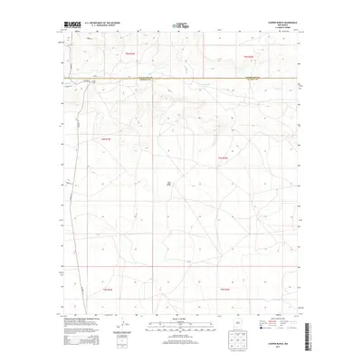
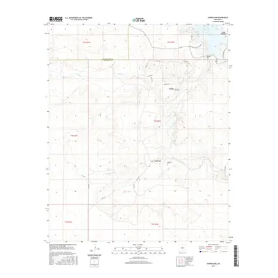
 1966 Cooper Ranch1969 Print · USGSThe high plains of De Baca and Guadalupe counties are documented here in the mid-1960s, a time of quiet cattle ranching and scattered outposts. Researchers can trace land use through features like the Cooper Ranch, the Upper Wagon Windmill, and a remote Cem near the creek.2 unique versions available
 - 1966 Map of Colorado Canyon, 1969 Print
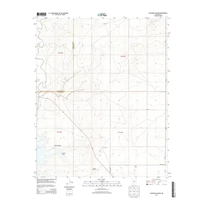
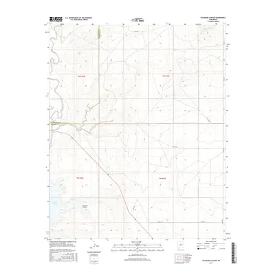
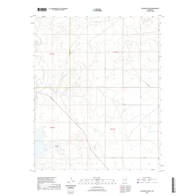
 1966 Colorado Canyon1969 Print · USGSDe Baca and Guadalupe counties appear here in the mid-1960s, a period of ranching and water management on the high plains. Researchers can locate family landmarks like McRee Ranch and Head Ranch or trace the early shoreline of Alamogordo Reservoir.2 unique versions available
 - 1984 Map of Santa Rosa, 1992 Print
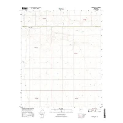
 1984 Santa Rosa1992 Print · USGSEast-central New Mexico is captured here in the mid-1980s, centered on the strategic river crossing at Santa Rosa. Researchers can trace family-named landforms and small outposts like Puerto de Luna, Pastura, and the varied arroyos feeding into Lake Sumner.
 - 2010 Map of Cooper Ranch, 2010 Print
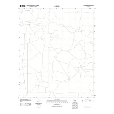 2010 Cooper Ranch2010 Print · USGSCovers Lake Sumner, including Guadalupe County, De Baca County, and other nearby areas
 - 2010 Map of Gibbons Ranch, 2010 Print
 2010 Gibbons Ranch2010 Print · USGSCovers Lake Sumner, including Los Ojitos, Guadalupe County, and other nearby areas
 - 2010 Map of Sumner Dam, 2010 Print
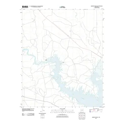
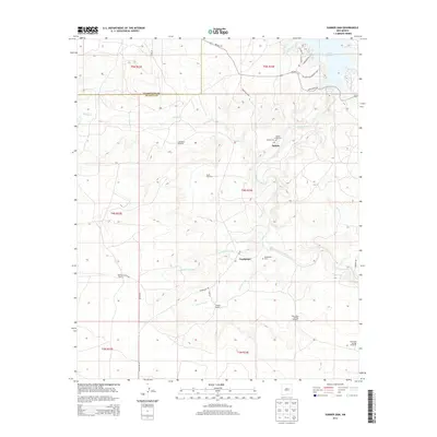
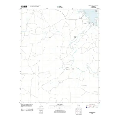 2010 Sumner Dam2010 Print · USGSCovers Lake Sumner, including Guadalupe, Salado, and other nearby areas
 - 2010 Map of Windmill Draw, 2010 Print
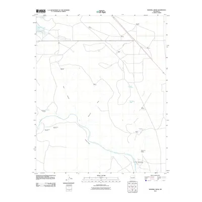 2010 Windmill Draw2010 Print · USGSCovers Lake Sumner, including De Baca County, United States, and other nearby areas
 - 2010 Map of Colorado Canyon, 2010 Print
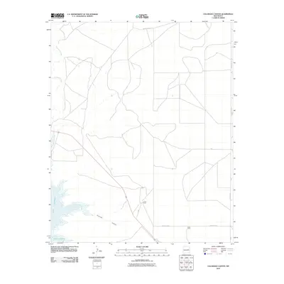 2010 Colorado Canyon2010 Print · USGSCovers Lake Sumner, including Guadalupe County, De Baca County, and other nearby areas
 - 2013 Map of Cooper Ranch, 2013 Print
 2013 Cooper Ranch2013 Print · USGSCovers Lake Sumner, including Guadalupe County, De Baca County, and other nearby areas
 - 2013 Map of Sumner Dam, 2013 Print
 2013 Sumner Dam2013 Print · USGSCovers Lake Sumner, including Guadalupe, Salado, and other nearby areas
 - 2013 Map of Colorado Canyon, 2013 Print
 2013 Colorado Canyon2013 Print · USGSCovers Lake Sumner, including Guadalupe County, De Baca County, and other nearby areas
 - 2013 Map of Gibbons Ranch, 2013 Print
 2013 Gibbons Ranch2013 Print · USGSCovers Lake Sumner, including Los Ojitos, Guadalupe County, and other nearby areas
 - 2013 Map of Windmill Draw, 2013 Print
 2013 Windmill Draw2013 Print · USGSCovers Lake Sumner, including De Baca County, United States, and other nearby areas
 - 2017 Map of Cooper Ranch, 2017 Print
 2017 Cooper Ranch2017 Print · USGSCovers Lake Sumner, including Guadalupe County, De Baca County, and other nearby areas
 - 2017 Map of Windmill Draw, 2017 Print
 2017 Windmill Draw2017 Print · USGSCovers Lake Sumner, including De Baca County, United States, and other nearby areas
 - 2017 Map of Gibbons Ranch, 2017 Print
 2017 Gibbons Ranch2017 Print · USGSCovers Lake Sumner, including Los Ojitos, Guadalupe County, and other nearby areas
 - 2017 Map of Colorado Canyon, 2017 Print
 2017 Colorado Canyon2017 Print · USGSCovers Lake Sumner, including Guadalupe County, De Baca County, and other nearby areas
 - 2017 Map of Sumner Dam, 2017 Print
 2017 Sumner Dam2017 Print · USGSCovers Lake Sumner, including Guadalupe, Salado, and other nearby areas
 - 2020 Map of Windmill Draw, 2020 Print
 2020 Windmill Draw2020 Print · USGSCovers Lake Sumner, including De Baca County, United States, and other nearby areas
 - 2020 Map of Colorado Canyon, 2020 Print
 2020 Colorado Canyon2020 Print · USGSCovers Lake Sumner, including Guadalupe County, De Baca County, and other nearby areas
Showing maps 1-25 of 33
Top cities near Lake Sumner
Top neighborhoods of Lake Sumner
Frequently asked questions
- What are the different types of historical maps available for Lake Sumner?
- What is the oldest map of Lake Sumner?
- Where can I purchase historical maps of Lake Sumner for my home or office?
- Where can I download high-res historical maps of Lake Sumner?
- Are there historical topographic maps available for Lake Sumner?
- Is there historical aerial imagery available for Lake Sumner?
- Where are historical maps of Lake Sumner sourced from?