2000s (21st Century) Maps of Lake Sumner, New Mexico
Explore 25 historic maps of Lake Sumner from the 2000s (21st Century). These maps offer a rare glimpse into what life looked like during the 2000s — showing old roads, neighborhoods, homes, and landmarks that have changed or disappeared over time.
Whether you're researching your family's past, planning a metal detecting trip, or studying how Lake Sumner's landscape evolved across the 2000s, these high-resolution maps are a powerful tool for exploring the history of this region.
- Focus on a specific era: All maps on this page are from the 2000s, giving you a focused view of this time period.
- See what’s changed: Compare century-old streets, trails, and buildings to today's modern landscape using overlays and satellite layers.
- Research with precision: Use these maps for genealogy, historical research, land use analysis, or educational projects.
- View, download, or print: Maps are fully viewable online in high resolution, and can be downloaded or printed for your own records.
Start exploring Lake Sumner's history through authentic maps from the 2000s. This is your window into the past.
Lake Sumner, NM maps
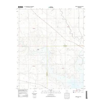
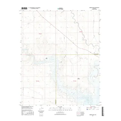
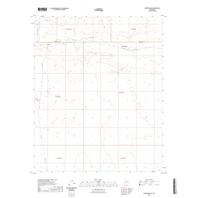
(25)- 2010 Map of Cooper Ranch, 2010 Print
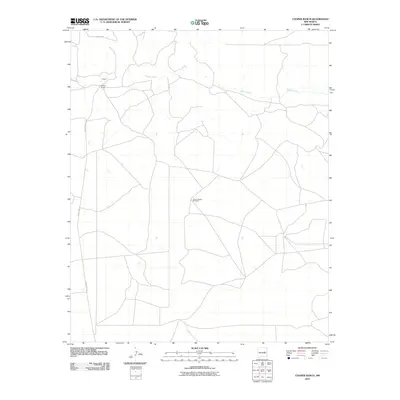 2010 Cooper Ranch2010 Print · USGSCovers Lake Sumner, including Guadalupe County, De Baca County, and other nearby areas
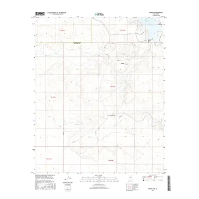
 - 2010 Map of Gibbons Ranch, 2010 Print
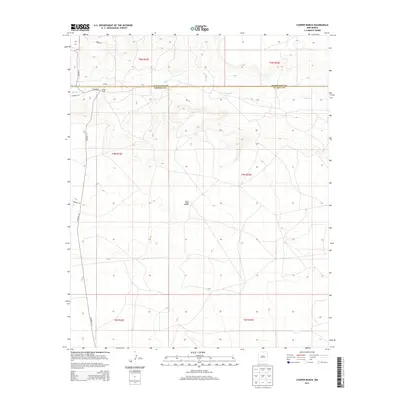
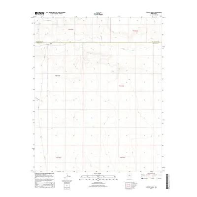
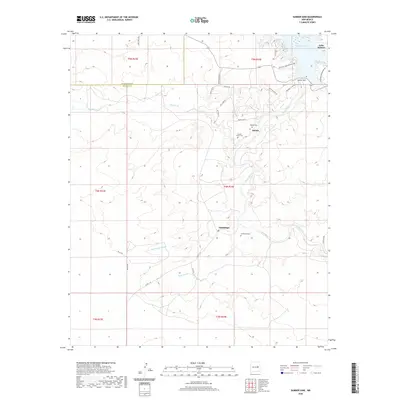
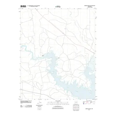 2010 Gibbons Ranch2010 Print · USGSCovers Lake Sumner, including Los Ojitos, Guadalupe County, and other nearby areas
 - 2010 Map of Sumner Dam, 2010 Print
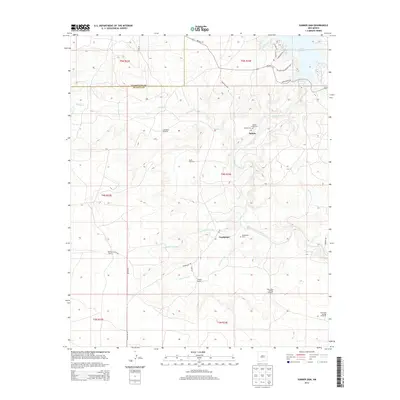
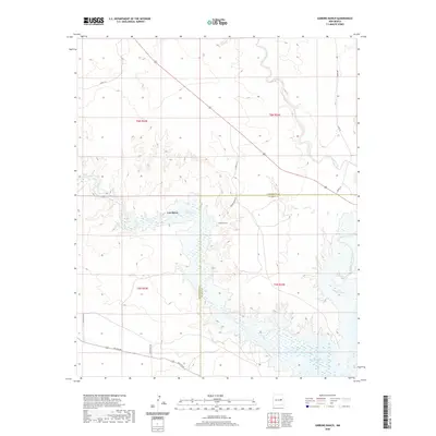
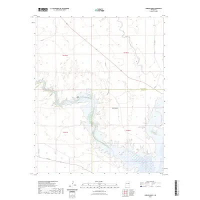
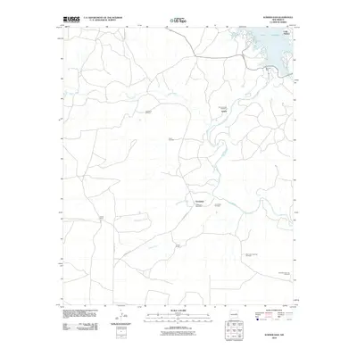 2010 Sumner Dam2010 Print · USGSCovers Lake Sumner, including Guadalupe, Salado, and other nearby areas
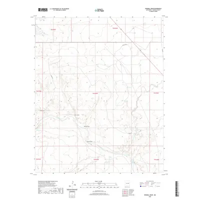
 - 2010 Map of Windmill Draw, 2010 Print
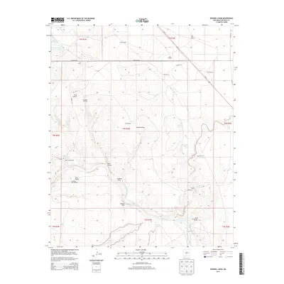
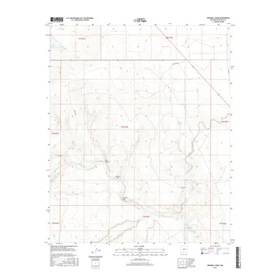
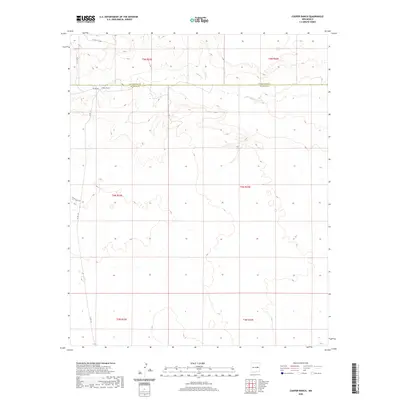
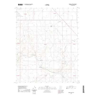
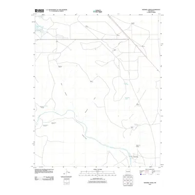 2010 Windmill Draw2010 Print · USGSCovers Lake Sumner, including De Baca County, United States, and other nearby areas
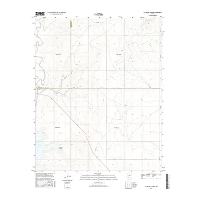
 - 2010 Map of Colorado Canyon, 2010 Print
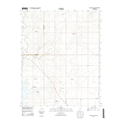
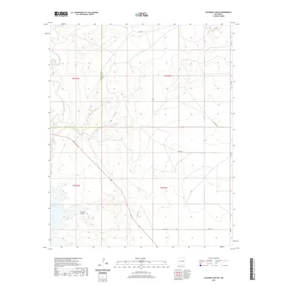
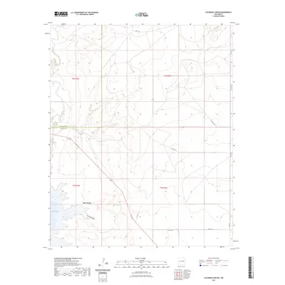
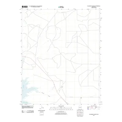 2010 Colorado Canyon2010 Print · USGSCovers Lake Sumner, including Guadalupe County, De Baca County, and other nearby areas
 - 2013 Map of Cooper Ranch, 2013 Print
 2013 Cooper Ranch2013 Print · USGSCovers Lake Sumner, including Guadalupe County, De Baca County, and other nearby areas
 - 2013 Map of Sumner Dam, 2013 Print
 2013 Sumner Dam2013 Print · USGSCovers Lake Sumner, including Guadalupe, Salado, and other nearby areas
 - 2013 Map of Colorado Canyon, 2013 Print
 2013 Colorado Canyon2013 Print · USGSCovers Lake Sumner, including Guadalupe County, De Baca County, and other nearby areas
 - 2013 Map of Gibbons Ranch, 2013 Print
 2013 Gibbons Ranch2013 Print · USGSCovers Lake Sumner, including Los Ojitos, Guadalupe County, and other nearby areas
 - 2013 Map of Windmill Draw, 2013 Print
 2013 Windmill Draw2013 Print · USGSCovers Lake Sumner, including De Baca County, United States, and other nearby areas
 - 2017 Map of Cooper Ranch, 2017 Print
 2017 Cooper Ranch2017 Print · USGSCovers Lake Sumner, including Guadalupe County, De Baca County, and other nearby areas
 - 2017 Map of Windmill Draw, 2017 Print
 2017 Windmill Draw2017 Print · USGSCovers Lake Sumner, including De Baca County, United States, and other nearby areas
 - 2017 Map of Gibbons Ranch, 2017 Print
 2017 Gibbons Ranch2017 Print · USGSCovers Lake Sumner, including Los Ojitos, Guadalupe County, and other nearby areas
 - 2017 Map of Colorado Canyon, 2017 Print
 2017 Colorado Canyon2017 Print · USGSCovers Lake Sumner, including Guadalupe County, De Baca County, and other nearby areas
 - 2017 Map of Sumner Dam, 2017 Print
 2017 Sumner Dam2017 Print · USGSCovers Lake Sumner, including Guadalupe, Salado, and other nearby areas
 - 2020 Map of Windmill Draw, 2020 Print
 2020 Windmill Draw2020 Print · USGSCovers Lake Sumner, including De Baca County, United States, and other nearby areas
 - 2020 Map of Colorado Canyon, 2020 Print
 2020 Colorado Canyon2020 Print · USGSCovers Lake Sumner, including Guadalupe County, De Baca County, and other nearby areas
 - 2020 Map of Sumner Dam, 2020 Print
 2020 Sumner Dam2020 Print · USGSCovers Lake Sumner, including Guadalupe, Salado, and other nearby areas
 - 2020 Map of Cooper Ranch, 2020 Print
 2020 Cooper Ranch2020 Print · USGSCovers Lake Sumner, including Guadalupe County, De Baca County, and other nearby areas
 - 2020 Map of Gibbons Ranch, 2020 Print
 2020 Gibbons Ranch2020 Print · USGSCovers Lake Sumner, including Los Ojitos, Guadalupe County, and other nearby areas
 - 2023 Map of Cooper Ranch, 2023 Print
 2023 Cooper Ranch2023 Print · USGSDe Baca and Guadalupe counties are captured in this recent survey of the eastern New Mexico ranch lands. Genealogists and land researchers can trace property boundaries along Salado Creek and follow rural routes like Shady Rock Rd near Lake Sumner.
 - 2023 Map of Windmill Draw, 2023 Print
 2023 Windmill Draw2023 Print · USGSDe Baca County ranch land is captured in the early 2020s, centered on the vital waters of the Pecos River and Lake Sumner. Researchers can trace the importance of desert water sources at Arenosa Spring, Old Water Hole, and James Spring.
 - 2023 Map of Colorado Canyon, 2023 Print
 2023 Colorado Canyon2023 Print · USGSDe Baca and Guadalupe counties meet at the edge of the plains in this recent survey. Researchers can trace the rugged shoreline of Lake Sumner and the winding path of Alamogordo Creek near Colorado Canyon.
 - 2023 Map of Gibbons Ranch, 2023 Print
 2023 Gibbons Ranch2023 Print · USGSEastern New Mexico's ranchlands meet the waters of the Pecos River in this modern survey of the Guadalupe and De Baca county line. Genealogists and local historians can trace the landscape around Los Ojitos and the northern shoreline of Lake Sumner.
 - 2023 Map of Sumner Dam, 2023 Print
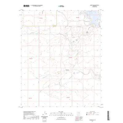 2023 Sumner Dam2023 Print · USGSIn the arid landscape of De Baca County during the early 2020s, the Pecos River valley supports a sparse network of ranching and recreation. Researchers can locate the Salado Creek Cem, the settlement of Guadalupe, and trails near Lake Sumner.
End of results
Showing maps 1-25 of 25
Top cities near Lake Sumner
Top neighborhoods of Lake Sumner
Frequently asked questions
- What are the different types of historical maps available for Lake Sumner?
- What is the oldest map of Lake Sumner?
- Where can I purchase historical maps of Lake Sumner for my home or office?
- Where can I download high-res historical maps of Lake Sumner?
- Are there historical topographic maps available for Lake Sumner?
- Is there historical aerial imagery available for Lake Sumner?
- Where are historical maps of Lake Sumner sourced from?