Old Maps of Newkirk, New Mexico for Academic Research
Study the evolution of Newkirk with 8 high-resolution historic maps. Whether you're teaching, researching, or modeling changes in land use, these maps provide essential visual documentation of urban, environmental, and geographic change.
- Analyze long-term change: Track patterns in development, transportation, and natural features.
- Ideal for environmental or urban studies: Support academic projects with primary historical map data.
- Use in the classroom or lab: Educators and researchers rely on these maps to bring historical context to life.
These maps are a powerful tool for teaching, research, and visualizing how Newkirk has changed over the decades.
Newkirk, NM maps
(8)- 1954 Map of Santa Fe, 1963 Print
 1954 Santa Fe1963 Print · USGSNew Mexico's high mountains and eastern plains meet in the mid-fifties, showing a landscape defined by the Sangre de Cristo Mountains and the Pecos River. Trace family roots and local history through San Christobal Church, Sena School, and the historic Las Vegas rail corridor.4 unique versions available
 - 1958 Map of Santa Fe
 1958 Santa Fe1958 Print · USGSThe Sangre De Cristo Mountains meet the high plains in the late 1950s, showing a landscape defined by rail corridors and ranching. Genealogists can trace family-named sites like Upton Ranch or visit the Fort Union (Ruins) and Tuloso School.
 - 1964 Map of Newkirk, 1967 Print
 1964 Newkirk1967 Print · USGSNewkirk and the surrounding Guadalupe County range land are shown here in the mid-1960s at a key railroad junction. Genealogists and historians can trace the intersection of the Southern Pacific railroad, the Newkirk Cem, and the remote Boylan Ranch.
 - 2010 Map of Newkirk, 2010 Print
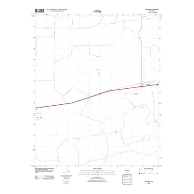 2010 Newkirk2010 Print · USGSNewkirk and its surrounding mesa country are captured here during the first decade of the millennium. Genealogists and local historians can locate Newkirk Cemetery, Boylan Ranch, and the Newkirk Post Office set against the backdrop of Pajarito Creek.
 - 2013 Map of Newkirk, 2013 Print
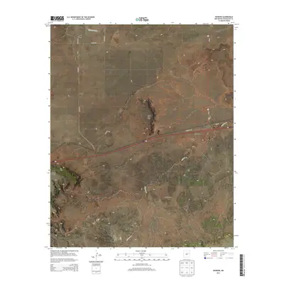 2013 Newkirk2013 Print · USGSNewkirk and the surrounding Guadalupe County plains are captured in this recent survey of eastern New Mexico. Genealogists and local historians can locate the Newkirk Cem, the PO, and ranching landmarks like Boylan Ranch or Blakey.
 - 2017 Map of Newkirk, 2017 Print
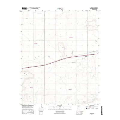 2017 Newkirk2017 Print · USGSNewkirk and its surroundings in the early twenty-first century are defined by the crossroads of interstate travel and cattle-country tradition. Genealogists and historians can trace local family footprints at Newkirk Cem or follow the paths of Pedro Romero Rd and Gilbert Sena Rd.
 - 2020 Map of Newkirk, 2020 Print
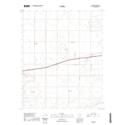 2020 Newkirk2020 Print · USGSNewkirk and its surrounding ranchlands are captured here in 2020, where the high-desert terrain meets the historic corridor of the Southwest. Researchers can locate the Newkirk Cem and trace seasonal waterways like Pajarito Cr and Difrises Arroyo.
 - 2023 Map of Newkirk, 2023 Print
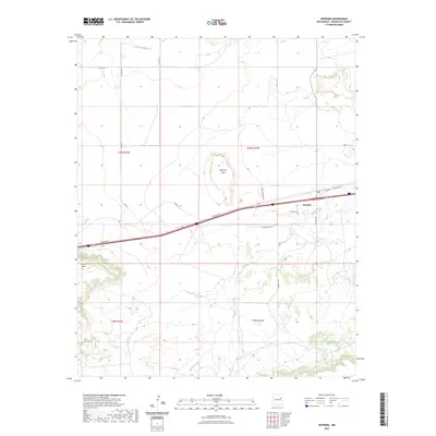 2023 Newkirk2023 Print · USGSNewkirk and the surrounding Guadalupe County high country are captured here in the early twenty-first century. Genealogists and local historians can trace family-named roads and landmarks like Newkirk Cem, Pedro Romero Rd, and the distinct Mesa del Gato.
End of results
Showing maps 1-8 of 8
Frequently asked questions
- What are the different types of historical maps available for Newkirk?
- What is the oldest map of Newkirk?
- Where can I purchase historical maps of Newkirk for my home or office?
- Where can I download high-res historical maps of Newkirk?
- Are there historical topographic maps available for Newkirk?
- Is there historical aerial imagery available for Newkirk?
- Where are historical maps of Newkirk sourced from?