Old Maps of Santa Rosa, New Mexico for Genealogy
Trace your family roots with 9 historic maps of Santa Rosa. These high-res maps reveal old neighborhoods, homesites, landmarks, and streets — helping you uncover where your ancestors lived and how the area evolved over time.
- Explore historic neighborhoods: Identify where your relatives may have lived in the 1800s or 1900s.
- Compare maps over time: Trace the changes in streets, buildings, and landmarks for multi-generational research.
- Perfect for genealogy & ancestry research: Used by family historians and researchers to map out lineage and migration.
These maps are an incredible resource for exploring your personal connection to Santa Rosa's past.
Santa Rosa, NM maps
(9)- 1954 Map of Fort Sumner, 1964 Print
 1954 Fort Sumner1964 Print · USGSEast-central New Mexico's ranching and rail heartland is captured here in the mid-1950s, centered on the strategic junctions of the high plains. Researchers can trace the development of early highway networks and rail towns like Vaughn, Fort Sumner, and the copper operations at Guadalupe Mine.3 unique versions available
 - 1958 Map of Fort Sumner
 1958 Fort Sumner1958 Print · USGSEast-central New Mexico in the mid-fifties is captured here as a sprawling landscape of high mesas and cattle ranching. Researchers can trace the convergence of the Southern Pacific railroad at Vaughn and locate family landmarks like Borica School or Marquez Ranch.
 - 1963 Map of Santa Rosa, 1965 Print
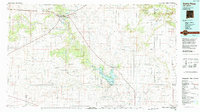
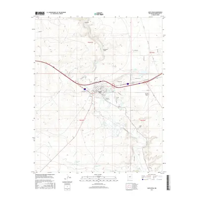
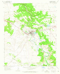 1963 Santa Rosa1965 Print · USGSSanta Rosa and the surrounding Pecos River valley are captured here in the early sixties, showing a landscape defined by historic water rights and rail transport. Researchers can trace the town’s development via the Southern Pacific tracks and locate several community landmarks including Blue Hole and St Rose of Lima Cem.2 unique versions available
 - 1984 Map of Santa Rosa, 1992 Print
 1984 Santa Rosa1992 Print · USGSEast-central New Mexico is captured here in the mid-1980s, centered on the strategic river crossing at Santa Rosa. Researchers can trace family-named landforms and small outposts like Puerto de Luna, Pastura, and the varied arroyos feeding into Lake Sumner.
 - 2010 Map of Santa Rosa, 2010 Print
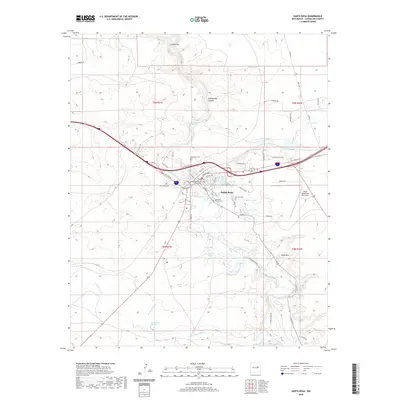
 2010 Santa Rosa2010 Print · USGSCovers Santa Rosa, including Guadalupe County, United States, and other nearby areas
 - 2013 Map of Santa Rosa, 2013 Print
 2013 Santa Rosa2013 Print · USGSCovers Santa Rosa, including Guadalupe County, United States, and other nearby areas
 - 2017 Map of Santa Rosa, 2017 Print
 2017 Santa Rosa2017 Print · USGSCovers Santa Rosa, including Guadalupe County, United States, and other nearby areas
 - 2020 Map of Santa Rosa, 2020 Print
 2020 Santa Rosa2020 Print · USGSCovers Santa Rosa, including Guadalupe County, United States, and other nearby areas
 - 2023 Map of Santa Rosa, 2023 Print
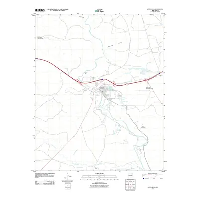
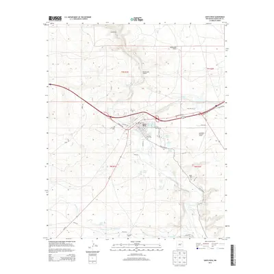
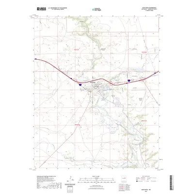 2023 Santa Rosa2023 Print · USGSSanta Rosa and the winding Pecos River valley are shown in this contemporary study of Guadalupe County’s geographic and civic heart. Researchers can trace the town’s heritage through several local landmarks like Saint Rose of Lima Cem, the Guadalupe County Courthouse, and the famous Blue Hole.
End of results
Showing maps 1-9 of 9
Frequently asked questions
- What are the different types of historical maps available for Santa Rosa?
- What is the oldest map of Santa Rosa?
- Where can I purchase historical maps of Santa Rosa for my home or office?
- Where can I download high-res historical maps of Santa Rosa?
- Are there historical topographic maps available for Santa Rosa?
- Is there historical aerial imagery available for Santa Rosa?
- Where are historical maps of Santa Rosa sourced from?