Old Maps of Upper Dilia, New Mexico for Hiking & Exploration
Hike through history with 12 historic maps of Upper Dilia. Explore old trails, ghost towns, and forgotten backroads — perfect for outdoor adventurers and local explorers.
- Rediscover forgotten places: Map out old mining camps, roads, and footpaths that no longer exist on modern maps.
- Layer with modern tools: Combine with LiDAR or satellite views to plan hikes through historical terrain.
- Made for exploration: Popular among hikers, overlanders, and local history lovers.
Use these maps to find adventure and explore the hidden past of Upper Dilia.
Upper Dilia, NM maps
(12)- 1890 Map of Bernal, 1956 Print
 1890 Bernal1956 Print · USGSSettlements along the Pecos River valley and the critical rail corridor of the late nineteenth century define this New Mexico landscape. Researchers can trace the early rail stops and traditional plazas of San Miguel, Old Bernal, and Anton Chico.
 - 1891 Map of Bernal
 1891 Bernal1891 Print · USGSNorthern New Mexico's river valleys and mesa lands are captured here just as the railroad began transforming the territory's commerce. Genealogists can trace family roots in historic plazas like San Miguel, La Cuesta, and San Jose before modern development changed these rural corridors.
 - 1894 Map of Bernal
 1894 Bernal1894 Print · USGSSan Miguel County at the end of the nineteenth century is captured here as the railroad began to reshape the old river settlements. Genealogists can trace family roots in historic villages like Old Bernal, Anton Chico, and La Liendre.4 unique versions available
 - 1954 Map of Santa Fe, 1963 Print
 1954 Santa Fe1963 Print · USGSNew Mexico's high mountains and eastern plains meet in the mid-fifties, showing a landscape defined by the Sangre de Cristo Mountains and the Pecos River. Trace family roots and local history through San Christobal Church, Sena School, and the historic Las Vegas rail corridor.4 unique versions available
 - 1958 Map of Santa Fe
 1958 Santa Fe1958 Print · USGSThe Sangre De Cristo Mountains meet the high plains in the late 1950s, showing a landscape defined by rail corridors and ranching. Genealogists can trace family-named sites like Upton Ranch or visit the Fort Union (Ruins) and Tuloso School.
 - 1963 Map of Dilia, 1966 Print
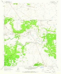 1963 Dilia1966 Print · USGSGuadalupe County in the early 1960s reveals a traditional New Mexican landscape of river-fed valleys and historic land grants. Genealogists and historians can trace the acequia irrigation systems and family-linked sites like Llano Viejo and Sacred Heart Ch.
 - 1983 Map of Villanueva, 1984 Print
 1983 Villanueva1984 Print · USGSThe Pecos River valley and its high mesa surroundings are captured here in the early eighties. Researchers can trace historic river settlements like Villanueva and Sena, the route of the Atchison Topeka and Santa Fe railroad, and the high-desert terrain of Glorieta Mesa.
 - 2010 Map of Dilia, 2010 Print
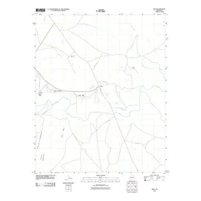 2010 Dilia2010 Print · USGSCovers Upper Dilia, including Llano Del Medio, Dilia, and other nearby areas
 - 2013 Map of Dilia, 2013 Print
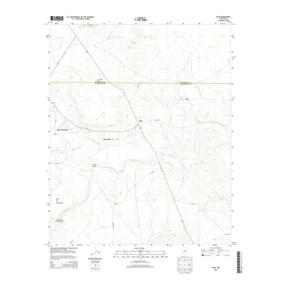 2013 Dilia2013 Print · USGSCovers Upper Dilia, including Llano Del Medio, Dilia, and other nearby areas
 - 2017 Map of Dilia, 2017 Print
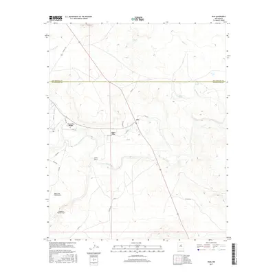 2017 Dilia2017 Print · USGSCovers Upper Dilia, including Llano Del Medio, Dilia, and other nearby areas
 - 2020 Map of Dilia, 2020 Print
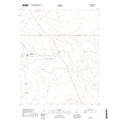 2020 Dilia2020 Print · USGSCovers Upper Dilia, including Llano Del Medio, Dilia, and other nearby areas
 - 2023 Map of Dilia, 2023 Print
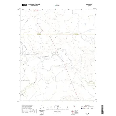 2023 Dilia2023 Print · USGSThe Pecos River valley comes into focus in this recent survey of rural New Mexico settlements and high desert terrain. Researchers can trace the layout of Dilia, Upper Dilia, and Llano del Medio alongside landmarks like the Dilia Cem and Salitre Spring.
End of results
Showing maps 1-12 of 12
Frequently asked questions
- What are the different types of historical maps available for Upper Dilia?
- What is the oldest map of Upper Dilia?
- Where can I purchase historical maps of Upper Dilia for my home or office?
- Where can I download high-res historical maps of Upper Dilia?
- Are there historical topographic maps available for Upper Dilia?
- Is there historical aerial imagery available for Upper Dilia?
- Where are historical maps of Upper Dilia sourced from?