Old Maps of Yarbrough Place, New Mexico for Metal Detecting
Plan your next treasure hunt with 13 historic maps of Yarbrough Place. Find old homesites, ghost towns, trails, and gathering spots that may be lost to time — perfect for identifying promising metal detecting locations.
- Locate forgotten sites: Uncover places like long-lost settlements, abandoned rail lines, or gathering spots.
- Plan better hunts: Use map overlays combined with LiDAR or satellite views to narrow in on historically rich areas.
- Made for detectorists: Thousands of hobbyists use these maps to discover relics, coins, and hidden history.
Use these historic maps to boost your research and find new opportunities beneath the surface of Yarbrough Place.
Yarbrough Place, NM maps
(13)- 1918 Map of Walnut Wells
 1918 Walnut Wells1918 Print · USGSCattle ranching and mining define this corner of New Mexico during the Great War era. Genealogists and historians can trace early homesteads and operations like the Walnut Wells Post Office, Gillespie Mine, and the Seven K Ranch.3 unique versions available
 - 1923 Map of Walnut Wells
 1923 Walnut Wells1923 Print · USGSHidalgo County's remote desert ranges and ranching outposts are captured here during the early statehood years. Genealogists and historians can trace family-named lands like Lawhorns Ranch and Godfrey Ranch or locate the site of the Red Hill Mine.
 - 1955 Map of Douglas
 1955 Douglas1955 Print · USGSThe Arizona and New Mexico borderlands come into focus in the mid-1950s, highlighting the mining and ranching hubs of the Desert Southwest. Genealogists and historians can trace the foundations of Bisbee, the operations at Hachita Mine, and rural landmarks like the Double Adobe School.2 unique versions available
 - 1959 Map of Douglas, 1968 Print
 1959 Douglas1968 Print · USGSSoutheast Arizona and southwest New Mexico meet at the border in the late fifties, showcasing a high-desert landscape defined by industrial copper mining and ranching. Genealogists and historians can trace the foundations of Bisbee, locate the Lavender Pit, and follow the Southern Pacific line through Douglas.4 unique versions available
 - 1961 Map of Douglas
 1961 Douglas1961 Print · USGSThe Arizona-Mexico borderlands come into focus at mid-century, detailing the vital mining and ranching hubs of Cochise County and southwest New Mexico. Genealogists and historians can trace the Southern Pacific Railroad through Bisbee and Douglas, or locate early sites like the Old Hachita Mine and Rucker School.
 - 1964 Map of Douglas
 1964 Douglas1964 Print · USGSThe Arizona-New Mexico borderlands in the early sixties reveal a landscape of deep-rooted copper mining and high-desert ranching. Genealogists and researchers can trace the legacy of settlements like Pirtleville, the industrial site of the Copper Smelter, and remnants of the Cochise Mines.
 - 1982 Map of Gillespie Mountain
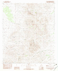 1982 Gillespie Mountain1982 Print · USGSHidalgo County's high desert peaks and mineral prospects are documented here during the early eighties. Researchers and hikers can trace the Continental Divide as it passes Gillespie Mountain and locate early industrial activity at the Open Pit Mines.
 - 1983 Map of Animas
 1983 Animas1983 Print · USGSSouthern New Mexico’s Bootheel remains a landscape of high-desert ranching and remote mining districts during the early eighties. Researchers can trace the Southern Pacific Railroad past historic hubs like Animas and Hachita or locate mining sites such as the Gillespie Mine.
 - 2010 Map of Gillespie Mountain, 2010 Print
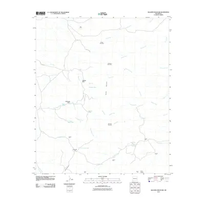 2010 Gillespie Mountain2010 Print · USGSHidalgo County ranching and mining history come to life in this early 21st-century record of the high desert. Researchers can trace the legacy of remote outposts like Upshaw Place and Godfrey Ranch or locate the historic Gillespie Mine.
 - 2013 Map of Gillespie Mountain, 2013 Print
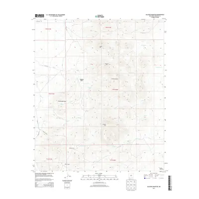 2013 Gillespie Mountain2013 Print · USGSThe Animas Mountains in the early twenty-first century reveal a landscape shaped by remote ranching and seasonal water sources. Trace family-named landmarks like Upshaw Place and Yarbrough Place alongside vital desert features like Gillespie Spring.
 - 2017 Map of Gillespie Mountain, 2017 Print
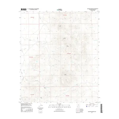 2017 Gillespie Mountain2017 Print · USGSThe Animas Mountains in southern New Mexico were mapped in detail during this 2010s survey of Hidalgo County. Researchers and explorers can trace water sources like Gillespie Spring and remote landmarks including Maverick Flat and Anderson Mtn.
 - 2020 Map of Gillespie Mountain, 2020 Print
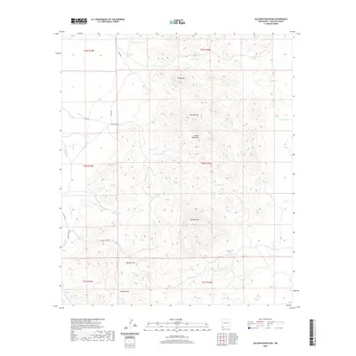 2020 Gillespie Mountain2020 Print · USGSHidalgo County's high-desert peaks and ranching outposts are documented here in the early twenty-first century. Researchers can trace remote transit routes and water infrastructure through landmarks like Godfrey Camp Rd, Gillespie Spring, and Maverick Flat.
 - 2023 Map of Gillespie Mountain, 2023 Print
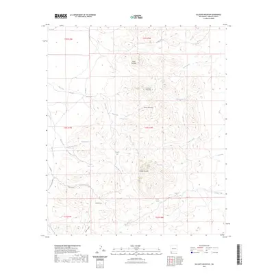 2023 Gillespie Mountain2023 Print · USGSThe Animas Mountains of Hidalgo County are documented in this recent survey, showcasing a landscape of high peaks and isolated springs. Researchers can trace land use through remote water features like Gillespie Spring and backcountry routes including Bull Creek Rd.
End of results
Showing maps 1-13 of 13
Frequently asked questions
- What are the different types of historical maps available for Yarbrough Place?
- What is the oldest map of Yarbrough Place?
- Where can I purchase historical maps of Yarbrough Place for my home or office?
- Where can I download high-res historical maps of Yarbrough Place?
- Are there historical topographic maps available for Yarbrough Place?
- Is there historical aerial imagery available for Yarbrough Place?
- Where are historical maps of Yarbrough Place sourced from?