Old Maps of Buckeye, New Mexico for Metal Detecting
Plan your next treasure hunt with 9 historic maps of Buckeye. Find old homesites, ghost towns, trails, and gathering spots that may be lost to time — perfect for identifying promising metal detecting locations.
- Locate forgotten sites: Uncover places like long-lost settlements, abandoned rail lines, or gathering spots.
- Plan better hunts: Use map overlays combined with LiDAR or satellite views to narrow in on historically rich areas.
- Made for detectorists: Thousands of hobbyists use these maps to discover relics, coins, and hidden history.
Use these historic maps to boost your research and find new opportunities beneath the surface of Buckeye.
Buckeye, NM maps
(9)- 1954 Map of Hobbs, 1963 Print
 1954 Hobbs1963 Print · USGSThe High Plains and Permian Basin transition is captured here at the height of the mid-century energy boom. Genealogists and industrial historians can trace the foundations of Humble City, locate the Potash Mine and Plant, and follow the Texas-New Mexico RR.2 unique versions available
 - 1958 Map of Hobbs
 1958 Hobbs1958 Print · USGSThe High Plains of the Texas-New Mexico border are shown here during the height of the mid-century oil boom. Genealogists and historians can trace the development of Hobbs, Lovington, and Jal, alongside ranching landmarks like James Ranch and the early Texas-New Mexico Railway.
 - 1962 Map of Buckeye, 1965 Print
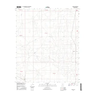
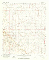 1962 Buckeye1965 Print · USGSLea County ranching and petroleum production are in full swing in the early sixties as the oil fields expand across the high plains. Genealogists and historians can locate family landmarks like the York Ranch and Martin Ranch or trace the early footprint of the Vacuum Oil Field.
 - 1985 Map of Buckeye
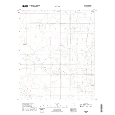
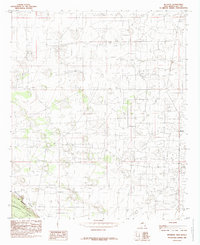 1985 Buckeye1985 Print · USGSThe high mesa of southeastern New Mexico meets the lower basin in the mid-1980s, revealing a landscape transformed by industrial energy production. Petroleum researchers and local historians can trace the infrastructure of the Oil Field around Buckeye and the distinct geography of The Caprock.
 - 2010 Map of Buckeye, 2010 Print
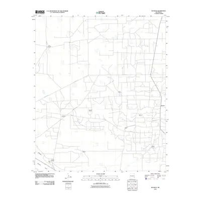 2010 Buckeye2010 Print · USGSCovers Buckeye, including Lea County, United States, and other nearby areas
 - 2013 Map of Buckeye, 2013 Print
 2013 Buckeye2013 Print · USGSCovers Buckeye, including Lea County, United States, and other nearby areas
 - 2017 Map of Buckeye, 2017 Print
 2017 Buckeye2017 Print · USGSCovers Buckeye, including Lea County, United States, and other nearby areas
 - 2020 Map of Buckeye, 2020 Print
 2020 Buckeye2020 Print · USGSCovers Buckeye, including Lea County, United States, and other nearby areas
 - 2023 Map of Buckeye, 2023 Print
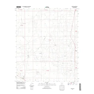
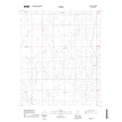 2023 Buckeye2023 Print · USGSLea County's high plains landscape comes into focus in this contemporary survey of the southeastern New Mexico ranching and oil country. Genealogists and local historians can trace the rural road networks connecting the settlement of Buckeye to remote outposts like Texas Camp and the prominent Mescalero Ridge.
End of results
Showing maps 1-9 of 9
Top cities near Buckeye
Frequently asked questions
- What are the different types of historical maps available for Buckeye?
- What is the oldest map of Buckeye?
- Where can I purchase historical maps of Buckeye for my home or office?
- Where can I download high-res historical maps of Buckeye?
- Are there historical topographic maps available for Buckeye?
- Is there historical aerial imagery available for Buckeye?
- Where are historical maps of Buckeye sourced from?