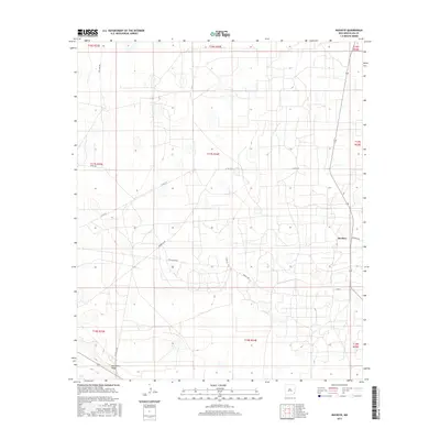
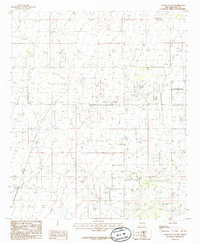
2017 Map of Buckeye
USGS Topo · Published 2017About this map
Buckeye anchors this high-plains landscape in Lea County, illustrating a rural New Mexico environment defined by its sparse infrastructure and section-line road network. The terrain is notably marked by the Mescalero Ridge in the southwestern corner, a prominent landform that breaks the flat expanse of the Permian Basin. This contemporary survey captures the specialized logistical layout of the region, where roads like Querecho Rd, Texas Camp Rd, and Buckeye Rd facilitate access across vast township and range divisions. The area labeled Texas Camp suggests the enduring presence of specific local encampments or industrial sites within this arid rangeland. Researchers will find a clear record of modern property boundaries and transport corridors serving the isolated settlements and energy-rich lands of southeastern New Mexico.
Find a feature on this map
19 named features on this map. Tap any name to fly to it.
Don’t see what you’re looking for? This feature index may not catch every label — zoom into the map to look around manually.
Map Details
Editions of this 2017 Buckeye Map
This is the sole edition of this map. No revisions or reprints were ever made.
Other maps of this area

1954 · Hobbs
USGS Topo · 1:250,000

1958 · Hobbs
USGS Topo · 1:250,000
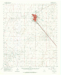
1962 · Lovington
USGS Topo · 1:62,500
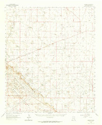
1962 · Buckeye
USGS Topo · 1:62,500
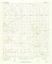
1963 · Monument
USGS Topo · 1:62,500
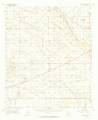
1963 · Laguna Gatuna
USGS Topo · 1:62,500
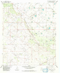
1984 · Ironhouse Well
USGS Topo · 1:24,000
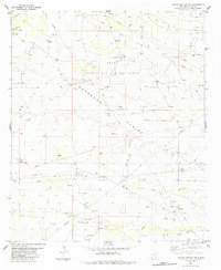
1984 · Laguna Gatuna NW
USGS Topo · 1:24,000
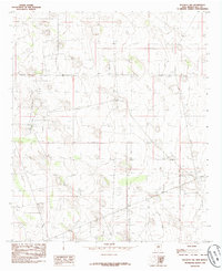
1985 · Buckeye NW
USGS Topo · 1:24,000
1985 · Lovington NW
USGS Topo · 1:24,000