
1984 Map of Ironhouse Well
USGS Topo · Published 1984About this map
Mescalero (The Caprock) Ridge dominates the center of this 1980s Lea County landscape, marking the dramatic geological break between the high mesa and the Querecho Plains below. This survey captures a region defined by its intense energy production and cattle-ranching infrastructure, with numerous extraction zones like the Quail Ridge Oil and Gas Field and Pearl Oil Field intersecting with historic watering points such as Ironhouse Well and Horse Camp Well. The presence of Friar Camp and a network of Jeep Trails suggests the utilitarian nature of the terrain during this era. A complex system of pipelines, pumping stations, and aqueducts is mapped alongside natural drainage features like Ironhouse Draw, illustrating how industrial development was integrated into the arid Llano Estacado environment.
Find a feature on this map
21 named features on this map. Tap any name to fly to it.
Don’t see what you’re looking for? This feature index may not catch every label — zoom into the map to look around manually.
Map Details
Editions of this 1984 Ironhouse Well Map
This is the sole edition of this map. No revisions or reprints were ever made.
Other maps of this area

1954 · Hobbs
USGS Topo · 1:250,000

1958 · Hobbs
USGS Topo · 1:250,000

1962 · Lovington
USGS Topo · 1:62,500

1962 · Buckeye
USGS Topo · 1:62,500

1963 · Monument
USGS Topo · 1:62,500

1963 · Laguna Gatuna
USGS Topo · 1:62,500

1984 · Lea
USGS Topo · 1:24,000

1984 · Laguna Gatuna NW
USGS Topo · 1:24,000
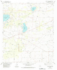
1984 · Laguna Gatuna
USGS Topo · 1:24,000
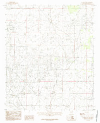
1985 · Lovington SW
USGS Topo · 1:24,000