Old Maps of Lea, New Mexico for Genealogy
Trace your family roots with 9 historic maps of Lea. These high-res maps reveal old neighborhoods, homesites, landmarks, and streets — helping you uncover where your ancestors lived and how the area evolved over time.
- Explore historic neighborhoods: Identify where your relatives may have lived in the 1800s or 1900s.
- Compare maps over time: Trace the changes in streets, buildings, and landmarks for multi-generational research.
- Perfect for genealogy & ancestry research: Used by family historians and researchers to map out lineage and migration.
These maps are an incredible resource for exploring your personal connection to Lea's past.
Lea, NM maps
(9)- 1954 Map of Hobbs, 1963 Print
 1954 Hobbs1963 Print · USGSThe High Plains and Permian Basin transition is captured here at the height of the mid-century energy boom. Genealogists and industrial historians can trace the foundations of Humble City, locate the Potash Mine and Plant, and follow the Texas-New Mexico RR.2 unique versions available
 - 1958 Map of Hobbs
 1958 Hobbs1958 Print · USGSThe High Plains of the Texas-New Mexico border are shown here during the height of the mid-century oil boom. Genealogists and historians can trace the development of Hobbs, Lovington, and Jal, alongside ranching landmarks like James Ranch and the early Texas-New Mexico Railway.
 - 1963 Map of Laguna Gatuna, 1965 Print
 1963 Laguna Gatuna1965 Print · USGSThe high plains of Lea County are defined by industrial growth and desert ranching in the early sixties. Researchers can trace family ranch lands like Smith Ranch and Alfred Ranch alongside the sprawling Corbin Oil Field and the Hobbs Air Force Base Auxiliary Field No 4.2 unique versions available
 - 1984 Map of Lea
 1984 Lea1984 Print · USGSSoutheastern New Mexico's energy corridor is captured here in the mid-1980s, during a period of intensive petroleum development. Researchers can trace the industrial footprint of the Lea Oil Field and locate landmarks like the Pumping Sta Radio Tower and the settlement of Lea.
 - 2010 Map of Lea, 2010 Print
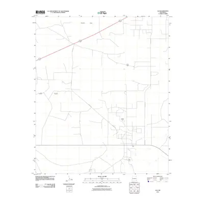 2010 Lea2010 Print · USGSSoutheast New Mexico's energy landscape is clearly visible in this survey of the high plains during the early twenty-first century. Genealogists and researchers can trace the roads connecting Lea to the North Lynch Oil Field and the local Berry Ranch.
 - 2013 Map of Lea, 2013 Print
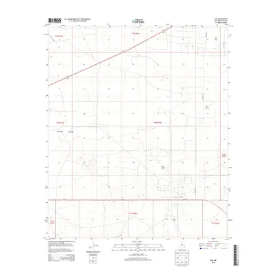 2013 Lea2013 Print · USGSThe high plains of eastern New Mexico are documented here during a period of significant energy production. Genealogists and historians can trace the intersection of ranching and oil at Berry Ranch, the Lea Oil and Gas Field, and the settlement of Lea.
 - 2017 Map of Lea, 2017 Print
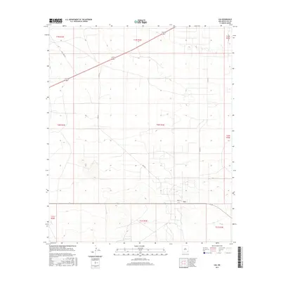 2017 Lea2017 Print · USGSThe high plains of Lea County are captured in the mid-2010s, showing a desert landscape shaped by ranching and resource management. Researchers can trace rural infrastructure along Skeen Rd, locate the settlement of Lea, and find vital water points like South Tank.
 - 2020 Map of Lea, 2020 Print
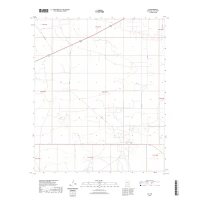 2020 Lea2020 Print · USGSLea County's open ranchlands and high-plains geography are documented here as they appeared in the early twenty-first century. Researchers can trace the grid of local infrastructure and land use along Smith Ranch Rd, Skeen Rd, and the small community of Lea.
 - 2023 Map of Lea, 2023 Print
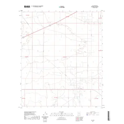 2023 Lea2023 Print · USGSThe settlement of Lea sits at the heart of this high-desert landscape during the early 2020s. Researchers can trace the modern ranching network along Smith Ranch Rd and Skeen Rd or locate water resources like South Tank.
End of results
Showing maps 1-9 of 9
Frequently asked questions
- What are the different types of historical maps available for Lea?
- What is the oldest map of Lea?
- Where can I purchase historical maps of Lea for my home or office?
- Where can I download high-res historical maps of Lea?
- Are there historical topographic maps available for Lea?
- Is there historical aerial imagery available for Lea?
- Where are historical maps of Lea sourced from?