Old Maps of Coalora, New Mexico
Explore 13 old maps of Coalora, spanning from 1934 to today. These high-resolution historic maps reveal how streets, neighborhoods, landmarks, and natural features evolved over time — perfect for genealogy, metal detecting, research, and local history exploration.
What you can do with these maps:
- See how Coalora changed over time: Compare historical maps to modern-day views to trace roads, homesites, rail lines & more.
- View detailed metadata: Each map includes creators, publishers, year, scale, and archive source.
- Overlay maps with satellite & LiDAR: Visualize the past alongside modern tools to explore terrain & human change.
- Trusted historical sources: Maps sourced from the USGS, Library of Congress, and other archives.
- Access maps your way: View online, download high-res files, or order prints for personal or research use.
Start exploring old maps of Coalora to uncover forgotten places, hidden landmarks, and the deep history beneath your feet.
Coalora, NM maps
(13)- 1934 Map of Capitan
 1934 Capitan1934 Print · USGSLincoln County’s high-mountain ranching and mining country is captured in the mid-1930s, showing the early infrastructure of the Sacramento Mountains. Researchers can trace the layout of White Oaks, locate the Encinoso Cem, and find landmarks like Hudner Airport.3 unique versions available
 - 1937 Map of Capitan
 1937 Capitan1937 Print · USGSLincoln County in the mid-thirties is a landscape of high-altitude ranching and specialized federal outposts. Genealogists and historians can trace family landholdings and community sites such as Le Baron Ranch, Mesa Sch, and the Enginoso Cem.3 unique versions available
 - 1955 Map of Roswell, 1974 Print
 1955 Roswell1974 Print · USGSSoutheastern New Mexico is shown in transition during the mid-fifties, from the Pecos Valley ranching hubs to the high timber of the Sacramento Mountains. Researchers can trace the Atchison Topeka and Santa Fe RR through Roswell and Hagerman or locate the old barracks at Ft Stanton.3 unique versions available
 - 1958 Map of Roswell
 1958 Roswell1958 Print · USGSThe High Plains and mountain peaks of New Mexico are captured here during the mid-fifties, showing the region before the closure of Walker Air Force Base. Researchers can trace the ranching and rail landscape from Lincoln to the Pecos River valley through Hagerman and Lake Arthur.
 - 1962 Map of Roswell
 1962 Roswell1962 Print · USGSSoutheastern New Mexico in the early sixties shows a landscape defined by high mountain peaks and a growing military presence at Roswell. Genealogists and historians can trace the roads connecting Fort Stanton, Capitan, and the Mescalero Apache Indian Reservation.
 - 1973 Map of Capitan, 1978 Print
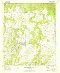 1973 Capitan1978 Print · USGSCapitan and its surrounding ranchlands are captured here in the early 1970s as the local community balanced its mining history with national forest management. Researchers can locate family landmarks like Flatley Ranch, the old mining area of Coalora, and the small Cem north of town.
 - 1981 Map of Carrizozo
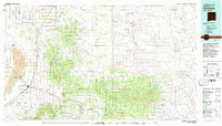 1981 Carrizozo1981 Print · USGSHigh desert plains meet the timbered slopes of the Capitan and Jicarilla Mountains in the early 1980s. Genealogists and historians can trace rail-side towns like Carrizozo and old mining sites such as the American Mine and the settlement of White Oaks.2 unique versions available
 - 2004 Map of Capitan, 2006 Print
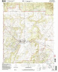 2004 Capitan2006 Print · USGSCapitan and its surrounding ranchlands are shown at the start of the millennium, just as the local landscape began its modern shift. Genealogists and historians can trace family ranch boundaries like Robinson Ranch and explore landmarks like Smokey Bear Historical Park and Fort Stanton.
 - 2011 Map of Capitan, 2011 Print
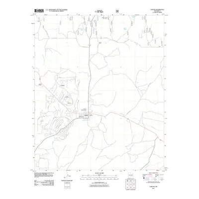 2011 Capitan2011 Print · USGSCapitan and its surroundings at the start of the 21st century reveal a landscape shaped by ranching and forest service history. Genealogists and researchers can trace local family landmarks and mining sites including Coalora, Robinson Ranch, and the Smokey Capitan Mine-Mine.
 - 2013 Map of Capitan, 2013 Print
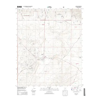 2013 Capitan2013 Print · USGSLincoln County ranchlands and mountain foothills come into focus in the early twenty-first century. Genealogists and local historians can trace the streets of Capitan and Coalora, or locate family sites like Robinson Ranch and Golder Ranch.
 - 2017 Map of Capitan, 2017 Print
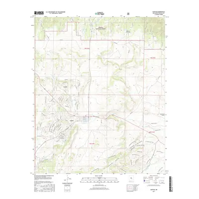 2017 Capitan2017 Print · USGSCapitan and the neighboring village of Coalora are shown at the foothills of the Capitan Mountains in the late twenty-tens. Researchers can trace the drainage of Salado Cr and Magado Cr alongside named backcountry routes like Tucson Trail.
 - 2020 Map of Capitan, 2020 Print
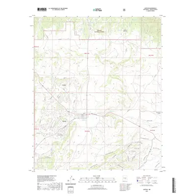 2020 Capitan2020 Print · USGSThe village of Capitan and its mountain backdrop appear in this recent survey of central Lincoln County. Trace local landmarks like Smokey Bear Blvd, the settlement of Coalora, and numerous historic routes including the Kit Carson Loop Trail.
 - 2023 Map of Capitan, 2023 Print
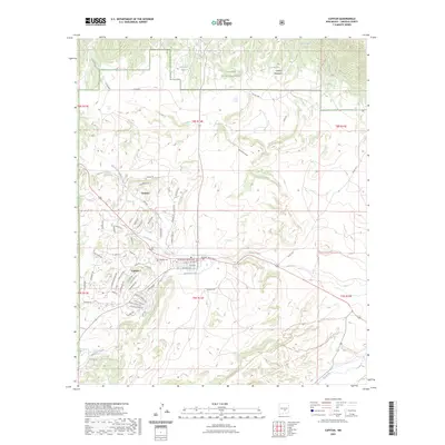 2023 Capitan2023 Print · USGSCapitan and its high-country surroundings are captured here in the early twenty-first century, showing the modern layout of this mountain village. Genealogists and local historians can locate Capitan Cem, trace the drainage of Magado Creek, and explore the area near Coalora.
End of results
Showing maps 1-13 of 13
Top cities near Coalora
- Ruidoso historical maps
- Alto historical maps
- Ruidoso Downs historical maps
- Capitan historical maps
- Carrizozo historical maps
Frequently asked questions
- What are the different types of historical maps available for Coalora?
- What is the oldest map of Coalora?
- Where can I purchase historical maps of Coalora for my home or office?
- Where can I download high-res historical maps of Coalora?
- Are there historical topographic maps available for Coalora?
- Is there historical aerial imagery available for Coalora?
- Where are historical maps of Coalora sourced from?