Old Maps of Seven Lakes, New Mexico for Metal Detecting
Plan your next treasure hunt with 15 historic maps of Seven Lakes. Find old homesites, ghost towns, trails, and gathering spots that may be lost to time — perfect for identifying promising metal detecting locations.
- Locate forgotten sites: Uncover places like long-lost settlements, abandoned rail lines, or gathering spots.
- Plan better hunts: Use map overlays combined with LiDAR or satellite views to narrow in on historically rich areas.
- Made for detectorists: Thousands of hobbyists use these maps to discover relics, coins, and hidden history.
Use these historic maps to boost your research and find new opportunities beneath the surface of Seven Lakes.
Seven Lakes, NM maps
(15)- 1883 Map of Mt. Taylor
 1883 Mt. Taylor1883 Print · USGSThe high-desert frontier of New Mexico comes to life in the 1880s, centered on the towering Mt Taylor. Researchers can trace the early path of the Atlantic and Pacific Railroad and locate settlements like Old Fort Wingate and Laguna.
 - 1886 Map of Mt. Taylor
 1886 Mt. Taylor1886 Print · USGSNorthwestern New Mexico in the mid-1880s reveals a high-desert territory where early rail commerce meets long-standing mountain settlements. Researchers can trace the path of the Atlantic and Pacific Railroad past Old Fort Wingate and the historic villages of Laguna and Cebolletta.
 - 1892 Map of Mt. Taylor, 1896 Print
 1892 Mt. Taylor1896 Print · USGSNorthwestern New Mexico in the late nineteenth century was a territory of rail expansion and ancient volcanic landmarks. Researchers can trace the path of the Atlantic and Pacific Railroad past Old Fort Wingate and the pueblo at Laguna.
 - 1899 Map of Mt. Taylor
 1899 Mt. Taylor1899 Print · USGSNorthwestern New Mexico in the late nineteenth century is a landscape of vast mesas and early rail stops before modern highways arrived. Genealogists and historians can trace the foundations of Grant, San Mateo, and Old Fort Wingate along the Santa Fe Pacific Railroad.5 unique versions available
 - 1958 Map of Albuquerque
 1958 Albuquerque1958 Print · USGSAlbuquerque and the surrounding high desert are captured here during a period of massive federal expansion and postwar growth. Researchers can trace the development of Kirtland Air Force Base, find ancestral homes in Pueblo de Santa Ana, or locate industrial sites like the Jackpile Mine.
 - 1962 Map of Albuquerque
 1962 Albuquerque1962 Print · USGSAlbuquerque and the surrounding high desert are captured here in the early 1960s during a period of intense mineral and military growth. Genealogists and historians can locate early schools like the Pueblo Pintado School, major industrial sites like the Jackpile Mine, and the sprawling Kirtland Air Force Base.
 - 1963 Map of Albuquerque, 1965 Print
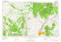 1963 Albuquerque1965 Print · USGSMid-century New Mexico unfolds across this map, showcasing the intersection of ancient pueblos, modern military bases, and historic mining districts. Trace family roots and local history through the Ortiz Mine, Seven Lakes Trading Post, and Alameda.3 unique versions available
 - 1970 Map of Seven Lakes, 1983 Print
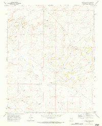 1970 Seven Lakes1983 Print · USGSMcKinley County, New Mexico, appears in the early 1970s as a quiet expanse of high-desert ranching and resource exploration. Researchers can locate isolated landmarks like the Ruby Wells Ranch, ancient Ruins, and numerous Drill Holes along the Seven Lakes Wash.
 - 1977 Map of Chaco Mesa, 1978 Print
 1977 Chaco Mesa1978 Print · USGSNorthwestern New Mexico in the late seventies remained a landscape of remote trading outposts and high-altitude mesas. Researchers can trace the location of historic commerce hubs like Star Lake Trading Post and Pueblo Pintado alongside the Continental Divide.2 unique versions available
 - 1983 Map of Albuquerque, 1984 Print
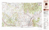 1983 Albuquerque1984 Print · USGSCentral New Mexico in the early eighties shows a landscape where ancient pueblos and modern aerospace hubs meet. Trace the routes of the Atchison Topeka and Santa Fe RR or locate landmarks like Kirtland Air Force Base, Madrid, and the Sandia Mountains.
 - 2010 Map of Seven Lakes, 2010 Print
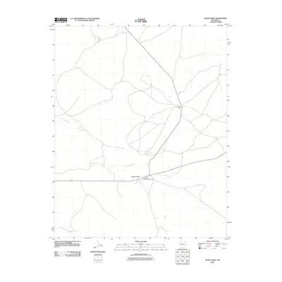 2010 Seven Lakes2010 Print · USGSCovers Seven Lakes, including Eastern Navajo Agency, McKinley County, and other nearby areas
 - 2013 Map of Seven Lakes, 2013 Print
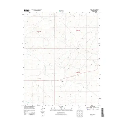 2013 Seven Lakes2013 Print · USGSCovers Seven Lakes, including Eastern Navajo Agency, McKinley County, and other nearby areas
 - 2017 Map of Seven Lakes, 2017 Print
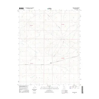 2017 Seven Lakes2017 Print · USGSCovers Seven Lakes, including Eastern Navajo Agency, McKinley County, and other nearby areas
 - 2020 Map of Seven Lakes, 2020 Print
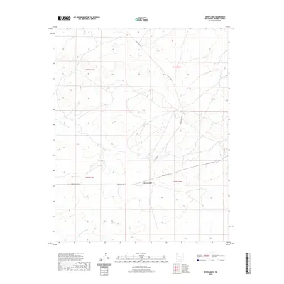 2020 Seven Lakes2020 Print · USGSCovers Seven Lakes, including Eastern Navajo Agency, McKinley County, and other nearby areas
 - 2023 Map of Seven Lakes, 2023 Print
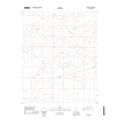 2023 Seven Lakes2023 Print · USGSMcKinley County, New Mexico, is captured here in the early twenty-first century, showing the remote high-desert terrain north of Thoreau. You can trace the drainage of Seven Lakes Wash and Kim-me-ni-oli Wash near the settlement of Seven Lakes.
End of results
Showing maps 1-15 of 15
Top cities near Seven Lakes
Frequently asked questions
- What are the different types of historical maps available for Seven Lakes?
- What is the oldest map of Seven Lakes?
- Where can I purchase historical maps of Seven Lakes for my home or office?
- Where can I download high-res historical maps of Seven Lakes?
- Are there historical topographic maps available for Seven Lakes?
- Is there historical aerial imagery available for Seven Lakes?
- Where are historical maps of Seven Lakes sourced from?