2000s (21st Century) Maps of Avis, New Mexico
Explore 6 historic maps of Avis from the 2000s (21st Century). These maps offer a rare glimpse into what life looked like during the 2000s — showing old roads, neighborhoods, homes, and landmarks that have changed or disappeared over time.
Whether you're researching your family's past, planning a metal detecting trip, or studying how Avis's landscape evolved across the 2000s, these high-resolution maps are a powerful tool for exploring the history of this region.
- Focus on a specific era: All maps on this page are from the 2000s, giving you a focused view of this time period.
- See what’s changed: Compare century-old streets, trails, and buildings to today's modern landscape using overlays and satellite layers.
- Research with precision: Use these maps for genealogy, historical research, land use analysis, or educational projects.
- View, download, or print: Maps are fully viewable online in high resolution, and can be downloaded or printed for your own records.
Start exploring Avis's history through authentic maps from the 2000s. This is your window into the past.
Avis, NM maps
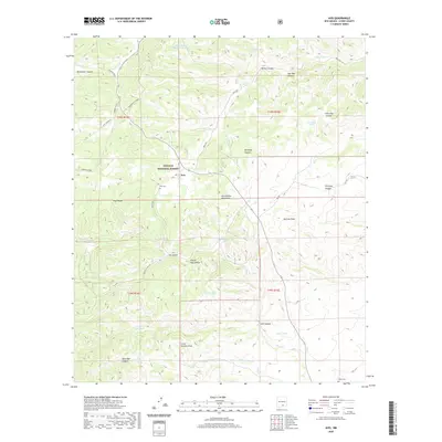
(6)- 2004 Map of Avis, 2006 Print
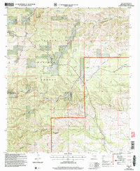 2004 Avis2006 Print · USGSHigh-desert canyon country in Otero County is captured here in the early 2000s, showing the intersection of National Forest lands and rural ranching life. Researchers can locate family landmarks like Avis Cem and Piñon Cem or trace the routes through Dog Canyon and Barclay Draw.
 - 2011 Map of Avis, 2011 Print
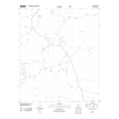 2011 Avis2011 Print · USGSCovers Avis, including Otero County, United States, and other nearby areas
 - 2013 Map of Avis, 2013 Print
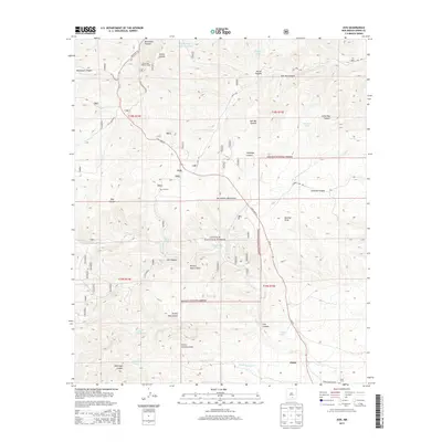 2013 Avis2013 Print · USGSCovers Avis, including Otero County, United States, and other nearby areas
 - 2017 Map of Avis, 2017 Print
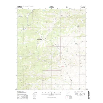 2017 Avis2017 Print · USGSCovers Avis, including Otero County, United States, and other nearby areas
 - 2020 Map of Avis, 2020 Print
 2020 Avis2020 Print · USGSCovers Avis, including Otero County, United States, and other nearby areas
 - 2023 Map of Avis, 2023 Print
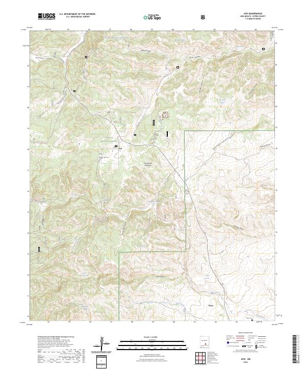 2023 Avis2023 Print · USGSIn the southern Sacramento Mountains during the early twenty-first century, these ranching communities maintained their remote character. Researchers can trace family history at the Avis Cem and Piñon Cem or explore the rugged canyon system near Pinon.
End of results
Showing maps 1-6 of 6
Frequently asked questions
- What are the different types of historical maps available for Avis?
- What is the oldest map of Avis?
- Where can I purchase historical maps of Avis for my home or office?
- Where can I download high-res historical maps of Avis?
- Are there historical topographic maps available for Avis?
- Is there historical aerial imagery available for Avis?
- Where are historical maps of Avis sourced from?