2000s (21st Century) Maps of Camp Geronimo, New Mexico
Explore 6 historic maps of Camp Geronimo from the 2000s (21st Century). These maps offer a rare glimpse into what life looked like during the 2000s — showing old roads, neighborhoods, homes, and landmarks that have changed or disappeared over time.
Whether you're researching your family's past, planning a metal detecting trip, or studying how Camp Geronimo's landscape evolved across the 2000s, these high-resolution maps are a powerful tool for exploring the history of this region.
- Focus on a specific era: All maps on this page are from the 2000s, giving you a focused view of this time period.
- See what’s changed: Compare century-old streets, trails, and buildings to today's modern landscape using overlays and satellite layers.
- Research with precision: Use these maps for genealogy, historical research, land use analysis, or educational projects.
- View, download, or print: Maps are fully viewable online in high resolution, and can be downloaded or printed for your own records.
Start exploring Camp Geronimo's history through authentic maps from the 2000s. This is your window into the past.
Camp Geronimo, NM maps
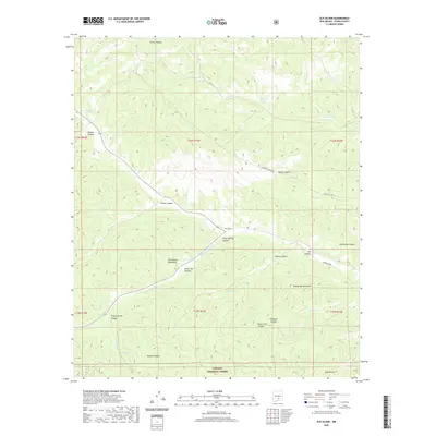
(6)- 2004 Map of Elk-Silver, 2006 Print
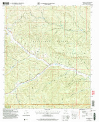 2004 Elk-Silver2006 Print · USGSOtero County highland territory is documented here just after the turn of the millennium, showing the intersection of tribal and national forest lands. Researchers can trace the water-dependent settlement patterns near Elk-Silver, Camp Geronimo, and Nahtzillee Dam.
 - 2011 Map of Elk-Silver, 2011 Print
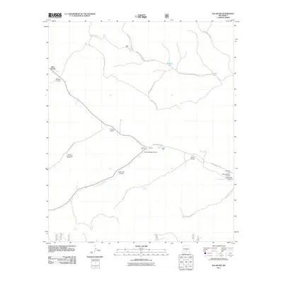 2011 Elk-Silver2011 Print · USGSCovers Camp Geronimo, including Silver Springs, Otero County, and other nearby areas
 - 2013 Map of Elk-Silver, 2013 Print
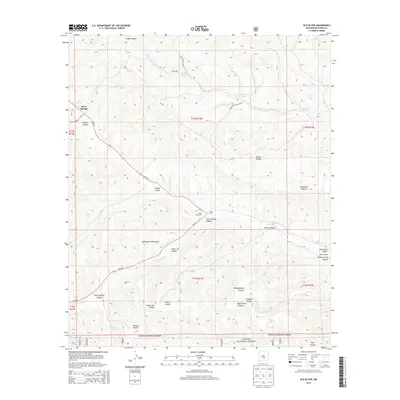 2013 Elk-Silver2013 Print · USGSCovers Camp Geronimo, including Silver Springs, Otero County, and other nearby areas
 - 2017 Map of Elk-Silver, 2017 Print
 2017 Elk-Silver2017 Print · USGSCovers Camp Geronimo, including Silver Springs, Otero County, and other nearby areas
 - 2020 Map of Elk-Silver, 2020 Print
 2020 Elk-Silver2020 Print · USGSCovers Camp Geronimo, including Silver Springs, Otero County, and other nearby areas
 - 2023 Map of Elk-Silver, 2023 Print
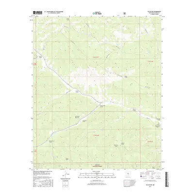
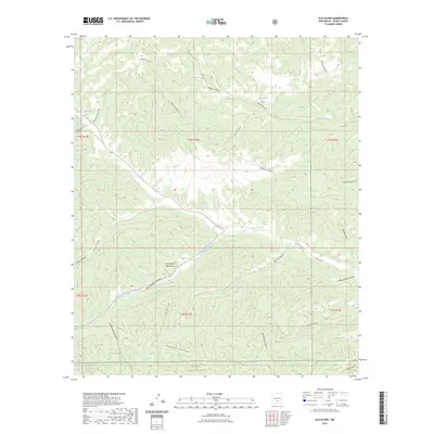 2023 Elk-Silver2023 Print · USGSOtero County's high forest country is captured here in the contemporary era, showcasing the complex water-management and canyon systems of the southern mountains. Researchers can trace historic access routes like Indian Svc Rte 14 while locating remote landmarks such as Elk Springs and Magoosh Tank.
End of results
Showing maps 1-6 of 6
Top cities near Camp Geronimo
Frequently asked questions
- What are the different types of historical maps available for Camp Geronimo?
- What is the oldest map of Camp Geronimo?
- Where can I purchase historical maps of Camp Geronimo for my home or office?
- Where can I download high-res historical maps of Camp Geronimo?
- Are there historical topographic maps available for Camp Geronimo?
- Is there historical aerial imagery available for Camp Geronimo?
- Where are historical maps of Camp Geronimo sourced from?