2000s (21st Century) Maps of Hortonville, New Mexico
Explore 6 historic maps of Hortonville from the 2000s (21st Century). These maps offer a rare glimpse into what life looked like during the 2000s — showing old roads, neighborhoods, homes, and landmarks that have changed or disappeared over time.
Whether you're researching your family's past, planning a metal detecting trip, or studying how Hortonville's landscape evolved across the 2000s, these high-resolution maps are a powerful tool for exploring the history of this region.
- Focus on a specific era: All maps on this page are from the 2000s, giving you a focused view of this time period.
- See what’s changed: Compare century-old streets, trails, and buildings to today's modern landscape using overlays and satellite layers.
- Research with precision: Use these maps for genealogy, historical research, land use analysis, or educational projects.
- View, download, or print: Maps are fully viewable online in high resolution, and can be downloaded or printed for your own records.
Start exploring Hortonville's history through authentic maps from the 2000s. This is your window into the past.
Hortonville, NM maps
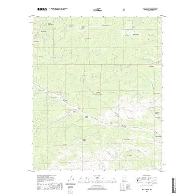
(6)- 2004 Map of Bell Canyon, 2006 Print
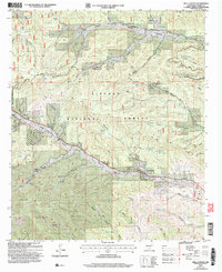 2004 Bell Canyon2006 Print · USGSHigh-altitude canyons in Otero County are documented here as they appeared just after the turn of the millennium. Genealogists and local historians can trace the community around Hortonville, find the Sixteen Springs Cem, and locate the Christadelphian Ch.
 - 2011 Map of Bell Canyon, 2011 Print
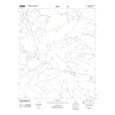 2011 Bell Canyon2011 Print · USGSCovers Hortonville, including Otero County, United States, and other nearby areas
 - 2013 Map of Bell Canyon, 2013 Print
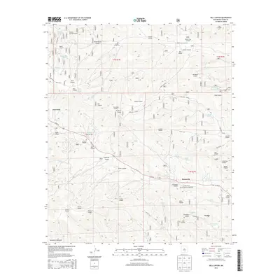 2013 Bell Canyon2013 Print · USGSCovers Hortonville, including Otero County, United States, and other nearby areas
 - 2017 Map of Bell Canyon, 2017 Print
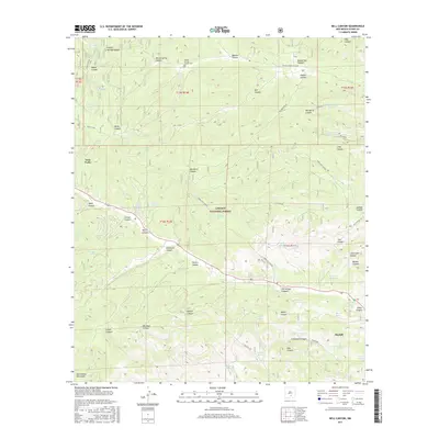 2017 Bell Canyon2017 Print · USGSCovers Hortonville, including Otero County, United States, and other nearby areas
 - 2020 Map of Bell Canyon, 2020 Print
 2020 Bell Canyon2020 Print · USGSCovers Hortonville, including Otero County, United States, and other nearby areas
 - 2023 Map of Bell Canyon, 2023 Print
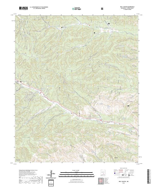 2023 Bell Canyon2023 Print · USGSOtero County's high forest terrain is documented here in the early 2020s, showing the intersection of canyon life and timber management. Researchers can locate remote burial sites at Sixteen Springs Canyon Cemetery and trace names like James Canyon and Mayhill.
End of results
Showing maps 1-6 of 6
Top cities near Hortonville
Frequently asked questions
- What are the different types of historical maps available for Hortonville?
- What is the oldest map of Hortonville?
- Where can I purchase historical maps of Hortonville for my home or office?
- Where can I download high-res historical maps of Hortonville?
- Are there historical topographic maps available for Hortonville?
- Is there historical aerial imagery available for Hortonville?
- Where are historical maps of Hortonville sourced from?