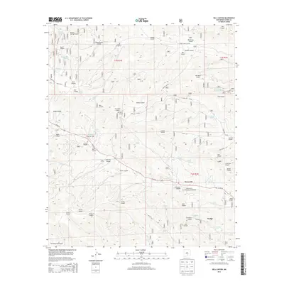
2013 Map of Bell Canyon
USGS Topo · Published 2013About this map
Sixteen Springs Cem and the settlement of Sixteen Springs Canyon characterize the northern reaches of this high-elevation terrain, where water sources were critical for early inhabitants and livestock. The map traces the winding route of Us HWY 82 as it cuts through the heart of the Lincoln National Forest, connecting the small communities of Twin Forks, Hortonville, and Mayhill. This landscape is deeply carved by a network of drainages, including James Canyon and Latham Canyon, which have historically dictated travel and settlement patterns.
Find a feature on this map
67 named features on this map. Tap any name to fly to it.
Don’t see what you’re looking for? This feature index may not catch every label — zoom into the map to look around manually.
Map Details
Editions of this 2013 Bell Canyon Map
This is the sole edition of this map. No revisions or reprints were ever made.
Other maps of this area

1952 · Cloudcroft
USGS Topo · 1:62,500

1954 · Carlsbad
USGS Topo · 1:250,000

1955 · Roswell
USGS Topo · 1:250,000

1958 · Carlsbad
USGS Topo · 1:250,000

1958 · Roswell
USGS Topo · 1:250,000

1962 · Roswell
USGS Topo · 1:250,000

1963 · Mayhill
USGS Topo · 1:24,000

1963 · Turkey Peak
USGS Topo · 1:24,000

1963 · Woodson Canyon
USGS Topo · 1:24,000

1963 · Firman Canyon
USGS Topo · 1:24,000