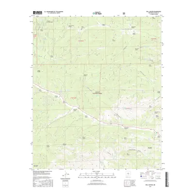
2017 Map of Bell Canyon
USGS Topo · Published 2017About this map
Mayhill and Twin Forks anchor this high-elevation landscape within the Lincoln National Forest, where the terrain of the Sacramento Mountains is defined by an intricate network of named canyons and water sources. Local history is etched into the land at the Sixteen Springs Canyon Cem and along the winding courses of Sixteen Springs Canyon and Eightmile Canyon. The map reveals a reliance on isolated water points critical for life in this arid upland, including McNatt Spring, Pew Spring, and several catchment tanks like Dollins Tank and Graveyard Tank. These features, alongside trails like Old Mayhill Rd, trace a pattern of movement and settlement through the deep relief of Graveyard Canyon and Three L Canyon, documenting how early residents managed the complex topography of Otero County.
Find a feature on this map
66 named features on this map. Tap any name to fly to it.
Don’t see what you’re looking for? This feature index may not catch every label — zoom into the map to look around manually.
Map Details
Editions of this 2017 Bell Canyon Map
This is the sole edition of this map. No revisions or reprints were ever made.
Other maps of this area

1952 · Cloudcroft
USGS Topo · 1:62,500

1954 · Carlsbad
USGS Topo · 1:250,000

1955 · Roswell
USGS Topo · 1:250,000

1958 · Carlsbad
USGS Topo · 1:250,000

1958 · Roswell
USGS Topo · 1:250,000

1962 · Roswell
USGS Topo · 1:250,000

1963 · Mayhill
USGS Topo · 1:24,000

1963 · Turkey Peak
USGS Topo · 1:24,000

1963 · Woodson Canyon
USGS Topo · 1:24,000

1963 · Firman Canyon
USGS Topo · 1:24,000