2000s (21st Century) Maps of Maxon, New Mexico
Explore 6 historic maps of Maxon from the 2000s (21st Century). These maps offer a rare glimpse into what life looked like during the 2000s — showing old roads, neighborhoods, homes, and landmarks that have changed or disappeared over time.
Whether you're researching your family's past, planning a metal detecting trip, or studying how Maxon's landscape evolved across the 2000s, these high-resolution maps are a powerful tool for exploring the history of this region.
- Focus on a specific era: All maps on this page are from the 2000s, giving you a focused view of this time period.
- See what’s changed: Compare century-old streets, trails, and buildings to today's modern landscape using overlays and satellite layers.
- Research with precision: Use these maps for genealogy, historical research, land use analysis, or educational projects.
- View, download, or print: Maps are fully viewable online in high resolution, and can be downloaded or printed for your own records.
Start exploring Maxon's history through authentic maps from the 2000s. This is your window into the past.
Maxon, NM maps
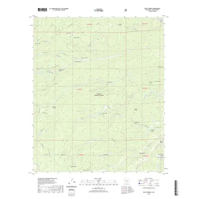
(6)- 2004 Map of Bluff Springs, 2006 Print
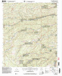 2004 Bluff Springs2006 Print · USGSOtero County's high forest interior is captured here in the early 2000s, showing a landscape defined by seasonal springs and deep mountain drainages. Researchers can locate established sites like Camp Wehinahpay or trace the geography of Benson Ridge and Rio Penasco.
 - 2011 Map of Bluff Springs, 2011 Print
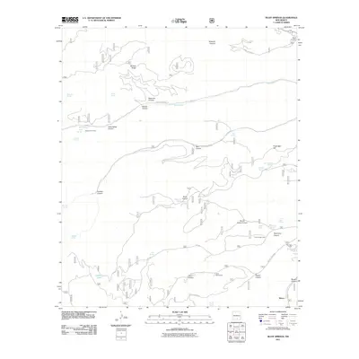 2011 Bluff Springs2011 Print · USGSCovers Maxon, including Otero County, United States, and other nearby areas
 - 2013 Map of Bluff Springs, 2013 Print
 2013 Bluff Springs2013 Print · USGSCovers Maxon, including Otero County, United States, and other nearby areas
 - 2017 Map of Bluff Springs, 2017 Print
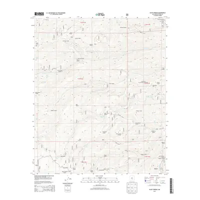
 2017 Bluff Springs2017 Print · USGSCovers Maxon, including Otero County, United States, and other nearby areas
 - 2020 Map of Bluff Springs, 2020 Print
 2020 Bluff Springs2020 Print · USGSCovers Maxon, including Otero County, United States, and other nearby areas
 - 2023 Map of Bluff Springs, 2023 Print
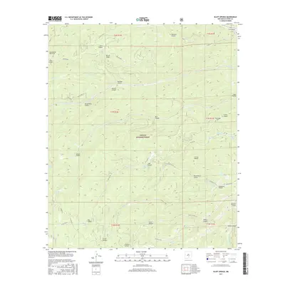
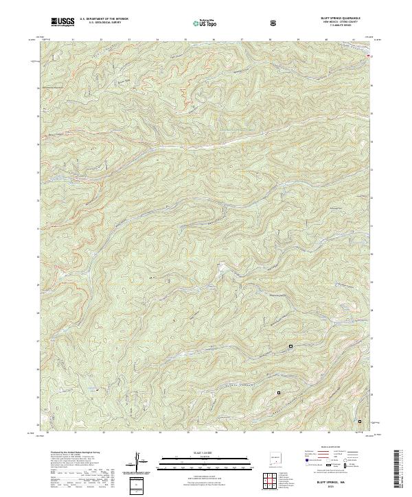 2023 Bluff Springs2023 Print · USGSThe high Sacramento Mountains are captured in this recent survey, showcasing a landscape of deep canyons and critical water sources in the Lincoln National Forest. Researchers can trace the drainage of the Rio Peñasco and locate numerous historic water points like Bluff Springs, Mauldin Spring, and Masterson Spring.
End of results
Showing maps 1-6 of 6
Top cities near Maxon
Frequently asked questions
- What are the different types of historical maps available for Maxon?
- What is the oldest map of Maxon?
- Where can I purchase historical maps of Maxon for my home or office?
- Where can I download high-res historical maps of Maxon?
- Are there historical topographic maps available for Maxon?
- Is there historical aerial imagery available for Maxon?
- Where are historical maps of Maxon sourced from?