Old Maps of Maxon, New Mexico for Hiking & Exploration
Hike through history with 11 historic maps of Maxon. Explore old trails, ghost towns, and forgotten backroads — perfect for outdoor adventurers and local explorers.
- Rediscover forgotten places: Map out old mining camps, roads, and footpaths that no longer exist on modern maps.
- Layer with modern tools: Combine with LiDAR or satellite views to plan hikes through historical terrain.
- Made for exploration: Popular among hikers, overlanders, and local history lovers.
Use these maps to find adventure and explore the hidden past of Maxon.
Maxon, NM maps
(11)- 1952 Map of Cloudcroft, 1954 Print
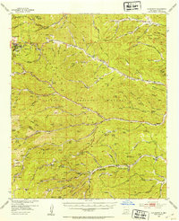 1952 Cloudcroft1954 Print · USGSHigh in the Sacramento Mountains during the early fifties, this area centers on the alpine community of Cloudcroft. Local researchers can trace family landmarks like the Weed Cem, St Joseph Church, and the Artesia Camp.3 unique versions available
 - 1954 Map of Carlsbad, 1963 Print
 1954 Carlsbad1963 Print · USGSSoutheastern New Mexico's desert peaks and river valleys appear in this mid-century study of the borderlands. Researchers can locate vanished sites like Sacramento City, trace the Pecos River reservoirs, and explore Carlsbad Caverns.3 unique versions available
 - 1958 Map of Carlsbad
 1958 Carlsbad1958 Print · USGSSoutheastern New Mexico in the mid-1950s shows a landscape of deep desert basins and high forest ranges during a period of steady ranching and early tourism. Researchers can trace the path of the Atchison Topeka and Santa Fe railroad or find vanished locales like Sacramento City (abandoned) and Whites City.2 unique versions available
 - 1974 Map of Bluff Springs, 1978 Print
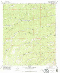 1974 Bluff Springs1978 Print · USGSThe Sacramento Mountains in the mid-seventies reveal a landscape defined by forest service management and early transport routes. Researchers can trace the Old Railroad Grade and locate mountain camps like Camp Wehinahpay and Pine Springs Camp.
 - 1979 Map of Alamogordo
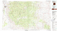 1979 Alamogordo1979 Print · USGSThe high Sacramento Mountains and the Tularosa Valley floor meet in the late seventies, showing the region's unique mix of scientific research and military land use. Genealogists and historians can trace routes to Cloudcroft, the Solar Observatory, and the McGregor Range.
 - 2004 Map of Bluff Springs, 2006 Print
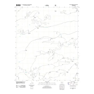
 2004 Bluff Springs2006 Print · USGSOtero County's high forest interior is captured here in the early 2000s, showing a landscape defined by seasonal springs and deep mountain drainages. Researchers can locate established sites like Camp Wehinahpay or trace the geography of Benson Ridge and Rio Penasco.
 - 2011 Map of Bluff Springs, 2011 Print
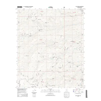
 2011 Bluff Springs2011 Print · USGSCovers Maxon, including Otero County, United States, and other nearby areas
 - 2013 Map of Bluff Springs, 2013 Print
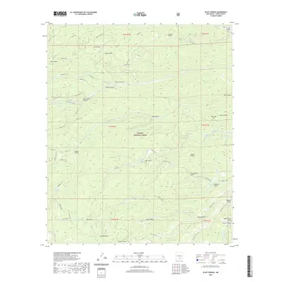
 2013 Bluff Springs2013 Print · USGSCovers Maxon, including Otero County, United States, and other nearby areas
 - 2017 Map of Bluff Springs, 2017 Print
 2017 Bluff Springs2017 Print · USGSCovers Maxon, including Otero County, United States, and other nearby areas
 - 2020 Map of Bluff Springs, 2020 Print
 2020 Bluff Springs2020 Print · USGSCovers Maxon, including Otero County, United States, and other nearby areas
 - 2023 Map of Bluff Springs, 2023 Print
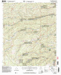
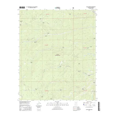
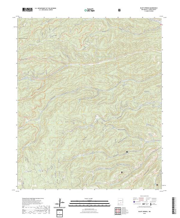 2023 Bluff Springs2023 Print · USGSThe high Sacramento Mountains are captured in this recent survey, showcasing a landscape of deep canyons and critical water sources in the Lincoln National Forest. Researchers can trace the drainage of the Rio Peñasco and locate numerous historic water points like Bluff Springs, Mauldin Spring, and Masterson Spring.
End of results
Showing maps 1-11 of 11
Top cities near Maxon
Frequently asked questions
- What are the different types of historical maps available for Maxon?
- What is the oldest map of Maxon?
- Where can I purchase historical maps of Maxon for my home or office?
- Where can I download high-res historical maps of Maxon?
- Are there historical topographic maps available for Maxon?
- Is there historical aerial imagery available for Maxon?
- Where are historical maps of Maxon sourced from?