Old Maps of Blazers Mill, Mescalero for Academic Research
Study the evolution of Blazers Mill with 12 high-resolution historic maps. Whether you're teaching, researching, or modeling changes in land use, these maps provide essential visual documentation of urban, environmental, and geographic change.
- Analyze long-term change: Track patterns in development, transportation, and natural features.
- Ideal for environmental or urban studies: Support academic projects with primary historical map data.
- Use in the classroom or lab: Educators and researchers rely on these maps to bring historical context to life.
These maps are a powerful tool for teaching, research, and visualizing how Blazers Mill has changed over the decades.
Blazers Mill, Mescalero maps
(12)- 1950 Map of Mescalero, 1955 Print
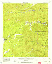 1950 Mescalero1955 Print · USGSThe Mescalero Apache Indian Reservation and the Sacramento Mountains are mapped here at the start of the 1950s. Researchers can trace tribal and forest lands, local schools like Bent Public Sch, and landmarks including St Josephs Mission and Blazers Mill.2 unique versions available
 - 1955 Map of Roswell, 1974 Print
 1955 Roswell1974 Print · USGSSoutheastern New Mexico is shown in transition during the mid-fifties, from the Pecos Valley ranching hubs to the high timber of the Sacramento Mountains. Researchers can trace the Atchison Topeka and Santa Fe RR through Roswell and Hagerman or locate the old barracks at Ft Stanton.3 unique versions available
 - 1958 Map of Roswell
 1958 Roswell1958 Print · USGSThe High Plains and mountain peaks of New Mexico are captured here during the mid-fifties, showing the region before the closure of Walker Air Force Base. Researchers can trace the ranching and rail landscape from Lincoln to the Pecos River valley through Hagerman and Lake Arthur.
 - 1962 Map of Roswell
 1962 Roswell1962 Print · USGSSoutheastern New Mexico in the early sixties shows a landscape defined by high mountain peaks and a growing military presence at Roswell. Genealogists and historians can trace the roads connecting Fort Stanton, Capitan, and the Mescalero Apache Indian Reservation.
 - 1982 Map of Mescalero
 1982 Mescalero1982 Print · USGSMescalero and the surrounding canyon country are documented here in the early 1980s, showcasing the cultural heart of the reservation. Genealogists and local historians can trace family sites at the Mescalero Indian Cemetery and Blazers Cem, or locate landmarks like the Ceremonial Ground.
 - 1984 Map of Ruidoso
 1984 Ruidoso1984 Print · USGSThe high country of the Sierra Blanca and the Lincoln National Forest are captured here in the mid-eighties as tourism and traditional land use converged. Local historians can trace the Old Military Reservation Boundary, find historic workings like the Parsons Mine, or locate small communities such as Glencoe and Whitetail.
 - 2004 Map of Mescalero, 2006 Print
 2004 Mescalero2006 Print · USGSThe Mescalero Apache Indian Reservation is documented here in the early 2000s, showing the intersection of tribal lands and the Lincoln National Forest. Researchers can identify local landmarks like the Ceremonial Ground, Blazers Cem, and the old Fish Hatchery near the Tularosa Creek.
 - 2011 Map of Mescalero, 2011 Print
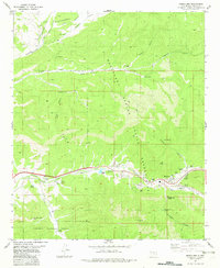
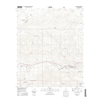
 2011 Mescalero2011 Print · USGSCovers Blazers Mill, including Bent, Mescalero, and other nearby areas
 - 2013 Map of Mescalero, 2013 Print
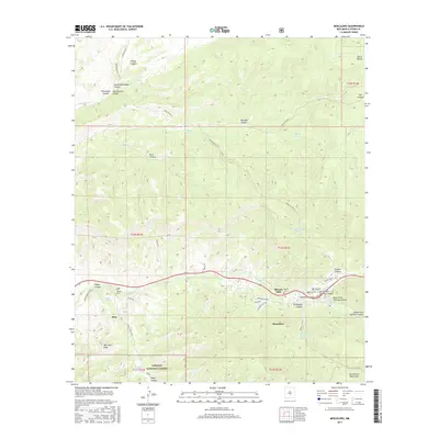
 2013 Mescalero2013 Print · USGSCovers Blazers Mill, including Bent, Mescalero, and other nearby areas
 - 2017 Map of Mescalero, 2017 Print
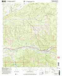
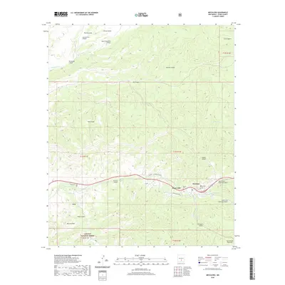
 2017 Mescalero2017 Print · USGSCovers Blazers Mill, including Bent, Mescalero, and other nearby areas
 - 2020 Map of Mescalero, 2020 Print
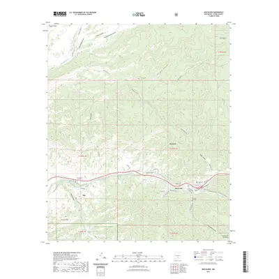
 2020 Mescalero2020 Print · USGSCovers Blazers Mill, including Bent, Mescalero, and other nearby areas
 - 2023 Map of Mescalero, 2023 Print
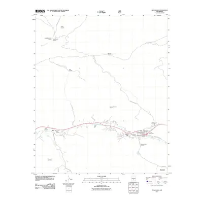
 2023 Mescalero2023 Print · USGSThe Mescalero Apache reservation and surrounding Lincoln National Forest are documented in this contemporary survey. Researchers can locate specific legacy sites such as Blazers Mill, Our Lady of Guadalupe, and the Mescalero Indian Cem.
End of results
Showing maps 1-12 of 12
Top cities near Blazers Mill
- Alamogordo historical maps
- Ruidoso historical maps
- Tularosa historical maps
- Ruidoso Downs historical maps
- Alamorosa historical maps
- High Rolls historical maps
See more
Frequently asked questions
- What are the different types of historical maps available for Blazers Mill?
- What is the oldest map of Blazers Mill?
- Where can I purchase historical maps of Blazers Mill for my home or office?
- Where can I download high-res historical maps of Blazers Mill?
- Are there historical topographic maps available for Blazers Mill?
- Is there historical aerial imagery available for Blazers Mill?
- Where are historical maps of Blazers Mill sourced from?