Old Maps of Alamogordo, New Mexico
Explore 32 old maps of Alamogordo, spanning from 1916 to today. These high-resolution historic maps reveal how streets, neighborhoods, landmarks, and natural features evolved over time — perfect for genealogy, metal detecting, research, and local history exploration.
What you can do with these maps:
- See how Alamogordo changed over time: Compare historical maps to modern-day views to trace roads, homesites, rail lines & more.
- View detailed metadata: Each map includes creators, publishers, year, scale, and archive source.
- Overlay maps with satellite & LiDAR: Visualize the past alongside modern tools to explore terrain & human change.
- Trusted historical sources: Maps sourced from the USGS, Library of Congress, and other archives.
- Access maps your way: View online, download high-res files, or order prints for personal or research use.
Start exploring old maps of Alamogordo to uncover forgotten places, hidden landmarks, and the deep history beneath your feet.
Alamogordo, NM maps
(32)- 1916 Map of Point Of Sands
 1916 Point Of Sands1916 Print · USGSThe Tularosa Basin in the years before the Great War was a world of remote cattle ranches and alkali plains. Researchers can trace the heritage of the Tularosa frontier through family landmarks like Pelman Ranch, Bairds Wells, and the Eddy Soda Prospect.2 unique versions available
 - 1948 Map of Holloman, 1956 Print
 1948 Holloman1956 Print · USGSPost-war Otero County is captured here during the transformative emergence of desert military testing and aerospace research. Genealogists and historians can locate ranching outposts like McNatt Ranch alongside early installations like Holloman Air Force Base and the Poorman Range.
 - 1950 Map of Alamogordo, 1955 Print
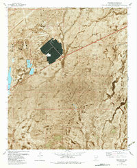
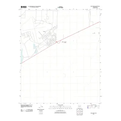
 1950 Alamogordo1955 Print · USGSMid-century Alamogordo and the Sacramento Mountains are captured here during a period of steady growth and high-altitude development. Researchers can trace the Southern Pacific rail line, locate the State Sch For Blind, or find mountain sites like High Rolls and the Warnock Mine.3 unique versions available
 - 1954 Map of Carlsbad, 1963 Print
 1954 Carlsbad1963 Print · USGSSoutheastern New Mexico's desert peaks and river valleys appear in this mid-century study of the borderlands. Researchers can locate vanished sites like Sacramento City, trace the Pecos River reservoirs, and explore Carlsbad Caverns.3 unique versions available
 - 1955 Map of Las Cruces, 1963 Print
 1955 Las Cruces1963 Print · USGSSouthern New Mexico comes into focus during the mid-fifties, showing the growth of Las Cruces alongside major military and scientific installations. Genealogists and historians can trace the Southern Pacific tracks through small rail towns like Cambray and Afton, or locate family sites near Hatch and Deming.3 unique versions available
 - 1958 Map of Las Cruces
 1958 Las Cruces1958 Print · USGSSouthern New Mexico in the late fifties was a landscape of rapid scientific and military growth centered on the Rio Grande. Local historians can trace the development of Las Cruces, the campus of New Mexico A and M College, and remote rail sidings like Aden Siding.
 - 1958 Map of Carlsbad
 1958 Carlsbad1958 Print · USGSSoutheastern New Mexico in the mid-1950s shows a landscape of deep desert basins and high forest ranges during a period of steady ranching and early tourism. Researchers can trace the path of the Atchison Topeka and Santa Fe railroad or find vanished locales like Sacramento City (abandoned) and Whites City.2 unique versions available
 - 1976 Map of Mule Peak, 1980 Print
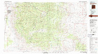
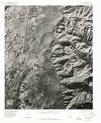 1976 Mule Peak1980 Print · USGSThe high desert of Otero County is captured in this 1970s orthophoto as rail and road corridors skirt the mountain front. Researchers can trace the development of Omlee and the stark drainage patterns of Mule Canyon and Dog Canyon.
 - 1976 Map of Holloman SE, 1980 Print
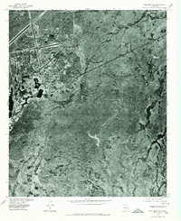 1976 Holloman SE1980 Print · USGSOtero County's high desert landscape was evolving in the mid-seventies as military aviation expanded across the Tularosa Basin. Trace the structural layout of Holloman Air Force Base, from its intricate runway networks to its specialized desert housing and support facilities.
 - 1976 Map of Alamogordo, 1980 Print
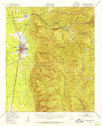
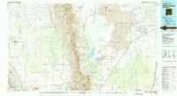
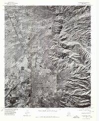 1976 Alamogordo1980 Print · USGSThe high desert plains of Otero County are frozen in the mid-seventies, showing the urban footprint of Alamogordo against the mountain front. Researchers can trace the development of La Luz and the rugged drainage patterns of Dry Canyon and Marble Canyon.
 - 1979 Map of Alamogordo
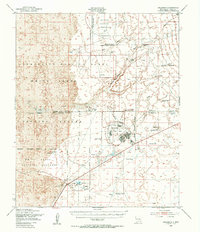
 1979 Alamogordo1979 Print · USGSThe high Sacramento Mountains and the Tularosa Valley floor meet in the late seventies, showing the region's unique mix of scientific research and military land use. Genealogists and historians can trace routes to Cloudcroft, the Solar Observatory, and the McGregor Range.
 - 1981 Map of Alamogordo North, 1982 Print
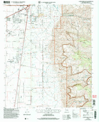
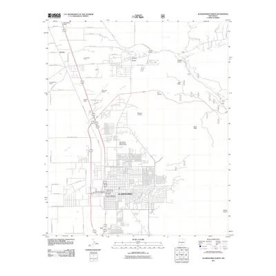
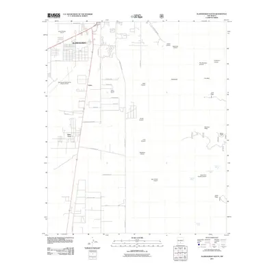
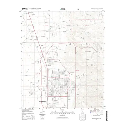
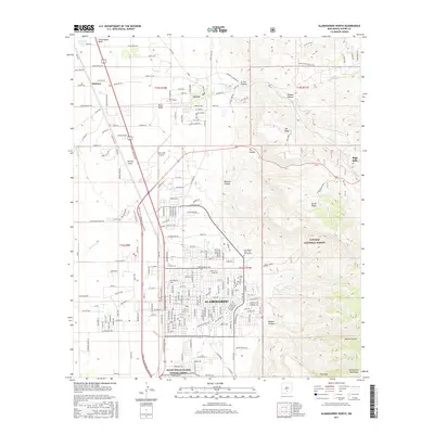
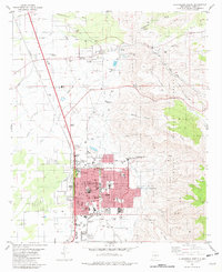 1981 Alamogordo North1982 Print · USGSAlamogordo and the historic village of La Luz are captured in the early eighties as they expanded along the base of the Sacramento Mountains. Researchers can trace local landmarks like the International Space Hall of Fame, the N M State University (Alamogordo Branch), and the old Southern Pacific line.
 - 1981 Map of Alamogordo South, 1982 Print
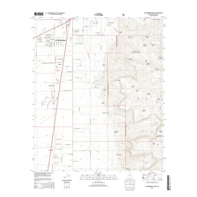
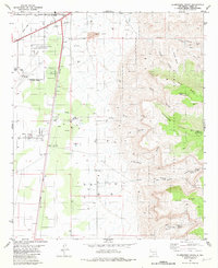 1981 Alamogordo South1982 Print · USGSThe high desert outskirts of Otero County are shown here during a period of significant regional growth and military importance. Researchers can trace the development of Boles Acres, locate the historic Southern Pacific rail line, and find mountain landmarks like Dripping Spring and Mule Peak.2 unique versions available
 - 1982 Map of Holloman
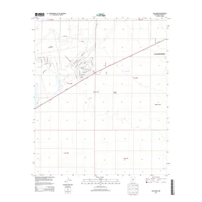
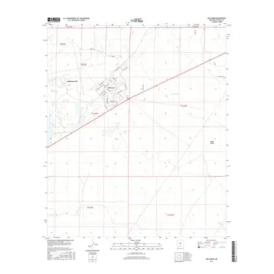
 1982 Holloman1982 Print · USGSThe high desert of Otero County serves as a backdrop for the expansion of military aviation and traditional ranching in the early 1980s. Local researchers can trace the footprint of Holloman Air Force Base alongside rangeland landmarks like Harrington Tank and Huss Well.
 - 1982 Map of White Sands
 1982 White Sands1982 Print · USGSNew Mexico's high desert reveals its complex military and scientific heritage during the early eighties, from the gypsum dunes to the missile ranges. Researchers can trace the massive boundaries of White Sands National Monument and locate the White Sands Test Facility (NASA) among the rugged San Andres Mountains.
 - 2004 Map of Alamogordo South, 2006 Print
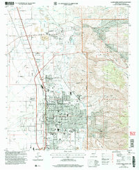
 2004 Alamogordo South2006 Print · USGSAlamogordo expanded toward the Sacramento Mountains at the start of the new millennium, balancing urban growth with the surrounding desert landscape. Historians can trace the city’s early 2000s boundaries and the infrastructure supporting Alamogordo as it borders the national forest.
 - 2004 Map of Alamogordo North, 2006 Print
 2004 Alamogordo North2006 Print · USGSThe Tularosa Basin and the Sacramento Mountain foothills meet in this 2004 survey of the Alamogordo area. Researchers can trace the development of civic institutions like the Museum of Space History and historic settlements like La Luz.
 - 2010 Map of Holloman, 2010 Print
 2010 Holloman2010 Print · USGSCovers Alamogordo, including Boles Acres, Otero County, and other nearby areas
 - 2011 Map of Alamogordo North, 2011 Print
 2011 Alamogordo North2011 Print · USGSCovers Alamogordo, including La Luz, Otero County, and other nearby areas
 - 2011 Map of Alamogordo South, 2011 Print
 2011 Alamogordo South2011 Print · USGSCovers Alamogordo, including Boles Acres, Otero County, and other nearby areas
 - 2013 Map of Holloman, 2013 Print
 2013 Holloman2013 Print · USGSCovers Alamogordo, including Boles Acres, Otero County, and other nearby areas
 - 2013 Map of Alamogordo North, 2013 Print
 2013 Alamogordo North2013 Print · USGSCovers Alamogordo, including La Luz, Otero County, and other nearby areas
 - 2013 Map of Alamogordo South, 2013 Print
 2013 Alamogordo South2013 Print · USGSCovers Alamogordo, including Boles Acres, Otero County, and other nearby areas
 - 2017 Map of Holloman, 2017 Print
 2017 Holloman2017 Print · USGSCovers Alamogordo, including Boles Acres, Otero County, and other nearby areas
 - 2017 Map of Alamogordo North, 2017 Print
 2017 Alamogordo North2017 Print · USGSCovers Alamogordo, including La Luz, Otero County, and other nearby areas
Showing maps 1-25 of 32
Top cities near Alamogordo
- Tularosa historical maps
- Boles Acres historical maps
- Alamorosa historical maps
- High Rolls historical maps
- Cloudcroft historical maps
Frequently asked questions
- What are the different types of historical maps available for Alamogordo?
- What is the oldest map of Alamogordo?
- Where can I purchase historical maps of Alamogordo for my home or office?
- Where can I download high-res historical maps of Alamogordo?
- Are there historical topographic maps available for Alamogordo?
- Is there historical aerial imagery available for Alamogordo?
- Where are historical maps of Alamogordo sourced from?