2000s (21st Century) Maps of Alamogordo, New Mexico
Explore 17 historic maps of Alamogordo from the 2000s (21st Century). These maps offer a rare glimpse into what life looked like during the 2000s — showing old roads, neighborhoods, homes, and landmarks that have changed or disappeared over time.
Whether you're researching your family's past, planning a metal detecting trip, or studying how Alamogordo's landscape evolved across the 2000s, these high-resolution maps are a powerful tool for exploring the history of this region.
- Focus on a specific era: All maps on this page are from the 2000s, giving you a focused view of this time period.
- See what’s changed: Compare century-old streets, trails, and buildings to today's modern landscape using overlays and satellite layers.
- Research with precision: Use these maps for genealogy, historical research, land use analysis, or educational projects.
- View, download, or print: Maps are fully viewable online in high resolution, and can be downloaded or printed for your own records.
Start exploring Alamogordo's history through authentic maps from the 2000s. This is your window into the past.
Alamogordo, NM maps
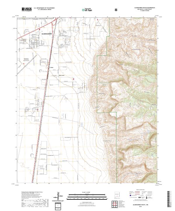
(17)- 2004 Map of Alamogordo South, 2006 Print
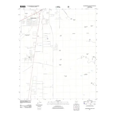
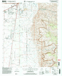 2004 Alamogordo South2006 Print · USGSAlamogordo expanded toward the Sacramento Mountains at the start of the new millennium, balancing urban growth with the surrounding desert landscape. Historians can trace the city’s early 2000s boundaries and the infrastructure supporting Alamogordo as it borders the national forest.
 - 2004 Map of Alamogordo North, 2006 Print
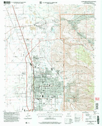 2004 Alamogordo North2006 Print · USGSThe Tularosa Basin and the Sacramento Mountain foothills meet in this 2004 survey of the Alamogordo area. Researchers can trace the development of civic institutions like the Museum of Space History and historic settlements like La Luz.
 - 2010 Map of Holloman, 2010 Print
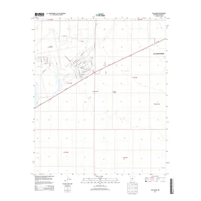
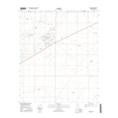
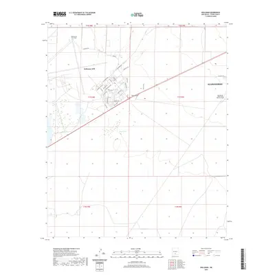
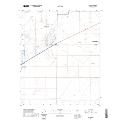
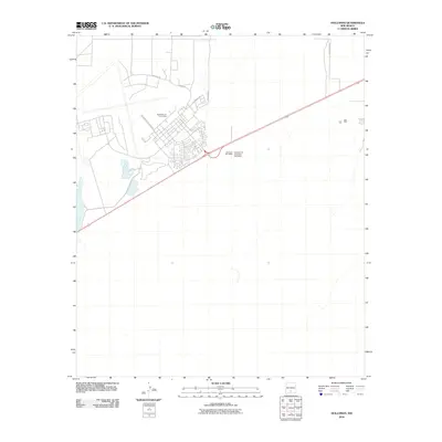 2010 Holloman2010 Print · USGSCovers Alamogordo, including Boles Acres, Otero County, and other nearby areas
 - 2011 Map of Alamogordo North, 2011 Print
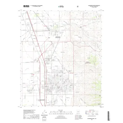
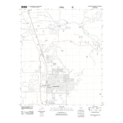 2011 Alamogordo North2011 Print · USGSCovers Alamogordo, including La Luz, Otero County, and other nearby areas
 - 2011 Map of Alamogordo South, 2011 Print
 2011 Alamogordo South2011 Print · USGSCovers Alamogordo, including Boles Acres, Otero County, and other nearby areas
 - 2013 Map of Holloman, 2013 Print
 2013 Holloman2013 Print · USGSCovers Alamogordo, including Boles Acres, Otero County, and other nearby areas
 - 2013 Map of Alamogordo North, 2013 Print
 2013 Alamogordo North2013 Print · USGSCovers Alamogordo, including La Luz, Otero County, and other nearby areas
 - 2013 Map of Alamogordo South, 2013 Print
 2013 Alamogordo South2013 Print · USGSCovers Alamogordo, including Boles Acres, Otero County, and other nearby areas
 - 2017 Map of Holloman, 2017 Print
 2017 Holloman2017 Print · USGSCovers Alamogordo, including Boles Acres, Otero County, and other nearby areas
 - 2017 Map of Alamogordo North, 2017 Print
 2017 Alamogordo North2017 Print · USGSCovers Alamogordo, including La Luz, Otero County, and other nearby areas
 - 2017 Map of Alamogordo South, 2017 Print
 2017 Alamogordo South2017 Print · USGSCovers Alamogordo, including Boles Acres, Otero County, and other nearby areas
 - 2020 Map of Alamogordo South, 2020 Print
 2020 Alamogordo South2020 Print · USGSCovers Alamogordo, including Boles Acres, Otero County, and other nearby areas
 - 2020 Map of Holloman, 2020 Print
 2020 Holloman2020 Print · USGSCovers Alamogordo, including Boles Acres, Otero County, and other nearby areas
 - 2020 Map of Alamogordo North, 2020 Print
 2020 Alamogordo North2020 Print · USGSCovers Alamogordo, including La Luz, Otero County, and other nearby areas
 - 2023 Map of Alamogordo North, 2023 Print
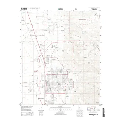
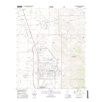
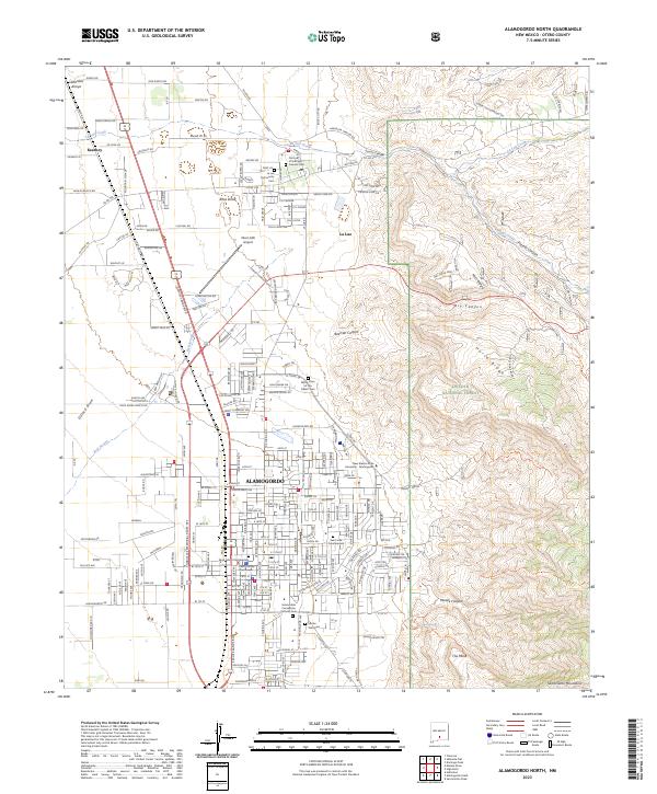 2023 Alamogordo North2023 Print · USGSThe Tularosa Basin meets the Sacramento Mountains in this recent look at the Otero County seat. Genealogists and local historians can locate several burial grounds including Monte Vista Cem and Our Lady of the Light Catholic Cem.
 - 2023 Map of Holloman, 2023 Print
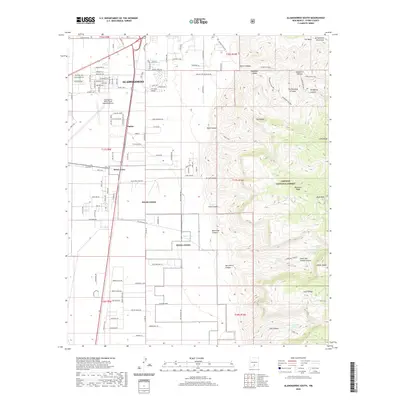
 2023 Holloman2023 Print · USGSOtero County is captured here in the early 2020s, highlighting the expansive footprint of the high-desert aviation hubs. Genealogists and historians can trace the street grids of Holloman AFB and Boles Acres or locate the Alamogordo-White Sands Regional Airport.
 - 2023 Map of Alamogordo South, 2023 Print
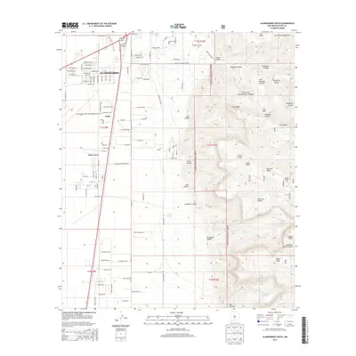
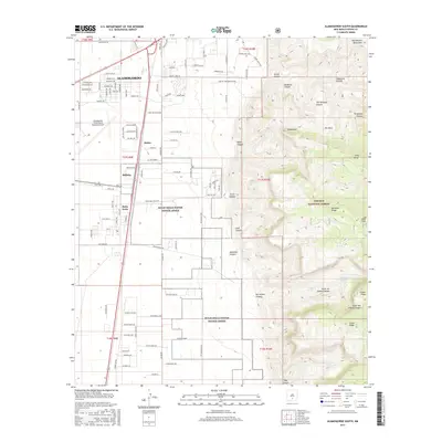
 2023 Alamogordo South2023 Print · USGSSouthern New Mexico’s high desert meets the mountain front in this contemporary 2023 record of the Tularosa Basin. Researchers can trace the modern growth of Alamogordo and Boles Acres alongside backcountry features like Dripping Spring and The Roundup Ground.
End of results
Showing maps 1-17 of 17
Top cities near Alamogordo
- Tularosa historical maps
- Boles Acres historical maps
- Alamorosa historical maps
- High Rolls historical maps
- Cloudcroft historical maps
Frequently asked questions
- What are the different types of historical maps available for Alamogordo?
- What is the oldest map of Alamogordo?
- Where can I purchase historical maps of Alamogordo for my home or office?
- Where can I download high-res historical maps of Alamogordo?
- Are there historical topographic maps available for Alamogordo?
- Is there historical aerial imagery available for Alamogordo?
- Where are historical maps of Alamogordo sourced from?