Old Maps of Nara Visa, New Mexico for Academic Research
Study the evolution of Nara Visa with 8 high-resolution historic maps. Whether you're teaching, researching, or modeling changes in land use, these maps provide essential visual documentation of urban, environmental, and geographic change.
- Analyze long-term change: Track patterns in development, transportation, and natural features.
- Ideal for environmental or urban studies: Support academic projects with primary historical map data.
- Use in the classroom or lab: Educators and researchers rely on these maps to bring historical context to life.
These maps are a powerful tool for teaching, research, and visualizing how Nara Visa has changed over the decades.
Nara Visa, NM maps
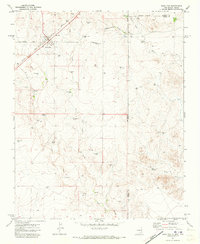
(8)- 1954 Map of Tucumcari, 1965 Print
 1954 Tucumcari1965 Print · USGSThe high plains along the New Mexico and Texas border come alive in this mid-century survey, just as the regional highway network was maturing. Trace the historic route of U.S. 66 through Glenrio and San Jon or locate remote rail sidings like Rehm Station and Obar.2 unique versions available
 - 1958 Map of Tucumcari
 1958 Tucumcari1958 Print · USGSEastern New Mexico and the Texas Panhandle meet in this mid-century survey of the high plains ranching and rail corridor. Researchers can trace the path of Mother Road travelers through Tucumcari and Glenrio or locate remote rail stops like Nara Visa Station and Hartley Station.
 - 1971 Map of Nara Visa, 1973 Print
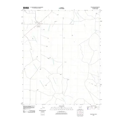
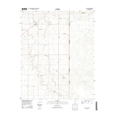
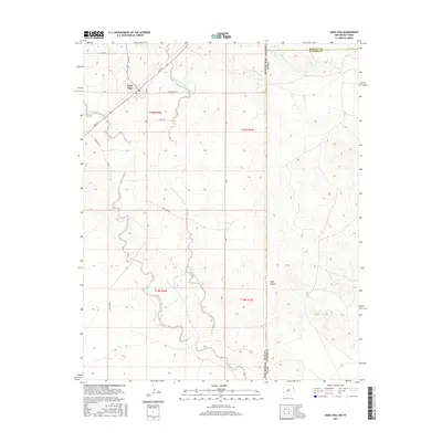
 1971 Nara Visa1973 Print · USGSThe ranching landscape of Quay County is documented here in the early 1970s, as the railroad still shaped the high plains. Genealogists and historians can trace family-named water sources like Jones Well and McAlister Well near Nara Visa.
 - 2010 Map of Nara Visa, 2010 Print
 2010 Nara Visa2010 Print · USGSCovers Nara Visa, including Hartley County, Oldham County, and other nearby areas
 - 2013 Map of Nara Visa, 2013 Print
 2013 Nara Visa2013 Print · USGSCovers Nara Visa, including Hartley County, Oldham County, and other nearby areas
 - 2017 Map of Nara Visa, 2017 Print
 2017 Nara Visa2017 Print · USGSCovers Nara Visa, including Hartley County, Oldham County, and other nearby areas
 - 2020 Map of Nara Visa, 2020 Print
 2020 Nara Visa2020 Print · USGSCovers Nara Visa, including Hartley County, Oldham County, and other nearby areas
 - 2023 Map of Nara Visa, 2023 Print
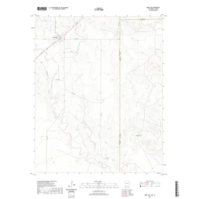
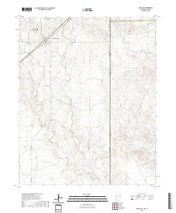 2023 Nara Visa2023 Print · USGSThe High Plains border of New Mexico and Texas is captured in this modern survey of the Nara Visa area. Genealogists can trace family history at the Independent Order of Odd Fellows Cemetery or locate landmarks like Sidle Spring and Sidle Canyon.
End of results
Showing maps 1-8 of 8
Frequently asked questions
- What are the different types of historical maps available for Nara Visa?
- What is the oldest map of Nara Visa?
- Where can I purchase historical maps of Nara Visa for my home or office?
- Where can I download high-res historical maps of Nara Visa?
- Are there historical topographic maps available for Nara Visa?
- Is there historical aerial imagery available for Nara Visa?
- Where are historical maps of Nara Visa sourced from?