2000s (21st Century) Maps of Coyote, New Mexico
Explore 6 historic maps of Coyote from the 2000s (21st Century). These maps offer a rare glimpse into what life looked like during the 2000s — showing old roads, neighborhoods, homes, and landmarks that have changed or disappeared over time.
Whether you're researching your family's past, planning a metal detecting trip, or studying how Coyote's landscape evolved across the 2000s, these high-resolution maps are a powerful tool for exploring the history of this region.
- Focus on a specific era: All maps on this page are from the 2000s, giving you a focused view of this time period.
- See what’s changed: Compare century-old streets, trails, and buildings to today's modern landscape using overlays and satellite layers.
- Research with precision: Use these maps for genealogy, historical research, land use analysis, or educational projects.
- View, download, or print: Maps are fully viewable online in high resolution, and can be downloaded or printed for your own records.
Start exploring Coyote's history through authentic maps from the 2000s. This is your window into the past.
Coyote, NM maps
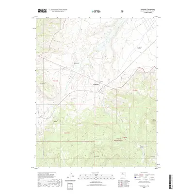
(6)- 2002 Map of Youngsville, 2003 Print
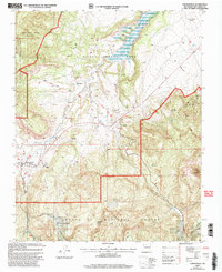 2002 Youngsville2003 Print · USGSUpper Rio Arriba County in the early 2000s shows a high-desert landscape shaped by Spanish land grants and the Santa Fe National Forest. Genealogists and hikers can locate the Youngsville Cem, the Coyote Elem Sch, and landmarks like Cerro Pedernal.
 - 2011 Map of Youngsville, 2011 Print
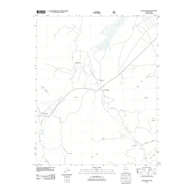 2011 Youngsville2011 Print · USGSCovers Coyote, including Rio Puerco, Youngsville, and other nearby areas
 - 2013 Map of Youngsville, 2013 Print
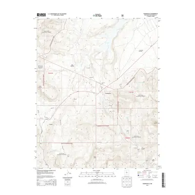 2013 Youngsville2013 Print · USGSCovers Coyote, including Rio Puerco, Youngsville, and other nearby areas
 - 2017 Map of Youngsville, 2017 Print
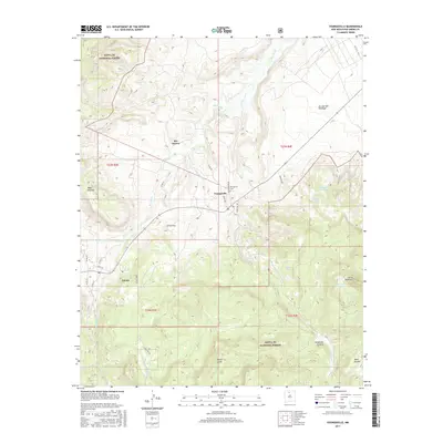 2017 Youngsville2017 Print · USGSCovers Coyote, including Rio Puerco, Youngsville, and other nearby areas
 - 2020 Map of Youngsville, 2020 Print
 2020 Youngsville2020 Print · USGSCovers Coyote, including Rio Puerco, Youngsville, and other nearby areas
 - 2023 Map of Youngsville, 2023 Print
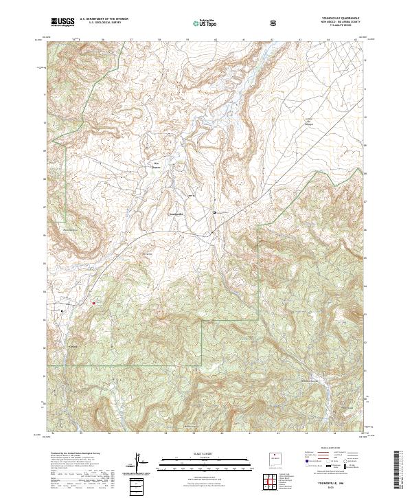 2023 Youngsville2023 Print · USGSNorthern New Mexico's high-plateau country comes into focus in this recent survey of Rio Arriba County. Researchers can trace family sites near Youngsville and Coyote, or locate landmark features like Mesa Naranja and the Youngsville Cem.
End of results
Showing maps 1-6 of 6
Frequently asked questions
- What are the different types of historical maps available for Coyote?
- What is the oldest map of Coyote?
- Where can I purchase historical maps of Coyote for my home or office?
- Where can I download high-res historical maps of Coyote?
- Are there historical topographic maps available for Coyote?
- Is there historical aerial imagery available for Coyote?
- Where are historical maps of Coyote sourced from?