2000s (21st Century) Maps of Jarosa, New Mexico
Explore 6 historic maps of Jarosa from the 2000s (21st Century). These maps offer a rare glimpse into what life looked like during the 2000s — showing old roads, neighborhoods, homes, and landmarks that have changed or disappeared over time.
Whether you're researching your family's past, planning a metal detecting trip, or studying how Jarosa's landscape evolved across the 2000s, these high-resolution maps are a powerful tool for exploring the history of this region.
- Focus on a specific era: All maps on this page are from the 2000s, giving you a focused view of this time period.
- See what’s changed: Compare century-old streets, trails, and buildings to today's modern landscape using overlays and satellite layers.
- Research with precision: Use these maps for genealogy, historical research, land use analysis, or educational projects.
- View, download, or print: Maps are fully viewable online in high resolution, and can be downloaded or printed for your own records.
Start exploring Jarosa's history through authentic maps from the 2000s. This is your window into the past.
Jarosa, NM maps
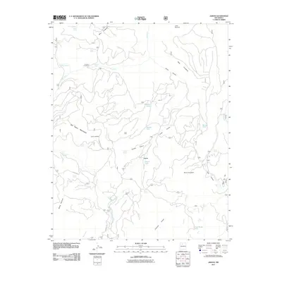
(6)- 2002 Map of Jarosa, 2003 Print
 2002 Jarosa2003 Print · USGSThe high forest lands of Rio Arriba County appear here just after the turn of the millennium, centered on the Santa Fe National Forest. Researchers can trace old mountain water sources and landforms like Teakettle Rock Spring, Jarosa Canyon, and Mining Mountain.
 - 2011 Map of Jarosa, 2011 Print
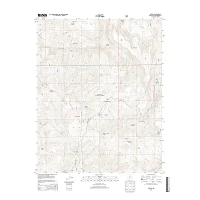
 2011 Jarosa2011 Print · USGSCovers Jarosa, including Rio Arriba County, United States, and other nearby areas
 - 2013 Map of Jarosa, 2013 Print
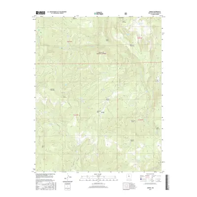
 2013 Jarosa2013 Print · USGSCovers Jarosa, including Rio Arriba County, United States, and other nearby areas
 - 2017 Map of Jarosa, 2017 Print
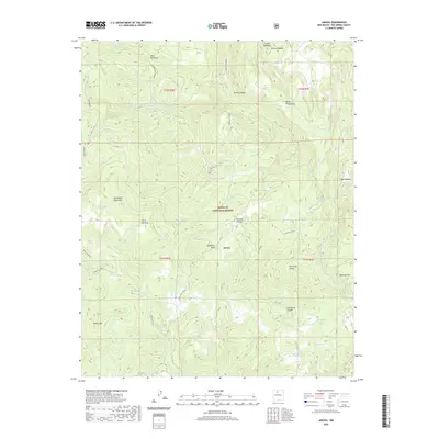
 2017 Jarosa2017 Print · USGSCovers Jarosa, including Rio Arriba County, United States, and other nearby areas
 - 2020 Map of Jarosa, 2020 Print
 2020 Jarosa2020 Print · USGSCovers Jarosa, including Rio Arriba County, United States, and other nearby areas
 - 2023 Map of Jarosa, 2023 Print
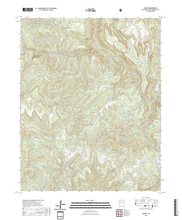 2023 Jarosa2023 Print · USGSThis part of Rio Arriba County within the Santa Fe National Forest is mapped as it appears today, showing a landscape of high mesas and remote springs. You can trace family-named landmarks and geographic features like Teakettle Rock, Mining Mtn, and the small settlement of Jarosa.
End of results
Showing maps 1-6 of 6
Frequently asked questions
- What are the different types of historical maps available for Jarosa?
- What is the oldest map of Jarosa?
- Where can I purchase historical maps of Jarosa for my home or office?
- Where can I download high-res historical maps of Jarosa?
- Are there historical topographic maps available for Jarosa?
- Is there historical aerial imagery available for Jarosa?
- Where are historical maps of Jarosa sourced from?