Old Maps of South Petaca, New Mexico for Academic Research
Study the evolution of South Petaca with 12 high-resolution historic maps. Whether you're teaching, researching, or modeling changes in land use, these maps provide essential visual documentation of urban, environmental, and geographic change.
- Analyze long-term change: Track patterns in development, transportation, and natural features.
- Ideal for environmental or urban studies: Support academic projects with primary historical map data.
- Use in the classroom or lab: Educators and researchers rely on these maps to bring historical context to life.
These maps are a powerful tool for teaching, research, and visualizing how South Petaca has changed over the decades.
South Petaca, NM maps
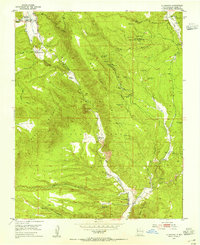
(12)- 1918 Map of Abiquiu
 1918 Abiquiu1918 Print · USGSUpper Rio Arriba County comes alive in the years following the Great War, showing a network of historic land grants and riverside villages. Researchers can trace the path of the D. and R. G. R. R. or locate ancestral roots in Abiquiu, Vallecitos, and San Juan.
 - 1953 Map of La Madera, 1955 Print
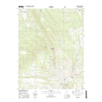
 1953 La Madera1955 Print · USGSRio Arriba County’s mineral-rich highlands come alive in this early 1950s record of a bustling mining district. Metal detectorists and local historians can trace dozens of individual claims and active operations like the Sunnyside Mine, White Mine, and the settlement at Vallecitos.3 unique versions available
 - 1954 Map of Aztec, 1975 Print
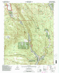
 1954 Aztec1975 Print · USGSNorthern New Mexico and southern Colorado come alive in the mid-1950s, showing the high-country settlements and tribal lands of the San Juan Basin. Genealogists and historians can trace the path of the Denver & Rio Grande Western RR and locate communities like Abiquiu, Park View, and Lumberton.4 unique versions available
 - 1958 Map of Aztec
 1958 Aztec1958 Print · USGSNorthern New Mexico and the southern Colorado border are captured here during the mid-fifties, showing the rugged intersection of national forests and tribal lands. Researchers can trace the Denver and Rio Grande Western rail line and locate remote outposts like Blanco Trading Post or Sargent Ranch.
 - 1962 Map of Aztec
 1962 Aztec1962 Print · USGSNorthwestern New Mexico in the early sixties showcases a landscape defined by the arrival of the Navajo Reservoir and the high-altitude timber of the Carson National Forest. Trace the path of the Denver & Rio Grande Western RR or locate historic settlements like Tierra Amarilla and Gobernador.
 - 1965 Map of Aztec
 1965 Aztec1965 Print · USGSNorthern New Mexico and southern Colorado come alive in the mid-sixties, from the San Juan Basin to the high Jemez Mountains. Trace the narrow-gauge Denver & Rio Grande Western RR through Monero or locate old outposts like Blanco Trading Post.
 - 1995 Map of La Madera, 1997 Print
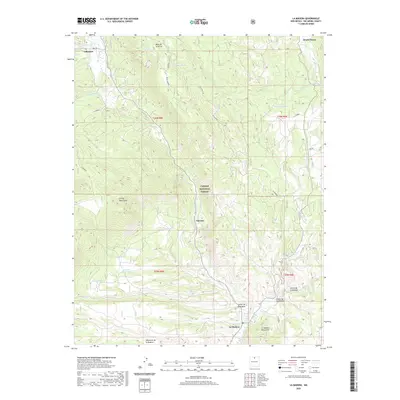
 1995 La Madera1997 Print · USGSNorthern New Mexico's canyon country comes into focus in the mid-nineties, showing the intersection of national forest management and traditional ranching. Local historians can locate Rancho de Trujillo, the Ancones settlement, and dozens of named prospects like the Little Julia Mine.
 - 2011 Map of La Madera, 2011 Print
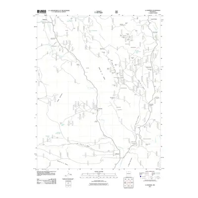 2011 La Madera2011 Print · USGSCovers South Petaca, including Rancho de Trujillo, LaMadera, and other nearby areas
 - 2013 Map of La Madera, 2013 Print
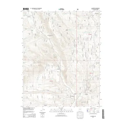 2013 La Madera2013 Print · USGSCovers South Petaca, including Rancho de Trujillo, LaMadera, and other nearby areas
 - 2017 Map of La Madera, 2017 Print
 2017 La Madera2017 Print · USGSCovers South Petaca, including Rancho de Trujillo, LaMadera, and other nearby areas
 - 2020 Map of La Madera, 2020 Print
 2020 La Madera2020 Print · USGSCovers South Petaca, including Rancho de Trujillo, LaMadera, and other nearby areas
 - 2023 Map of La Madera, 2023 Print
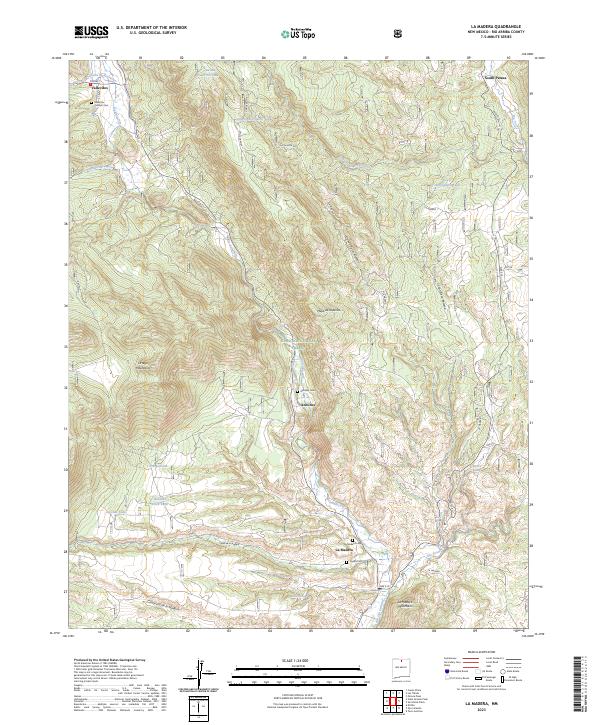 2023 La Madera2023 Print · USGSNorthern New Mexico's river valleys and high mesas are documented in this recent survey of the Rio Arriba area. Researchers can trace local heritage through burial sites like Vallecitos Catholic Cemetery and family-named terrain such as Cañon de la Madera.
End of results
Showing maps 1-12 of 12
Frequently asked questions
- What are the different types of historical maps available for South Petaca?
- What is the oldest map of South Petaca?
- Where can I purchase historical maps of South Petaca for my home or office?
- Where can I download high-res historical maps of South Petaca?
- Are there historical topographic maps available for South Petaca?
- Is there historical aerial imagery available for South Petaca?
- Where are historical maps of South Petaca sourced from?