Old Maps of Sublette, New Mexico for Academic Research
Study the evolution of Sublette with 13 high-resolution historic maps. Whether you're teaching, researching, or modeling changes in land use, these maps provide essential visual documentation of urban, environmental, and geographic change.
- Analyze long-term change: Track patterns in development, transportation, and natural features.
- Ideal for environmental or urban studies: Support academic projects with primary historical map data.
- Use in the classroom or lab: Educators and researchers rely on these maps to bring historical context to life.
These maps are a powerful tool for teaching, research, and visualizing how Sublette has changed over the decades.
Sublette, NM maps
(13)- 1918 Map of Tusas
 1918 Tusas1918 Print · USGSThe high country of Northern New Mexico and the Colorado border is captured here during the First World War. Researchers can trace the Denver and Rio Grande RR through remote stations like Toltec or locate early settlements in the Tierra Amarilla Grant.
 - 1954 Map of Aztec, 1975 Print
 1954 Aztec1975 Print · USGSNorthern New Mexico and southern Colorado come alive in the mid-1950s, showing the high-country settlements and tribal lands of the San Juan Basin. Genealogists and historians can trace the path of the Denver & Rio Grande Western RR and locate communities like Abiquiu, Park View, and Lumberton.4 unique versions available
 - 1958 Map of Aztec
 1958 Aztec1958 Print · USGSNorthern New Mexico and the southern Colorado border are captured here during the mid-fifties, showing the rugged intersection of national forests and tribal lands. Researchers can trace the Denver and Rio Grande Western rail line and locate remote outposts like Blanco Trading Post or Sargent Ranch.
 - 1962 Map of Aztec
 1962 Aztec1962 Print · USGSNorthwestern New Mexico in the early sixties showcases a landscape defined by the arrival of the Navajo Reservoir and the high-altitude timber of the Carson National Forest. Trace the path of the Denver & Rio Grande Western RR or locate historic settlements like Tierra Amarilla and Gobernador.
 - 1963 Map of Bighorn Peak, 1967 Print
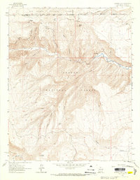 1963 Bighorn Peak1967 Print · USGSThe high country of the New Mexico-Colorado borderlands comes alive in the early sixties, showing a landscape of remote mountain settlements and national forest boundaries. Researchers can trace the path of the Rio Grande and Western railroad through Sublette or locate the small Cem near San Miguel.2 unique versions available
 - 1965 Map of Aztec
 1965 Aztec1965 Print · USGSNorthern New Mexico and southern Colorado come alive in the mid-sixties, from the San Juan Basin to the high Jemez Mountains. Trace the narrow-gauge Denver & Rio Grande Western RR through Monero or locate old outposts like Blanco Trading Post.
 - 1981 Map of Chama, 1982 Print
 1981 Chama1982 Print · USGSNorthern New Mexico's high-country rail corridors and historic land grants are mapped here as they appeared in the early eighties. Genealogists and historians can trace traditional settlements like Los Ojos and Tierra Amarilla or follow the narrow-gauge Cumbres and Toltec Scenic Railroad.
 - 1995 Map of Bighorn Peak, 1998 Print
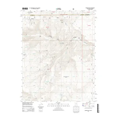
 1995 Bighorn Peak1998 Print · USGSThe Colorado-New Mexico borderlands come alive in the mid-nineties, centering on the remote settlement of Sublette and the winding Rio de los Pinos. Local historians can trace high-country ranching and timber heritage through landmarks like Atencio Springs, the local Cem, and Bighorn Peak.
 - 2011 Map of Bighorn Peak, 2011 Print
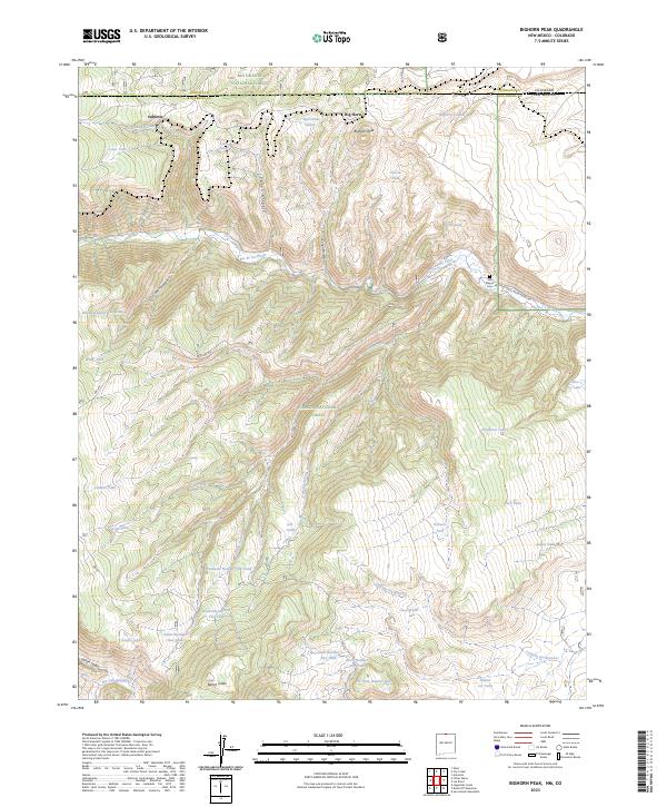
 2011 Bighorn Peak2011 Print · USGSCovers Sublette, including Big Horn, San Miguel, and other nearby areas
 - 2013 Map of Bighorn Peak, 2013 Print
 2013 Bighorn Peak2013 Print · USGSCovers Sublette, including Big Horn, San Miguel, and other nearby areas
 - 2017 Map of Bighorn Peak, 2017 Print
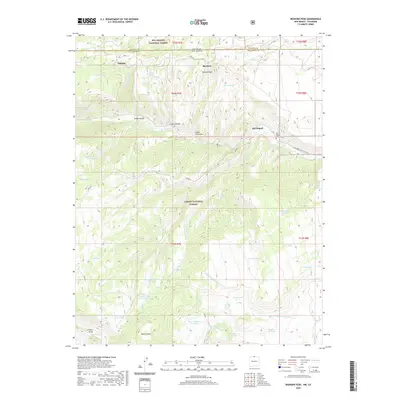
 2017 Bighorn Peak2017 Print · USGSCovers Sublette, including Big Horn, San Miguel, and other nearby areas
 - 2020 Map of Bighorn Peak, 2020 Print
 2020 Bighorn Peak2020 Print · USGSCovers Sublette, including Big Horn, San Miguel, and other nearby areas
 - 2023 Map of Bighorn Peak, 2023 Print
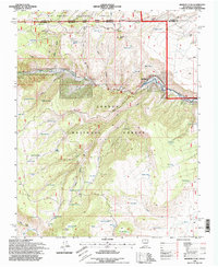
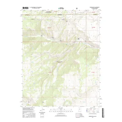
 2023 Bighorn Peak2023 Print · USGSHigh-country ranching and rail history meet along the New Mexico-Colorado border in the 2020s. Genealogists and historians can trace family-named landmarks like Banco Julian and San Miguel Cem alongside the rail siding at Osier.
End of results
Showing maps 1-13 of 13
Top cities near Sublette
Frequently asked questions
- What are the different types of historical maps available for Sublette?
- What is the oldest map of Sublette?
- Where can I purchase historical maps of Sublette for my home or office?
- Where can I download high-res historical maps of Sublette?
- Are there historical topographic maps available for Sublette?
- Is there historical aerial imagery available for Sublette?
- Where are historical maps of Sublette sourced from?