Old Maps of Floyd, New Mexico for Academic Research
Study the evolution of Floyd with 15 high-resolution historic maps. Whether you're teaching, researching, or modeling changes in land use, these maps provide essential visual documentation of urban, environmental, and geographic change.
- Analyze long-term change: Track patterns in development, transportation, and natural features.
- Ideal for environmental or urban studies: Support academic projects with primary historical map data.
- Use in the classroom or lab: Educators and researchers rely on these maps to bring historical context to life.
These maps are a powerful tool for teaching, research, and visualizing how Floyd has changed over the decades.
Floyd, NM maps
(15)- 1954 Map of Clovis, 1966 Print
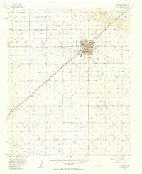
 1954 Clovis1966 Print · USGSThe High Plains of the Texas-New Mexico borderland come alive in this mid-century survey as the region's agricultural and rail networks reached their peak. Trace family roots and local history through features like Cannon AFB, the massive Sand Hills, and busy rail towns such as Friona and Littlefield.4 unique versions available
 - 1957 Map of Portales, 1958 Print
 1957 Portales1958 Print · USGSPortales was thriving as a center for higher education and ranching during the mid-fifties. Genealogists and local historians can trace family land at Ribble Ranch, locate the rural Bethel Cem, and see the early layout of Eastern New Mexico University.2 unique versions available
 - 1958 Map of Clovis
 1958 Clovis1958 Print · USGSThe High Plains of the New Mexico-Texas borderlands are captured here in the late fifties, during a period of significant military and agricultural expansion. Genealogists and historians can trace the rail-side growth of Clovis, the operations at Clovis Air Force Base, and the rural layout of communities like Muleshoe and Hereford.
 - 1973 Map of Floyd, 1975 Print
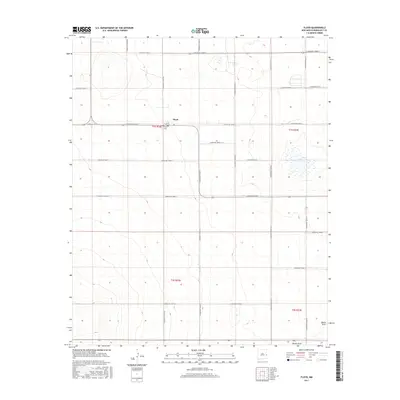
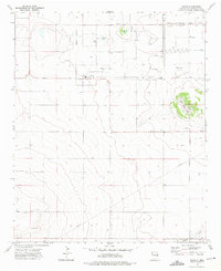 1973 Floyd1975 Print · USGSRoosevelt County in the early 1970s reveals a structured agricultural community built around the town of Floyd. Genealogists and historians can trace local landmarks like Central Ch, the Cem, and natural features like Tierra Blanca Lake.2 unique versions available
 - 1985 Map of Bethel
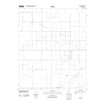
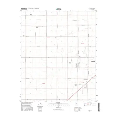
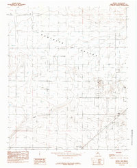 1985 Bethel1985 Print · USGSEastern New Mexico's ranching and agricultural heartland is captured here in the mid-eighties, showing the transition from open plains to managed water resources. Researchers can trace the layout of small communities like Bethel and Yerba or locate family-named landmarks such as Tinsley Crossing and Chalk Hill.
 - 2010 Map of Floyd, 2010 Print
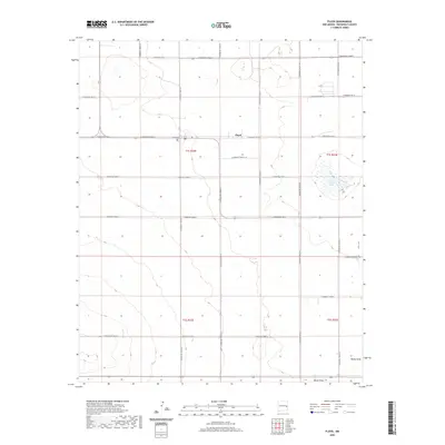
 2010 Floyd2010 Print · USGSCovers Floyd, including Roosevelt County, United States, and other nearby areas
 - 2010 Map of Bethel, 2010 Print
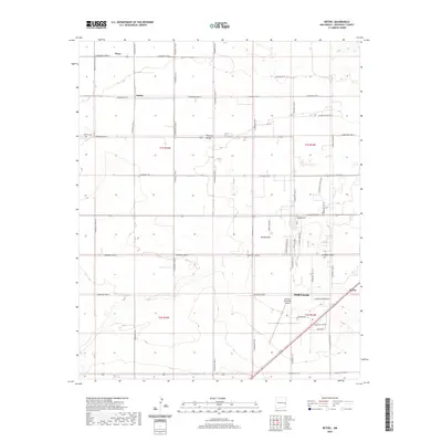
 2010 Bethel2010 Print · USGSCovers Floyd, including Portales, Bethel, and other nearby areas
 - 2013 Map of Floyd, 2013 Print
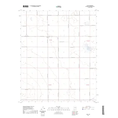
 2013 Floyd2013 Print · USGSCovers Floyd, including Roosevelt County, United States, and other nearby areas
 - 2013 Map of Bethel, 2013 Print
 2013 Bethel2013 Print · USGSCovers Floyd, including Portales, Bethel, and other nearby areas
 - 2017 Map of Floyd, 2017 Print
 2017 Floyd2017 Print · USGSCovers Floyd, including Roosevelt County, United States, and other nearby areas
 - 2017 Map of Bethel, 2017 Print
 2017 Bethel2017 Print · USGSCovers Floyd, including Portales, Bethel, and other nearby areas
 - 2020 Map of Floyd, 2020 Print
 2020 Floyd2020 Print · USGSCovers Floyd, including Roosevelt County, United States, and other nearby areas
 - 2020 Map of Bethel, 2020 Print
 2020 Bethel2020 Print · USGSCovers Floyd, including Portales, Bethel, and other nearby areas
 - 2023 Map of Floyd, 2023 Print
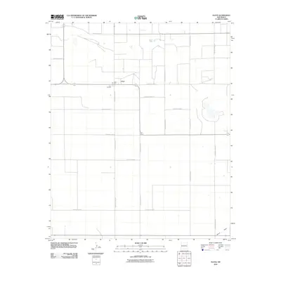
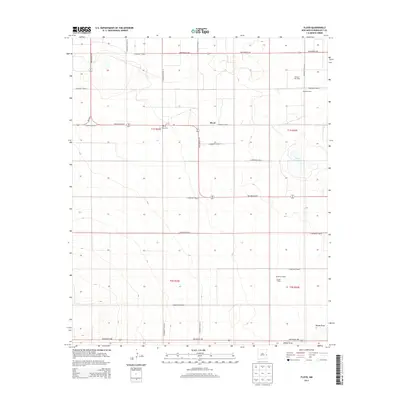
 2023 Floyd2023 Print · USGSThe High Plains of Roosevelt County appear here in the early twenty-first century, showing the organized grid of eastern New Mexico. Genealogists and local historians can locate Floyd and the Floyd Cem, or trace the natural course of Boone Draw.
 - 2023 Map of Bethel, 2023 Print
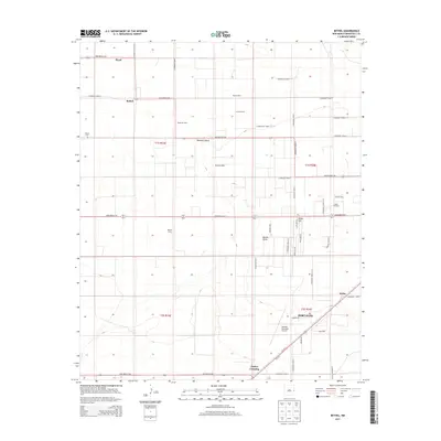
 2023 Bethel2023 Print · USGSRoosevelt County's high plains agricultural landscape is meticulously detailed here during its modern development. Genealogists and local historians can trace family locations near Floyd, the Bethel Cem, and the outskirts of Portales.
End of results
Showing maps 1-15 of 15
Top cities near Floyd
Frequently asked questions
- What are the different types of historical maps available for Floyd?
- What is the oldest map of Floyd?
- Where can I purchase historical maps of Floyd for my home or office?
- Where can I download high-res historical maps of Floyd?
- Are there historical topographic maps available for Floyd?
- Is there historical aerial imagery available for Floyd?
- Where are historical maps of Floyd sourced from?