Old Maps of Roosevelt County, New Mexico
Explore 340 old maps of Roosevelt County, spanning from 1954 to today. These high-resolution historic maps reveal how streets, neighborhoods, landmarks, and natural features evolved over time — perfect for genealogy, metal detecting, research, and local history exploration.
What you can do with these maps:
- See how Roosevelt County changed over time: Compare historical maps to modern-day views to trace roads, homesites, rail lines & more.
- View detailed metadata: Each map includes creators, publishers, year, scale, and archive source.
- Overlay maps with satellite & LiDAR: Visualize the past alongside modern tools to explore terrain & human change.
- Trusted historical sources: Maps sourced from the USGS, Library of Congress, and other archives.
- Access maps your way: View online, download high-res files, or order prints for personal or research use.
Start exploring old maps of Roosevelt County to uncover forgotten places, hidden landmarks, and the deep history beneath your feet.
Roosevelt County, NM maps
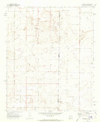
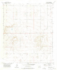
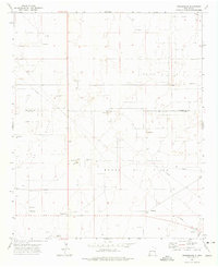
(340)- 1954 Map of Clovis, 1966 Print
 1954 Clovis1966 Print · USGSThe High Plains of the Texas-New Mexico borderland come alive in this mid-century survey as the region's agricultural and rail networks reached their peak. Trace family roots and local history through features like Cannon AFB, the massive Sand Hills, and busy rail towns such as Friona and Littlefield.4 unique versions available
 - 1954 Map of Brownfield, 1975 Print
 1954 Brownfield1975 Print · USGSThe High Plains of the Texas-New Mexico border are captured here in the mid-twentieth century, as ranching and oil extraction shaped the Llano Estacado. Genealogists and historians can trace small rural centers like Lums Chapel, Hillburn City, and the Friendship Sch amid a landscape of windmills.2 unique versions available
 - 1957 Map of Portair, 1958 Print
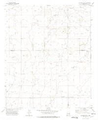
 1957 Portair1958 Print · USGSEastern New Mexico's high plains are captured here in the late fifties, centered on the strategic expansion of Cannon Air Force Base. Researchers can trace the rail-side growth of St Vrain, Grier, and Portair along the Atchison Topeka and Santa Fe line.2 unique versions available
 - 1957 Map of Melrose, 1958 Print
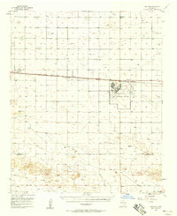
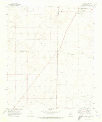
 1957 Melrose1958 Print · USGSEastern New Mexico ranching and rail life are captured here in the late fifties, centered on the activity of the plains. Genealogists and historians can locate family landmarks like Hart Ranch, the North Cem, and the central siding at Melrose along the Atchison Topeka and Santa Fe line.
 - 1957 Map of Clovis, 1958 Print
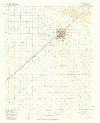
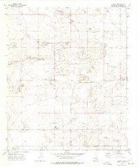
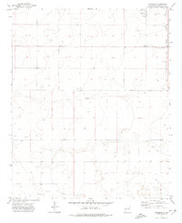
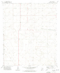
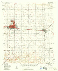 1957 Clovis1958 Print · USGSThe High Plains railroad hub of Clovis is captured here in the mid-fifties at the peak of its rail-era importance. Genealogists and researchers can trace the growth of the border towns of Texico and Farwell or locate landmarks like Lawn Haven Cem.3 unique versions available
 - 1957 Map of Arch, 1958 Print
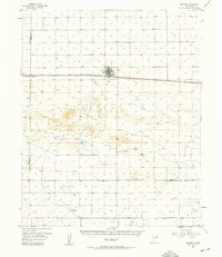
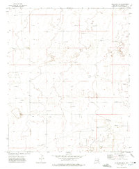
 1957 Arch1958 Print · USGSRoosevelt County ranching culture is captured here in the late fifties, showing the high plains landscape along the state line. Genealogists can locate Arch and family landmarks like Coldwater Ranch, Phillips Ranch, and the Eiland Cem.3 unique versions available
 - 1957 Map of Portales, 1958 Print
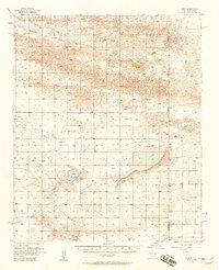
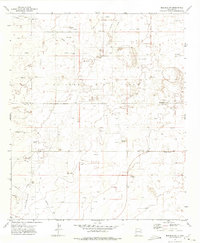
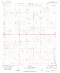
 1957 Portales1958 Print · USGSPortales was thriving as a center for higher education and ranching during the mid-fifties. Genealogists and local historians can trace family land at Ribble Ranch, locate the rural Bethel Cem, and see the early layout of Eastern New Mexico University.2 unique versions available
 - 1958 Map of Brownfield
 1958 Brownfield1958 Print · USGSThe High Plains of the Texas-New Mexico border are captured here during a mid-century oil boom. Genealogists and historians can trace old community sites like Lums Chapel and Tokio alongside the vast Levelland and Slaughter Oil and Gas Field.
 - 1958 Map of Clovis
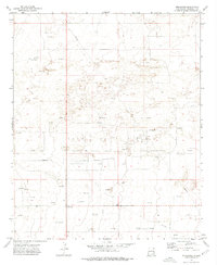
 1958 Clovis1958 Print · USGSThe High Plains of the New Mexico-Texas borderlands are captured here in the late fifties, during a period of significant military and agricultural expansion. Genealogists and historians can trace the rail-side growth of Clovis, the operations at Clovis Air Force Base, and the rural layout of communities like Muleshoe and Hereford.
 - 1962 Map of Brownfield
 1962 Brownfield1962 Print · USGSThe High Plains of Texas and New Mexico are captured in the early sixties as a thriving hub of oil production and ranching. Researchers can trace the industrial footprint of the Levelland and Slaughter Oil and Gas Field or locate smaller towns like Sundown and Littlefield.
 - 1970 Map of Lingo, 1972 Print
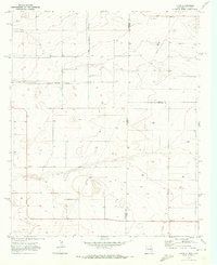 1970 Lingo1972 Print · USGSThe High Plains at the New Mexico and Texas border come alive in the early seventies, showing a landscape defined by ranching and resource extraction. Trace the footprint of small settlements like Lingo and Griffith alongside a Landing Field and a local Gravel pit.
 - 1970 Map of Bledsoe, 1973 Print
 1970 Bledsoe1973 Print · USGSBledsoe was a vital railhead at the edge of the Texas Panhandle during the expansion of the Permian Basin's energy reaches. Genealogists and industrial historians can trace the Atchison Topeka and Santa Fe line and the early development of the Buckshot Oil Field.
 - 1970 Map of Causey East, 1973 Print
 1970 Causey East1973 Print · USGSThe high plains of the New Mexico-Texas border come into focus in the early seventies, centered on the village of Causey. Genealogists and researchers can trace the Causey Corporate Boundary, locate the local Cem, and find industrial markers like the Pumping Sta.
 - 1970 Map of Bledsoe NE, 1973 Print
 1970 Bledsoe NE1973 Print · USGSThe High Plains along the state line between New Mexico and Texas are shown in this 1970 survey of industry and ranching. Researchers can trace land usage through Drill Holes, find a small Cem, and locate early infrastructure like a Pipeline.
 - 1972 Map of Milnesand SW, 1975 Print
 1972 Milnesand SW1975 Print · USGSThe High Plains of the New Mexico borderlands reveal an industrial landscape during the early 1970s energy boom. Researchers can trace the footprint of the Vandiver Oil Field and locate numerous Oil Wells, Gravel Pits, and remote ranch fencing.2 unique versions available
 - 1972 Map of Bluit, 1975 Print
 1972 Bluit1975 Print · USGSEastern New Mexico's ranching and energy landscape comes into focus during the early 1970s. Trace local family history at Perkins Memorial Cemetery or explore the development of Bluit near its network of Oil Wells and a rural Landing Strip.2 unique versions available
 - 1972 Map of Bledsoe SW, 1975 Print
 1972 Bledsoe SW1975 Print · USGSThe high plains of the New Mexico borderlands come into focus during the early seventies as the local economy shifts toward petroleum. Genealogists and historians can trace the remote Pitchfork School and the industrial infrastructure of the Allison Oil Field.2 unique versions available
 - 1972 Map of Dora NW, 1975 Print
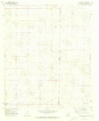
 1972 Dora NW1975 Print · USGSRoosevelt County ranching lands and the high plains of the Llano Estacado are captured here in the early 1970s. Researchers can trace the path of a major Pipeline or locate local landmarks like Red Lake and various Gravel Pit sites.2 unique versions available
 - 1972 Map of Garrison, 1975 Print
 1972 Garrison1975 Print · USGSRoosevelt County's high plains are captured here in the early seventies, showing a quiet landscape of isolated wells and rural boundary lines. Researchers can pinpoint the Causey Cem and the small settlement of Garrison, or trace the Causey Corporate Boundary.
 - 1972 Map of Milnesand, 1975 Print
 1972 Milnesand1975 Print · USGSMilnesand and the surrounding Llano Estacado high plains are captured in the early 1970s during a period of significant petroleum activity. Local historians can trace the industrial footprint of the Todd Oil Field through its many Oil Well locations, Pipeline corridors, and the Pumping Sta.2 unique versions available
 - 1972 Map of Dora SW, 1975 Print
 1972 Dora SW1975 Print · USGSRoosevelt County's high plains were a hub of energy exploration in the early seventies, as evidenced by this detailed topographic survey. Researchers can trace the network of an early Pipeline and locate numerous scattered Oil Well and Drill Hole sites across the open range.2 unique versions available
 - 1972 Map of Crossroads, 1975 Print
 1972 Crossroads1975 Print · USGSThe eastern New Mexico high plains were a hive of energy extraction in the early 1970s, where the county lines of Lea and Roosevelt meet. Genealogists and local historians can trace the industrial footprint of Crossroads through landmarks like the Gas Plant and Prairie Oil Field.
 - 1972 Map of Pep, 1975 Print
 1972 Pep1975 Print · USGSThe rural plains of Roosevelt County were captured in the early seventies during a period of steady agricultural and resource development. Genealogists can locate family landmarks like New Hope Cem and the small settlements of Pep and Richland.
 - 1972 Map of Causey West, 1975 Print
 1972 Causey West1975 Print · USGSRoosevelt County ranching and farming communities are mapped in the early seventies along the Texas border. Trace family roots and land use near Causey, the Longs Cem, and the small settlement of Rogers.2 unique versions available
 - 1972 Map of Milnesand NW, 1975 Print
 1972 Milnesand NW1975 Print · USGSRoosevelt County's high plains were a hub of energy production in the early seventies, dominated by the petroleum industry. Researchers can trace the layout of the Chaveroo Oil Field, find the Eagle Hill Cem, and locate the industrial Pipeline.2 unique versions available
Showing maps 1-25 of 340
Top cities of Roosevelt County
- Portales historical maps
- Elida historical maps
- Dora historical maps
- Floyd historical maps
- Causey historical maps
Frequently asked questions
- What are the different types of historical maps available for Roosevelt County?
- What is the oldest map of Roosevelt County?
- Where can I purchase historical maps of Roosevelt County for my home or office?
- Where can I download high-res historical maps of Roosevelt County?
- Are there historical topographic maps available for Roosevelt County?
- Is there historical aerial imagery available for Roosevelt County?
- Where are historical maps of Roosevelt County sourced from?